A useful observation programme begins with a decision that somebody can act on. Before selecting imagery or instruments, define the area of interest, the people responsible for inspecting it, and the time available for a response. This planning perspective connects remote measurements with the practical questions that shape a survey or monitoring service. The aim is to identify which observations would change a decision, how supporting evidence would be collected, and what should happen when information is incomplete. A clear plan makes later technical choices easier to assess against an operational purpose.
This working guide considers ndre and crop canopy interpretation in apple orchard management. The immediate decision is to review orchard blocks by growth stage. Useful reference evidence includes pruning history, phenological stage and representative canopy notes. The case is an illustrative planning context, with assumptions to check against the actual sensor, landscape and project requirements.
Define the Red Edge measurement precisely
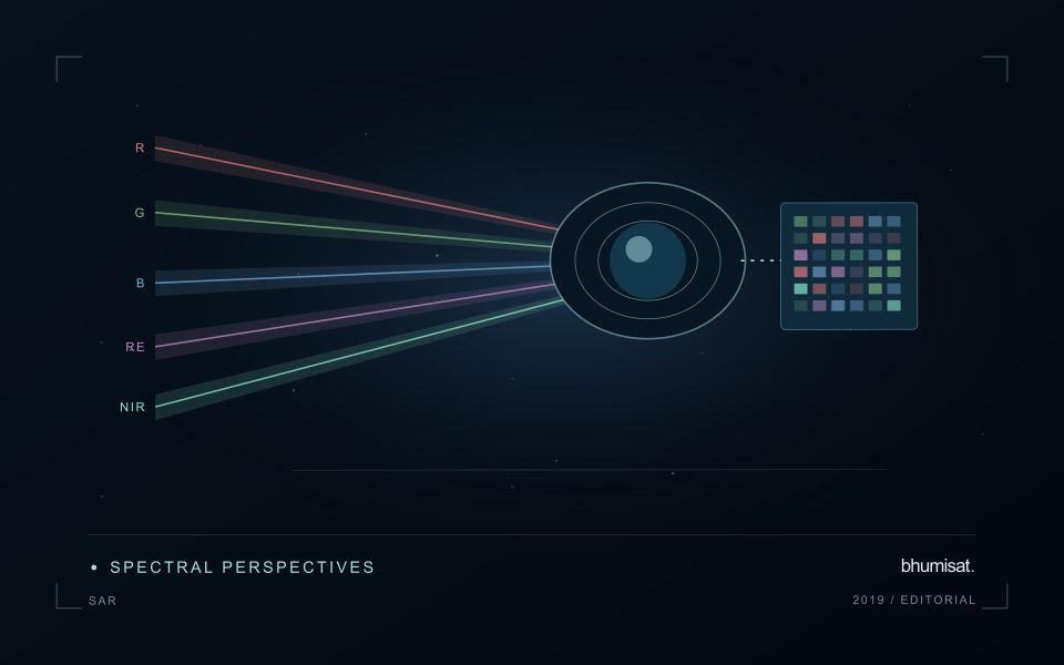
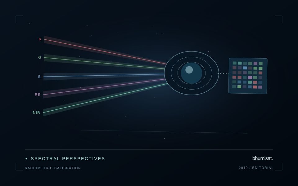
NDRE uses the contrast between near-infrared reflectance and a selected Red Edge band, commonly expressed as a normalised difference. Its meaning depends on the actual spectral response of those channels. Two instruments described as having Red Edge capability may observe different wavelength intervals, so their index values are not automatically interchangeable. Record the selected bands, the product level and any resampling applied to them. This is particularly important when a monitoring service combines observations from several satellite or aerial instruments.
The Red Edge region captures a transition between strong absorption in red wavelengths and the higher reflectance often observed in near-infrared wavelengths over vegetation. A measurement in that transition can provide information that differs from a conventional red band. However, canopy structure, growth stage, soil visibility and illumination also influence the observed signal. An apparent improvement over another index should be demonstrated for a defined crop parameter and evaluation dataset, rather than inferred from the presence of an additional spectral channel alone.
Separate spectral sensitivity from agronomic evidence
A sound comparison uses compatible surface reflectance inputs and observations of similar quality. Inspect cloud edges, shadows, band alignment and field boundaries before interpreting small changes. Bands with different native spatial sampling may require a common grid, but resampling does not create new measured ground detail. Where the field contains only a few usable pixels, boundary mixing can dominate the result. Summarising an interior area separately from the full field can help reveal that sensitivity, provided the exclusion rule is documented consistently.
An agricultural model built around NDRE needs independent measurements of the parameter it claims to estimate. If the objective concerns leaf or canopy condition, the field protocol should specify what is measured, where, when and at what scale. Keep calibration observations separate from the final evaluation sample. Examine performance across crop ages and management regimes, including difficult cases. The resulting evidence can support a targeted application, while uncertainty and sampling limits remain visible. A spectral response is an observation; an agronomic conclusion requires an additional, tested relationship.
The setting: Apple orchard management
Apple orchards follow a strong management and seasonal sequence, and the surface seen by a satellite changes with it. Leaf development, pruning, ground cover and harvest-related activity can alter the observation without indicating an unexpected problem. A monitoring design should identify which part of this sequence matters to the decision. Store block boundaries together with tree age, training arrangement and a record of the events that could influence a comparison between dates.
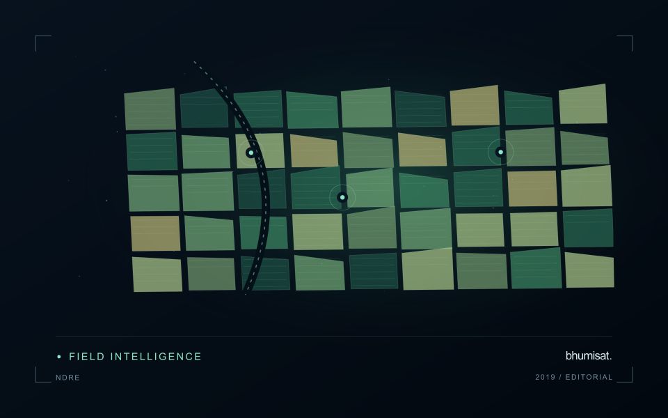
Canopy measurements and block measurements are not always the same thing. Where the image resolution mixes tree rows with soil or grass, the resulting value describes that mixture. Differences in row direction and illumination can further complicate interpretation. Use imagery at a suitable spatial support and retain the valid observation area within each summary. A more detailed map should be justified by the information actually resolved, rather than by the sharpness of its display.
Field validation should record phenological stage, canopy condition and recent management at identified sample locations. If the intended service concerns fruit production or quality, it requires corresponding measurements and an evaluation plan matched to that outcome. A canopy anomaly may help focus inspection but does not establish its cause. Reports should give orchard staff the dates, quality context and operational interpretation needed to judge whether another field visit would improve a pending decision.
Maintain the geographic units of analysis
Many observation services summarise measurements within a field, management block, catchment, forest unit, or other mapped boundary. The meaning of that summary depends on whether the boundary accurately represents the unit being discussed. Start with a clear source for the geometry and record its date, coordinate reference, and intended use. A boundary drawn for visual orientation may require additional checking before it becomes a measurement unit.
Inspect overlaps, gaps, narrow fragments, and features that may have changed since mapping. A geometrically valid polygon can still describe an outdated operational unit. Ask the responsible team how divisions, mergers, new infrastructure, and management changes are recorded. Where pixels or reference measurements cross a boundary, define how they are assigned or excluded so that results remain comparable between analysts and processing runs.
Version the boundaries alongside the observations. If a unit changes, preserve a relationship between the previous and revised geometry rather than replacing the history without explanation. Comparisons through time should identify whether they use a constant spatial unit or the operational units valid at each date. This makes it easier to distinguish a change in the measured surface from a change introduced by the geography used to summarise it.
Design field observations around the information need
Field observations are most useful when they answer a defined question within the monitoring workflow. Begin by identifying the variable, condition, or management event that needs to be recorded and the geographic unit to which it applies. Distinguish direct measurements from an observer's interpretation. A consistent record of crop stage, management timing, and visible conditions can provide valuable context even when the field team is not collecting a complex set of measurements.
Prepare a collection protocol that reflects the variability of the site. Define where observations are made within a unit, how many locations are represented, and how the position and time are recorded. Avoid selecting only the most dramatic or convenient examples. Include apparently normal conditions and records that might challenge the remote interpretation. Where a measurement method has known limitations, preserve the information needed to assess whether those limitations affect the intended comparison.
Link field records to the corresponding remote observations without losing their original detail. Geographic matching, timing, and the scale represented by each record should remain visible. Review disagreements with the collecting team before changing a label or excluding an observation. A disagreement may reveal a timing mismatch, a mixed surface, or an incomplete interpretation rather than a simple error. The field programme should improve the understanding of the monitoring process as well as provide evidence for evaluating its outputs.
Bring the evidence back to the decision
The practical outcome should be a short observation plan that another team can follow. It should name the decision, the required evidence, the responsible roles, and the conditions that trigger a field visit or further analysis. Keep the plan small enough to test, then revise it using the results of real inspections. A useful monitoring workflow improves because its assumptions are examined systematically, and its observations remain connected to decisions throughout the process.
Sources & further reading
Explore the bhumisat spacecraft concept and our vision towards 2030, or return to the journal.