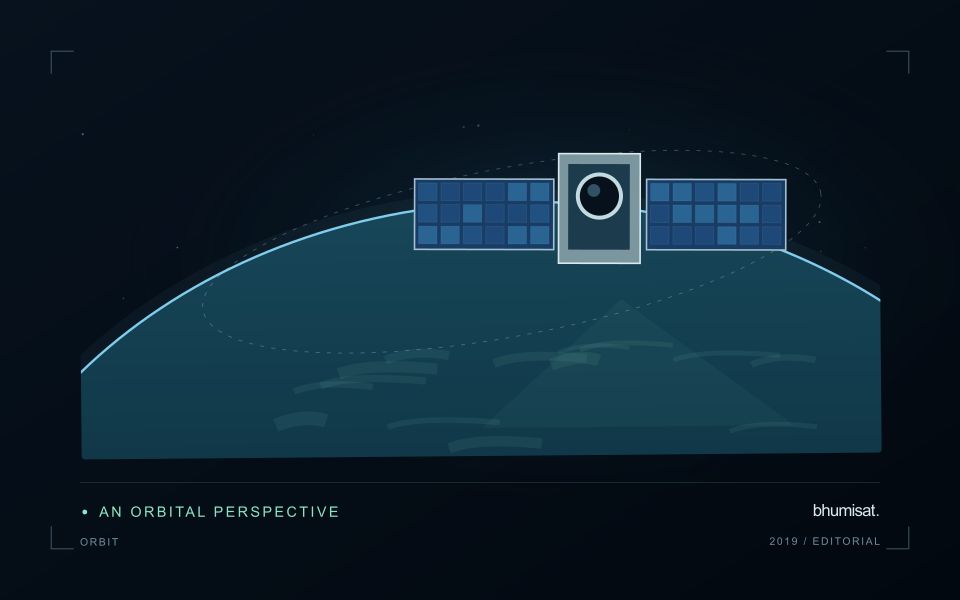
Satellite remote sensing becomes useful when an observation from orbit answers a question on the ground. A farm manager may want to know which blocks require inspection. A researcher may need to compare land cover across seasons. A public agency may need a consistent view of agricultural landscapes that are too extensive to survey at once. Each task begins with a decision, rather than an image.
This retrospective opens our 2019–2026 knowledge series with the foundations of Earth observation. It considers the capabilities available around the beginning of that period and the practical principles that remain relevant today. The purpose is to explain how an independent satellite vision can be informed by useful, testable applications.
What satellite remote sensing actually measures
A remote sensor records a physical signal at a distance. In optical satellite imaging, that signal commonly includes sunlight reflected by the surface and atmosphere. The measurements are organised into spectral bands and placed within a geographic reference. A resulting image is therefore both a visual representation and a structured collection of measurements. USGS provides an accessible introduction to this distinction. [1]
Looking at an image and analysing an image are related activities, but they require different levels of preparation. A colour composite may reveal a road, coastline or plantation boundary. A comparison of vegetation between dates requires more attention to atmospheric conditions, calibration, viewing geometry and the consistency of processing. Attractive colours alone provide little assurance that a measured change represents a real change in vegetation.
Why agriculture benefits from repeated observations
Agriculture changes through time. Crops emerge, develop leaves, form canopies, mature and are harvested. Rainfall, management and unexpected disturbances influence that progression. An isolated image captures one moment within this sequence. A carefully assembled time series can reveal whether a field is developing differently from its own previous seasons or from neighbouring fields with a comparable planting date.
For example, imagine an agricultural business managing many separated blocks. It cannot send the same specialist to every location each morning. A satellite monitoring workflow could organise the blocks according to recent observations, data quality and changes worth investigating. The immediate benefit would be a more focused inspection plan. Whether this ultimately improves yield or reduces costs would need to be measured through operational records.
The contribution of open satellite archives
By 2019, users could already work with established public Earth observation archives. USGS had made Landsat archive products available without a download charge following its 2008 open-data policy. That access supports historical comparisons and lowers one barrier to experimentation. It does not remove the costs of storage, analysis, skilled interpretation or field work. [2]
The Copernicus Sentinel-2 mission also illustrates the value of observing multiple parts of the spectrum. Its multispectral instrument samples thirteen bands, with spatial resolution varying by band. This is a reminder that a satellite product is a collection of related measurements, rather than a single universal picture with one level of detail. The selected bands and their characteristics must fit the question being investigated. [3]
Four resolutions that shape a monitoring service
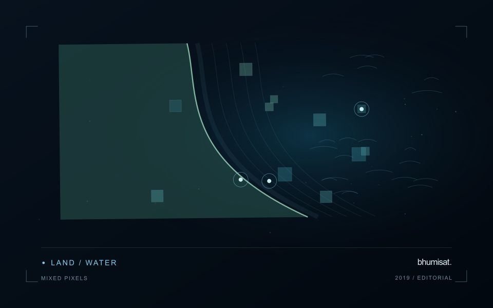
Spatial resolution describes the ground detail represented by the data. The relevant question is whether a field or management block contains enough useful observations to support interpretation. Small irregular plots may contain many boundary pixels that mix crops, paths and neighbouring land. A product that works well across a large estate may require a different approach in a landscape of very small holdings.
Temporal resolution concerns observation opportunities over time. Operational planning should distinguish a satellite passing over an area from obtaining a usable observation of that area. Clouds and shadows can reduce the usefulness of optical imagery. A monitoring service should make the actual acquisition date and quality visible, especially when a farmer is deciding whether a recent alert deserves an immediate visit.
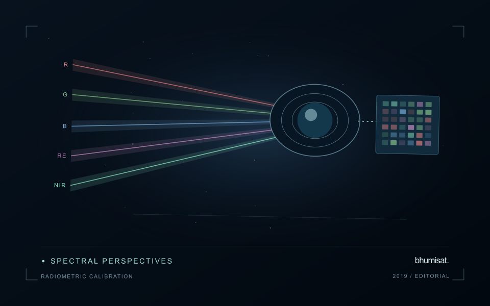
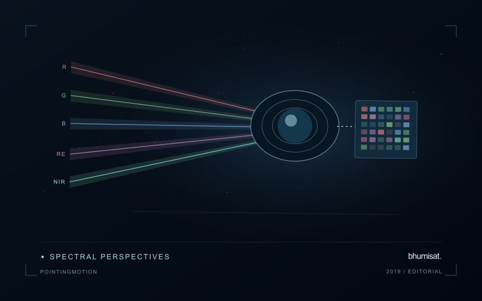
Spectral resolution concerns the wavelength ranges observed. Visible bands support familiar colour interpretation, while other bands provide additional contrasts that can help distinguish surface materials and vegetation conditions. Radiometric resolution concerns how finely differences in signal can be recorded. Neither characteristic independently guarantees a successful crop model. Useful performance emerges from the complete system and its validation.
From scene to agricultural information
A dependable workflow starts with accurate field boundaries and reliable information about the crop and season. It then selects suitable imagery, excludes observations that do not meet quality requirements, and computes features appropriate for the task. Results should be summarised at a meaningful management scale. A farm operator often needs a block-level priority list more urgently than a colourful full-resolution raster.
The report should retain enough context to explain each result. A change score can be accompanied by the observation date, the proportion of valid pixels and a link to the supporting image. When data are missing, the system should say so. Repeating an old image without clearly identifying its age creates a misleading impression of current knowledge and weakens confidence in the entire monitoring process.
Field observations make the interpretation stronger
Satellite measurements show patterns that can have several possible causes. A sparse canopy could reflect crop age, a recent management operation, water stress, disease, soil limitations or a mapping error. Field teams help separate these explanations. Their observations should include location, date, crop stage and a consistent description of what they actually measured, rather than only an unstructured label such as healthy or unhealthy.
A practical validation plan includes both apparently normal and unusual areas. Visiting only the most dramatic alerts can distort the evidence available for evaluating a model. Teams should also record when an alert leads to no actionable finding. These negative results help reveal false alarms, refine thresholds and establish whether the service is useful under everyday operating conditions.
Designing a business around the decision
Agricultural intelligence involves more than processing imagery. Customers need dependable delivery, a clear interpretation and a way to use the information within existing responsibilities. A research team may accept a detailed analytical report, while an estate manager may prefer a short list of inspection locations. The underlying observations can be similar even though the appropriate products differ substantially.
Commercial evaluation should therefore consider the cost of producing and maintaining the service alongside its technical accuracy. Field validation, customer support, boundary updates and integration work all require resources. A pilot should measure whether the information changes a decision and whether that change is valuable enough to justify continued adoption. Claims of savings or yield improvement should follow evidence from those deployments.
How this foundation informs the bhumisat vision
For bhumisat, the useful starting point is a set of observation requirements grounded in real agricultural questions. Requirements might concern which spectral measurements are needed, how often an area must be observed and what level of geographic accuracy makes a result useful. Those requirements can be tested using existing satellites and complementary field instruments before any independent spacecraft architecture is finalised.
The broader lesson of the 2019 starting point remains straightforward: access to imagery creates an opportunity, while a validated workflow creates a service. A future Earth observation mission should strengthen that workflow through measurable capabilities. Building the connection between orbital measurements and field decisions is the work that gives a satellite programme its purpose.
Sources & further reading
Explore the bhumisat spacecraft concept and our vision towards 2030, or return to the journal.