A useful observation programme begins with a decision that somebody can act on. Before selecting imagery or instruments, define the area of interest, the people responsible for inspecting it, and the time available for a response. This planning perspective connects remote measurements with the practical questions that shape a survey or monitoring service. The aim is to identify which observations would change a decision, how supporting evidence would be collected, and what should happen when information is incomplete. A clear plan makes later technical choices easier to assess against an operational purpose.
This working guide considers mixed pixels and field boundary effects in seasonal dry woodlands. The immediate decision is to distinguish seasonal change from disturbance. Useful reference evidence includes leafing stage, disturbance evidence and land-management records. The case is an illustrative planning context, with assumptions to check against the actual sensor, landscape and project requirements.
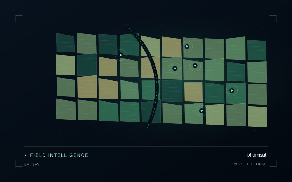
A pixel can represent several surface components
A satellite pixel represents an observation over a ground area, influenced by the instrument's spatial response and the scene within it. That area may contain several materials, such as crop canopy, soil, shade, water or a road. A mixed response is therefore common, especially near boundaries and in fragmented landscapes. It should not be treated automatically as a processing defect. The analytical question is whether the mixture supports the intended interpretation and whether a model trained under one mixture remains applicable under another.
Field geometry affects the number and character of observations available. A compact large field can contain many interior pixels, while a narrow or irregular field may consist mostly of boundary observations. Simply counting pixels does not establish how much independent information a dataset provides. Resampling onto a finer grid also does not remove the original mixing. Before selecting a monitoring product, examine the relationship between field dimensions, relevant landscape features and the measured spatial characteristics of the imagery that will support the service.
Choose a reporting unit that the data can support
Boundary exclusions can help investigate sensitivity to neighbouring surfaces, but they need a consistent rule and a clear purpose. Excluding a fixed distance may remove much of a small field while leaving a substantial interior in a larger one. Report the area retained and consider whether the remaining pixels represent the management unit fairly. Compare full-field and interior summaries during method development. A large difference can reveal a boundary or mixture problem that deserves attention before an alert is presented as a crop condition.
Validation should use observations collected at a scale compatible with the satellite interpretation. A measurement from a single plant or a small isolated plot may not describe the larger mixed area observed from orbit. Document the spatial support of both datasets and consider stratified sampling across relevant components. If the application requires information finer than the data can support, seek a suitable complementary source or change the question. Recognising mixed pixels helps an analyst design a credible product instead of assigning field-level precision to an observation that contains several different surfaces.
The setting: Seasonal dry woodlands
Seasonal dry woodlands can change markedly in appearance as leaf cover, understory vegetation and soil exposure vary through the year. A sparse-looking canopy during one period may be part of an ordinary seasonal cycle rather than evidence of degradation. Interpretation should begin with the local seasonal context and the intended observation variable. Mapping woody cover, reviewing a disturbance alert and studying vegetation recovery require related but distinct forms of evidence.
Build comparisons using appropriate dates and quality-screened measurements, and examine whether an apparent change persists beyond a short seasonal fluctuation. Ground vegetation can contribute strongly where tree cover is open. Rainfall timing, grazing or other land management may alter that contribution without changing the woody component. A report should retain the observed area and acquisition dates so that a user can distinguish a current measurement from an inference made across a long image gap.
Field validation should record tree and ground-layer conditions separately where that distinction matters to the application. Include the leafing stage, signs of recent disturbance and the management context of each sampled area. A decline in a vegetation measure cannot identify its cause by itself. Evaluate mapped changes against representative observations across different canopy densities and seasonal states, and communicate where the available imagery supports a broad landscape interpretation rather than a precise inventory of individual trees.
Budget the complete processing workflow
A processing budget should cover the complete path from source observations to a maintained product. Data access and computing are only part of that path. Include preparation, geographic updates, reference collection, expert review, delivery, and support where those activities belong to the service. A calculation that runs cheaply on a small demonstration can still require substantial effort when the surrounding work is repeated across many locations.
Measure representative tasks rather than assuming that every observation costs the same amount to process. Record data volume, processing time, retry frequency, manual interventions, and the conditions that create unusually demanding cases. Separate fixed setup work from work that grows with the number of observations or users. These records support decisions about batching, caching, storage policy, and the point at which a different processing design becomes worthwhile.
Connect the budget to a defined level of service. Faster delivery, more frequent observation, broader coverage, or more detailed review can each change the resources required. Describe these trade-offs before promising a delivery pattern that the workflow has not demonstrated. Review the budget using operational evidence and preserve enough detail to understand changes between processing versions. The aim is a sustainable service whose resource choices remain aligned with the information that users value.
Stratify forest reference observations
Forest landscapes can contain substantial variation in structure, composition, management history, and observation conditions. A reference plan should identify the forms of variation that matter to the intended analysis. Start with a clear target population and use available information to define meaningful strata. The objective is to represent the conditions in which the method will be used, rather than collecting only the most accessible or visually uniform examples.
Match the reference unit to the scale of the remote measurement. A field plot, an individual tree observation, and an image pixel can describe different portions of the canopy and ground. Record plot geometry, position, measurement time, and the procedures used to handle boundaries or incomplete coverage. Where geographic uncertainty is important relative to plot size, evaluate its potential effect before treating a difference between sources as a failure of the analytical method.
Keep the estimation and evaluation questions distinct. Reference measurements used to fit a relationship do not automatically provide an independent test of that relationship. Consider holding out suitable locations or forest conditions when evaluating transfer. Report the range of structure and conditions represented by the evidence, together with important gaps. A stratified reference programme becomes useful when it supports a clear interpretation of where a result is well supported and where further observations are required.
Bring the evidence back to the decision
The practical outcome should be a short observation plan that another team can follow. It should name the decision, the required evidence, the responsible roles, and the conditions that trigger a field visit or further analysis. Keep the plan small enough to test, then revise it using the results of real inspections. A useful monitoring workflow improves because its assumptions are examined systematically, and its observations remain connected to decisions throughout the process.
Sources & further reading
Explore the bhumisat spacecraft concept and our vision towards 2030, or return to the journal.