A workflow that succeeds on a small study area may encounter different constraints when the number of observations, locations, or users increases. Scaling requires attention to processing capacity, data organisation, reference coverage, and the effort needed to review results. This perspective looks beyond whether a calculation can run on a larger dataset. It asks whether the complete service can preserve its meaning, quality, and delivery commitments as its scope expands. The objective is a design that identifies bottlenecks early and increases throughput without silently weakening the evidence available to users.
This working guide considers writing requirements from an earth observation need in potato growing fields. The immediate decision is to focus scouting within potato fields. Useful reference evidence includes emergence records, canopy stage and representative plot observations. The case is an illustrative planning context, with assumptions to check against the actual sensor, landscape and project requirements.
The setting: Potato growing fields
Potato monitoring begins with the distinction between the canopy visible from above and the crop component ultimately harvested below ground. Establishment timing, variety, row structure and management can create different canopy patterns across fields. An image service should specify whether it is supporting crop-stage assessment, identifying areas for inspection or estimating a defined production variable. These objectives require different reference measurements and should not be combined into one unqualified vegetation score.
Maintain a field timeline that includes planting, emergence and the operations that can affect canopy appearance. Early observations may contain a large soil contribution, while later observations may show a more continuous canopy. Cloud and shadow contamination, field edges and neighbouring land cover can alter summaries at either stage. Compare observations using suitable quality rules and retain the acquisition dates so that a recent-looking map does not conceal an old measurement.
A field team should collect consistent crop-stage and canopy observations across both flagged and typical areas. Record management context and sampling support rather than relying on an isolated photograph. A vegetation change cannot establish the presence of a specific disease, and a canopy index is not a direct measurement of tuber yield. Evaluate any production model with appropriate harvest data and independent assessment, while keeping the simpler inspection-priority product transparent about what it actually observes.
Translate a user decision into measurable behavior
A mission requirement should connect to a decision that someone needs to make with the observations. Begin by defining the target phenomenon, geographic area, relevant season and consequence of delay or error. A request to monitor crops is too broad to guide a spacecraft design. The useful question is which crop condition must be distinguished, at what field scale, how often, and with what confidence.
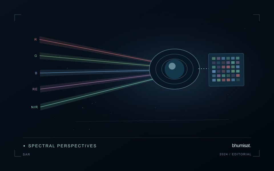
Translate these needs into product requirements before allocating spacecraft specifications. Consider spatial detail, spectral information, radiometric performance, location accuracy, usable revisit and delivery latency. Geometric revisit describes observation opportunities; clouds and acquisition constraints can make usable observations much less frequent. Define terms carefully so that a requirement for delivered, cloud screened coverage cannot be satisfied merely by showing an orbit access calculation.
Keep traceability through design and verification
Write individual requirements that can be checked using a stated method and acceptance criterion. Identify the conditions under which each applies, such as target brightness, viewing angle or operating temperature. Avoid combining several unrelated promises in one sentence. Retain a rationale and a link to the higher level need, allowing reviewers to understand why the requirement exists and what would change if it were relaxed.
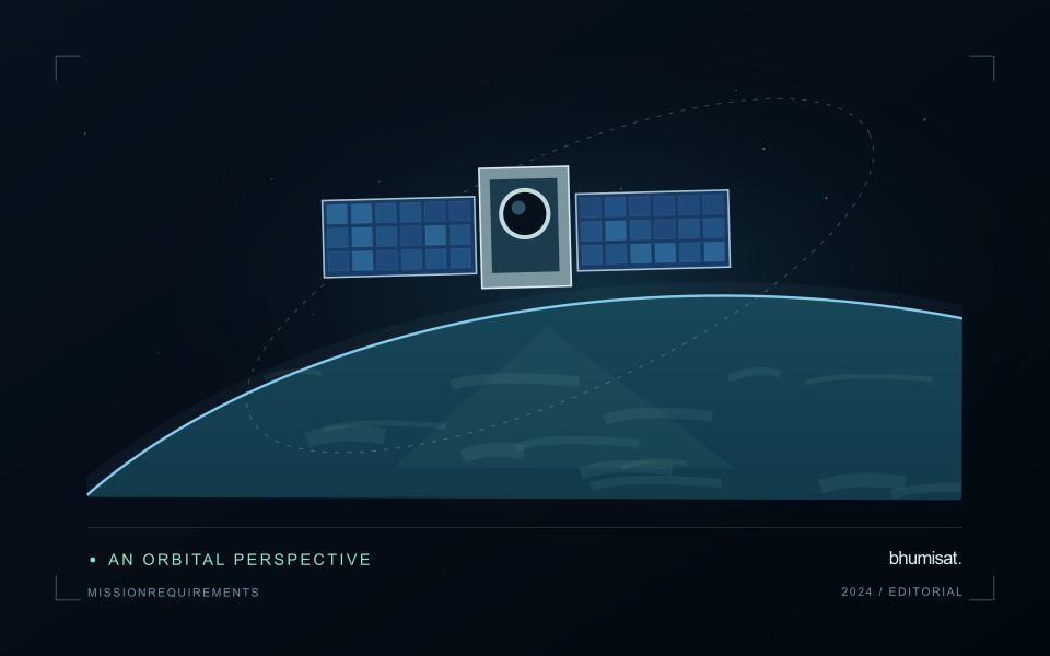
Allocate performance across the payload, spacecraft, ground segment and processing chain. Image sharpness may depend on optics, detector sampling, motion and resampling. Delivery time may depend on acquisition planning, onboard storage, ground contacts and processing queues. Budgets make these contributions visible and expose conflicts between objectives. Preserve margin where uncertainty remains, and record assumptions rather than hiding them inside an optimistic headline specification.
Plan verification while writing the requirement. Inspection, analysis, demonstration and testing each provide different kinds of evidence. Define the test configuration, reference measurement, uncertainty and pass criterion early enough to influence the design. Verification asks whether the implemented system meets its requirements; validation asks whether that system serves the intended use. Representative users and realistic application examples can reveal an inadequate requirement even when every hardware test passes. Manage revisions through a controlled record that describes their consequences for dependent requirements, budgets and tests. This turns requirements into a working design tool rather than a document assembled only before a review.
Maintain the geographic units of analysis
Many observation services summarise measurements within a field, management block, catchment, forest unit, or other mapped boundary. The meaning of that summary depends on whether the boundary accurately represents the unit being discussed. Start with a clear source for the geometry and record its date, coordinate reference, and intended use. A boundary drawn for visual orientation may require additional checking before it becomes a measurement unit.
Inspect overlaps, gaps, narrow fragments, and features that may have changed since mapping. A geometrically valid polygon can still describe an outdated operational unit. Ask the responsible team how divisions, mergers, new infrastructure, and management changes are recorded. Where pixels or reference measurements cross a boundary, define how they are assigned or excluded so that results remain comparable between analysts and processing runs.
Version the boundaries alongside the observations. If a unit changes, preserve a relationship between the previous and revised geometry rather than replacing the history without explanation. Comparisons through time should identify whether they use a constant spatial unit or the operational units valid at each date. This makes it easier to distinguish a change in the measured surface from a change introduced by the geography used to summarise it.
Design an evaluation that reflects deployment
A model evaluation should resemble the conditions in which the model will be used. Start by identifying which relationships the development data share: nearby locations, repeated observations of the same unit, common collection teams, or measurements from a single period. These relationships can make records less independent than they appear. An evaluation that ignores them may test the ability to recognise familiar conditions rather than the ability to operate in a new setting.
Choose a split strategy that matches the intended transfer. Holding out locations, seasons, operational units, or acquisition conditions can answer different questions. Document which question each split is designed to address, and keep the held-out evidence separate while selecting features and tuning the method. Repeatedly inspecting the same evaluation set to improve a model gradually makes that set part of development, even if it retains its original label.
Report results at a scale that is meaningful to the user. A strong average can hide poor performance for important subgroups or unusual conditions. Examine error patterns and retain examples of both successful and unsuccessful predictions. Where the evidence covers only a limited range of conditions, describe that range explicitly. The evaluation then becomes a practical guide to suitable use, further testing, and the collection of additional reference observations.
Bring the evidence back to the decision
Expansion should be guided by measured workload, visible quality conditions, and an understanding of which tasks require expert attention. Test the workflow under representative data volumes before treating a successful demonstration as evidence of operational capacity. Preserve a route for investigating individual observations even when most processing is automated. A scalable service keeps its results traceable and useful as it grows, with clear choices about where to automate, where to review, and where to invest in additional evidence.
Sources & further reading
Explore the bhumisat spacecraft concept and our vision towards 2030, or return to the journal.