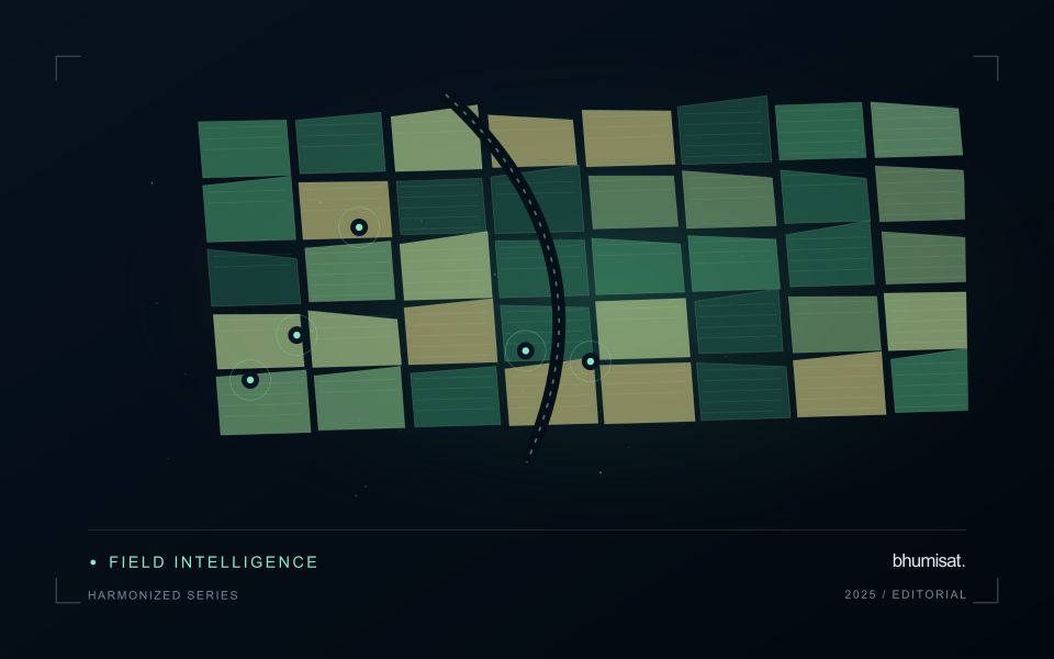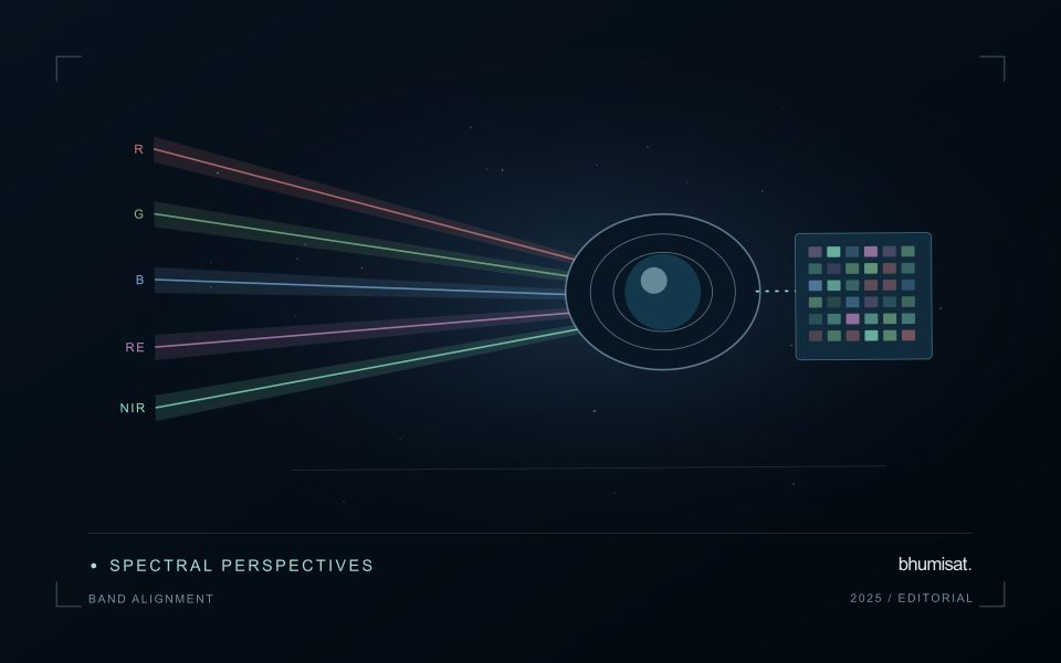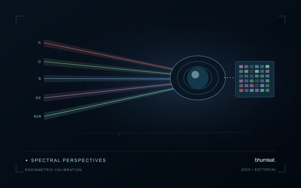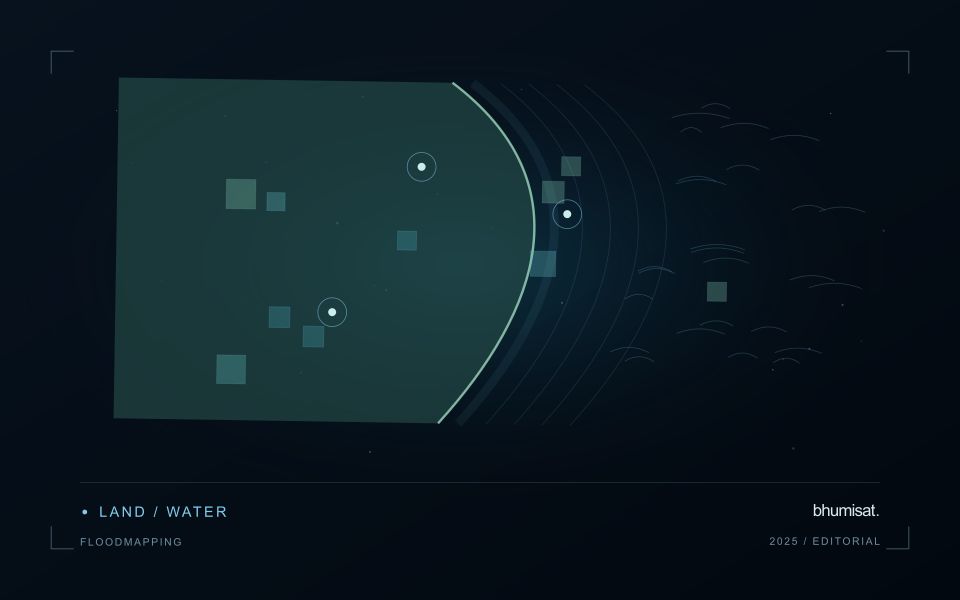
Mapping flood extent with optical and radar imagery around aquaculture pond clusters — an uncertainty guide
Explore mapping flood extent with optical and radar imagery around aquaculture pond clusters. Practical guidance for uncertainty and defensible observations.
Archive ·