Remote observations show patterns, while practical decisions depend on explaining what those patterns could mean. Interpretation therefore requires more than locating a high or low value on a map. A useful analysis considers the timing of the observation, the physical processes that influence the measurement, and the information available from complementary sources. This perspective separates an observed signal from a proposed explanation and from an action recommended to a user. Keeping those stages distinct makes it easier to investigate alternative causes, communicate ambiguity, and choose a proportionate next step.
This working guide considers reading uncertainty in remote sensing products in tea plantation sections. The immediate decision is to coordinate inspections with plucking cycles. Useful reference evidence includes plucking dates, pruning history and section-level canopy notes. The case is an illustrative planning context, with assumptions to check against the actual sensor, landscape and project requirements.
Identify what the uncertainty describes
A satellite product is the result of a measurement chain, rather than a direct copy of conditions on the ground. Detector noise, calibration, atmospheric correction, geolocation and retrieval assumptions can all affect the final value. Their importance changes with the target. A small location error may matter greatly beside a narrow river, while an imperfect aerosol correction may dominate a water reflectance estimate.
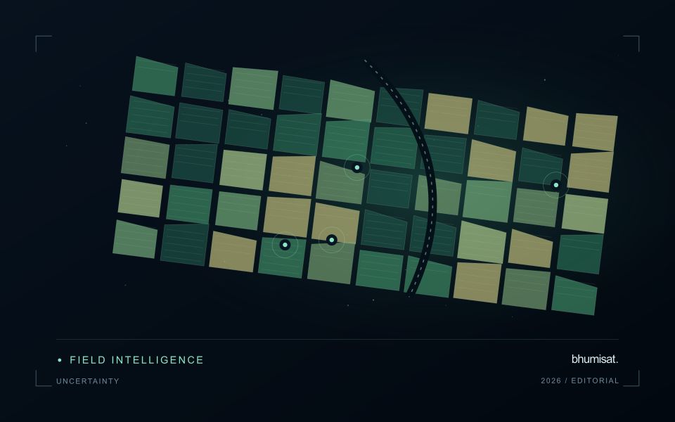
Start by reading the variable definition, units, spatial support and quality documentation. An uncertainty layer may describe an estimated standard deviation, a confidence interval, disagreement among models or another quantity entirely. These measures are not interchangeable. A model's class probability also does not automatically represent a calibrated probability that its label is correct. Check how the quantity was obtained and whether it has been evaluated against independent observations.
Carry uncertainty into the decision
Separate systematic differences from random variation. Averaging many observations can reduce independent random noise, but it does not remove a shared calibration bias. Nearby pixels and repeated observations may share errors, so treating every value as independent can produce confidence intervals that are too narrow. When comparing dates, consider whether the same processing method, sensor characteristics and environmental conditions apply.
Quality flags identify conditions that deserve screening or special treatment. They may indicate clouds, saturation, poor retrieval geometry or inputs outside a method's tested range. Preserve the original flags and record the filtering rule. A strict mask can improve reliability while leaving a sample that overrepresents clear weather or easier terrain. Report missing coverage alongside the measurements that remain.
For a practical assessment, perturb influential inputs within defensible ranges and examine how the result changes. Compare alternative valid processing choices, stratify errors by landscape or season and use independent reference data. Classification summaries should include class specific errors rather than relying on one overall accuracy figure. For continuous estimates, examine bias and the distribution of residuals as well as an aggregate error statistic. A useful final product states the tested domain, describes meaningful limitations and shows whether the uncertainty is small enough for the intended decision.
The setting: Tea plantation sections
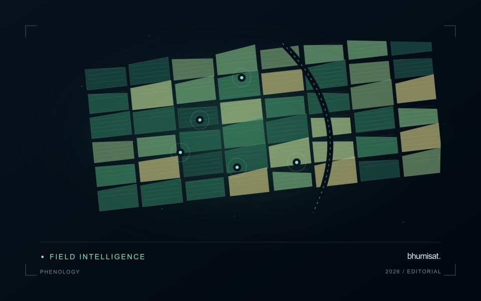
Tea plantations are divided into management sections whose appearance can change with plucking, pruning, replanting and seasonal growth. A recently worked section may differ sharply from an adjacent section even when both are being managed as intended. Connect the image record to the operation calendar before interpreting these differences. Section boundaries, access roads and the location of shade or shelter vegetation are important because they define which surfaces contribute to each summary.
A time series is most informative when comparisons account for these management events. Consider whether the intended service is tracking recovery after pruning, supporting inspections or studying broader seasonal vegetation patterns. Each objective calls for a different reference timeline. On sloping land, examine illumination and shadow effects as well as cloud quality. An apparent change should remain traceable to the acquisition and the area that contributed valid observations.
Field records should identify the section, tea growth condition, recent operations and any measurements used to investigate a flagged pattern. If production is the target, the relationship with harvested leaf records must be evaluated for the relevant management system and period. A general canopy index cannot establish leaf quality or yield by itself. The useful initial product is often a transparent comparison that helps estate staff decide where a closer assessment would add value.
Translate the decision into observation requirements
Start with the decision that the information is intended to support. Describe the geographic unit, the time available for acting, and the consequence of an incorrect interpretation. A requirement such as detecting an unusual pattern across management blocks is different from identifying its cause. Keeping that distinction explicit helps a team select measurements that are relevant to the application and prevents later evaluation from drifting towards whatever result happens to be easiest to demonstrate.
Build a compact requirements matrix linking each decision to the evidence needed, the proposed observation source, and an acceptance condition. Include geographic accuracy, temporal relevance, quality screening, and the context required for interpretation. The matrix should also identify the evidence used to justify each requirement. An engineering preference or a convenient data source can inform a study, but neither should silently replace a documented information need.
Review the matrix with the people who will use the result. Ask how their response would change when information is delayed, incomplete, or uncertain. Record unresolved requirements as questions for a pilot rather than converting them into confident specifications. This produces a practical framework for comparing technical options, designing tests, and explaining why an observation is useful to the intended workflow.
Keep an auditable review record
A review record should explain how a result moved from an analytical output to an accepted interpretation or operational decision. Preserve the product identifier, the evidence considered, the reviewer role, and the outcome of the review. A short, consistent record is often more useful than an extensive free-text note that cannot be compared between cases. The objective is to make important decisions traceable without turning routine review into unnecessary administrative work.
Separate observations from conclusions within the record. Describe the evidence visible to the reviewer, the alternative explanations considered where relevant, and the reason for accepting, qualifying, or rejecting the result. If a correction is required, identify what should change and how the revised product relates to the earlier version. Keep unresolved questions visible so that they can be addressed by another observation or by the person responsible for the next action.
Use the accumulated record to improve the workflow. Recurring review reasons can reveal unclear requirements, missing contextual information, unstable processing steps, or an evaluation gap. Examine whether similar cases receive similar decisions across reviewers and over time. Preserve the relationship between feedback and subsequent revisions so that improvements can be assessed against the evidence that motivated them. An auditable record supports learning, accountability, and consistent delivery while allowing the technical process to evolve.
Bring the evidence back to the decision
A strong interpretation states what was observed, which explanations remain plausible, and what additional evidence would help distinguish them. Avoid presenting a convenient label as a confirmed cause when the measurements support only a broader pattern. Connect the proposed next step to the significance of the decision and the confidence available. This creates an interpretation that a field team, analyst, or project partner can examine, challenge, and improve as further observations become available.
Sources & further reading
Explore the bhumisat spacecraft concept and our vision towards 2030, or return to the journal.