Every observation and interpretation contains uncertainty, but the sources and consequences of that uncertainty differ between applications. Some arise from acquisition conditions, others from reference measurements, processing choices, or the transfer of a model to a new setting. This perspective examines how those sources affect the decision a user is considering. It encourages teams to describe uncertainty in a form that can influence action, rather than adding a generic qualification at the end of a report. The objective is to support proportionate decisions while keeping the limits of the available evidence understandable.
This working guide considers reading uncertainty in remote sensing products in irrigated rice systems. The immediate decision is to identify fields needing irrigation review. Useful reference evidence includes field stage, inundation records and irrigation observations. The case is an illustrative planning context, with assumptions to check against the actual sensor, landscape and project requirements.
Identify what the uncertainty describes
A satellite product is the result of a measurement chain, rather than a direct copy of conditions on the ground. Detector noise, calibration, atmospheric correction, geolocation and retrieval assumptions can all affect the final value. Their importance changes with the target. A small location error may matter greatly beside a narrow river, while an imperfect aerosol correction may dominate a water reflectance estimate.
Start by reading the variable definition, units, spatial support and quality documentation. An uncertainty layer may describe an estimated standard deviation, a confidence interval, disagreement among models or another quantity entirely. These measures are not interchangeable. A model's class probability also does not automatically represent a calibrated probability that its label is correct. Check how the quantity was obtained and whether it has been evaluated against independent observations.
Carry uncertainty into the decision
Separate systematic differences from random variation. Averaging many observations can reduce independent random noise, but it does not remove a shared calibration bias. Nearby pixels and repeated observations may share errors, so treating every value as independent can produce confidence intervals that are too narrow. When comparing dates, consider whether the same processing method, sensor characteristics and environmental conditions apply.
Quality flags identify conditions that deserve screening or special treatment. They may indicate clouds, saturation, poor retrieval geometry or inputs outside a method's tested range. Preserve the original flags and record the filtering rule. A strict mask can improve reliability while leaving a sample that overrepresents clear weather or easier terrain. Report missing coverage alongside the measurements that remain.
For a practical assessment, perturb influential inputs within defensible ranges and examine how the result changes. Compare alternative valid processing choices, stratify errors by landscape or season and use independent reference data. Classification summaries should include class specific errors rather than relying on one overall accuracy figure. For continuous estimates, examine bias and the distribution of residuals as well as an aggregate error statistic. A useful final product states the tested domain, describes meaningful limitations and shows whether the uncertainty is small enough for the intended decision.
The setting: Irrigated rice systems
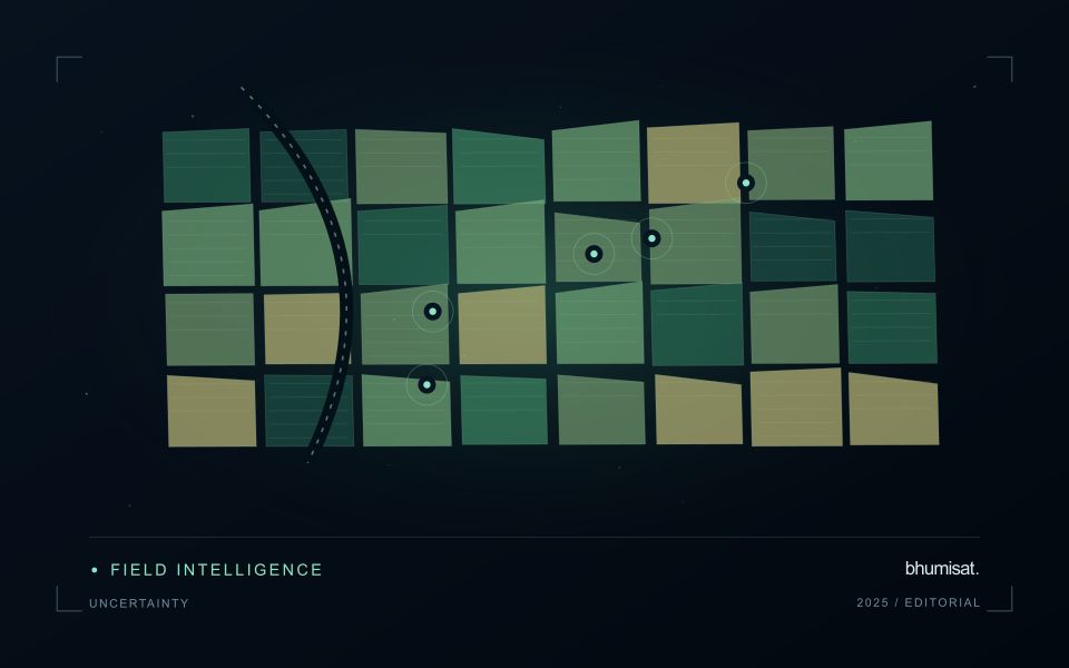
An irrigated rice landscape changes from preparation and inundation to crop establishment, canopy development and harvest. Water and vegetation contribute differently to the observed signal at these stages. A field should therefore be interpreted with its planting calendar and irrigation status, not only its latest colour on a map. Accurate paddy boundaries are valuable because bunds, channels, neighbouring fields and settlements can occupy a substantial share of a small observation unit.
Organise the analysis around field-level sequences rather than a mosaic assembled from unrelated dates. In cloudy periods, identify gaps explicitly and consider which complementary observations are suitable for the question. Optical and radar measurements describe different physical properties, so their agreement or disagreement needs interpretation. An observation consistent with inundation is not by itself a complete account of irrigation delivery, field depth or the cause of a management problem.
A practical field visit records crop stage, water condition, planting method and the time of inspection. Irrigation managers may need a list of fields with unusual timing, while crop specialists may need areas of uneven development. These outputs require different validation records. Evaluate whether the information arrives early enough to support a decision, and retain observations of fields that were not flagged to understand missed events as well as false alerts.
Deliver quality flags that users can interpret
Quality information should describe the condition of an observation in terms that remain useful through the workflow. A single valid or invalid label may be sufficient for some calculations, but operational users often need to know why an observation was qualified. Distinguish acquisition limitations, processing failures, uncertain reference matches, and conditions that make interpretation ambiguous. These categories point towards different responses and should not be merged without a clear purpose.
Define a small, documented set of flags with stable meanings. Record whether a flag applies to a complete scene, a geographic unit, an individual measurement, or a derived result. A unit containing a mixture of qualified and unqualified observations may also require a coverage measure. Include the rule used to combine flags when summarising data so that a favourable average does not conceal a substantial fraction of unusable input.
Test the flags with the people receiving the product. Ask what they would do differently for each state and whether the terminology supports that choice. Keep the original flags available even if the interface presents a simpler summary. When flag definitions change, version the rules and review their effects on historical comparisons. Useful quality communication makes the condition of the evidence visible at the moment when a user decides how much confidence to place in the result.
Maintain the geographic units of analysis
Many observation services summarise measurements within a field, management block, catchment, forest unit, or other mapped boundary. The meaning of that summary depends on whether the boundary accurately represents the unit being discussed. Start with a clear source for the geometry and record its date, coordinate reference, and intended use. A boundary drawn for visual orientation may require additional checking before it becomes a measurement unit.
Inspect overlaps, gaps, narrow fragments, and features that may have changed since mapping. A geometrically valid polygon can still describe an outdated operational unit. Ask the responsible team how divisions, mergers, new infrastructure, and management changes are recorded. Where pixels or reference measurements cross a boundary, define how they are assigned or excluded so that results remain comparable between analysts and processing runs.
Version the boundaries alongside the observations. If a unit changes, preserve a relationship between the previous and revised geometry rather than replacing the history without explanation. Comparisons through time should identify whether they use a constant spatial unit or the operational units valid at each date. This makes it easier to distinguish a change in the measured surface from a change introduced by the geography used to summarise it.
Bring the evidence back to the decision
Useful uncertainty communication identifies the limitation, explains how it could affect the result, and connects it to a practical response. Some decisions can proceed with a qualified estimate; others require another observation or an independent check. Preserve uncertainty information through processing and delivery so that it is available at the point of use. This makes the analysis more accountable and gives the team a clearer basis for deciding which additional evidence would most improve the outcome.
Sources & further reading
Explore the bhumisat spacecraft concept and our vision towards 2030, or return to the journal.