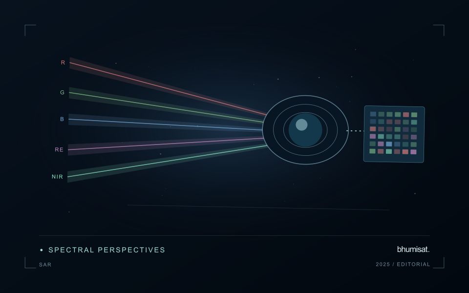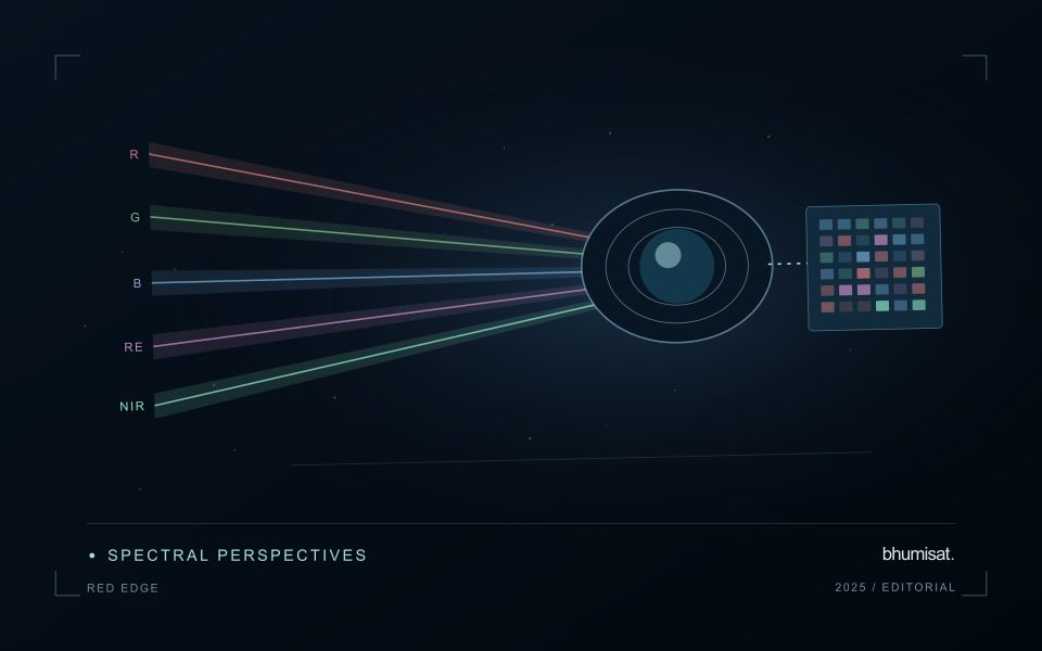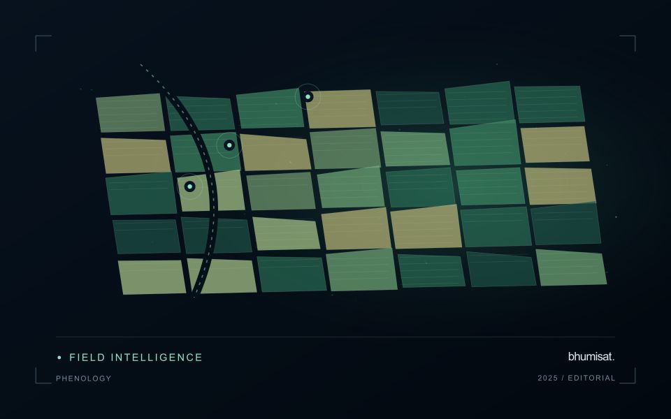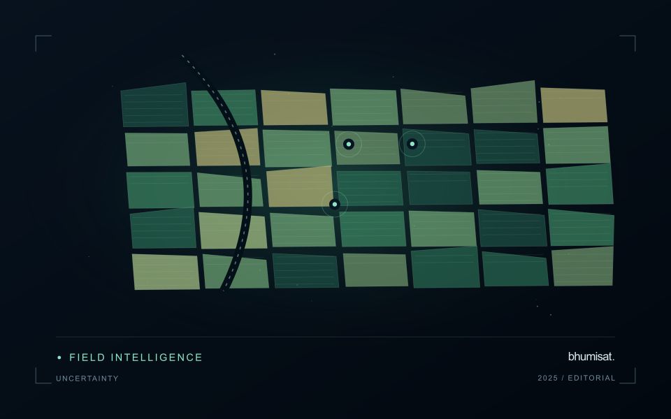
Comparisons through time are valuable only when the observations are sufficiently comparable for the question being asked. A difference between dates can reflect real change, a normal stage in a seasonal cycle, or a difference in how the surface was observed. This perspective examines the reference period, the timing of acquisitions, and the contextual records needed to interpret a sequence. It encourages the use of appropriate baselines rather than treating every previous observation as an equivalent benchmark. The objective is to identify changes that remain meaningful after normal variation and measurement conditions are considered.
This working guide considers reading uncertainty in remote sensing products in cotton production fields. The immediate decision is to prioritise cotton field scouting. Useful reference evidence includes planting dates, growth stage and canopy observations. The case is an illustrative planning context, with assumptions to check against the actual sensor, landscape and project requirements.
The setting: Cotton production fields
Cotton fields can differ in planting time, variety, stand density and management, producing different image trajectories through the season. A monitoring programme should organise those differences before deciding which fields are unusual. Early observations often combine crop and soil, while later management and crop-stage changes can alter the canopy in ways that require contextual interpretation. A reliable field calendar is therefore as important as the choice of a vegetation measure.
Compare observations that meet consistent quality requirements and inspect whether a mapped pattern persists across suitable dates. Field boundaries, tracks, wet areas and neighbouring crops can affect irregular management units. Record the valid area contributing to a summary, especially when clouds or shadows leave only part of a field visible. If several image products are combined, evaluate their alignment and measurement consistency before treating a difference as evidence of crop change.
A scouting visit should collect observations that address the intended decision, such as uneven development or a need for agronomic review. Record crop stage, recent operations and the sampling area consistently. An optical anomaly is not a direct measurement of fibre characteristics or a confirmed diagnosis of a particular problem. Models for commercial outcomes require corresponding reference data and independent evaluation, while inspection products can be assessed through their usefulness in directing representative and timely field visits.
Identify what the uncertainty describes
A satellite product is the result of a measurement chain, rather than a direct copy of conditions on the ground. Detector noise, calibration, atmospheric correction, geolocation and retrieval assumptions can all affect the final value. Their importance changes with the target. A small location error may matter greatly beside a narrow river, while an imperfect aerosol correction may dominate a water reflectance estimate.
Start by reading the variable definition, units, spatial support and quality documentation. An uncertainty layer may describe an estimated standard deviation, a confidence interval, disagreement among models or another quantity entirely. These measures are not interchangeable. A model's class probability also does not automatically represent a calibrated probability that its label is correct. Check how the quantity was obtained and whether it has been evaluated against independent observations.
Carry uncertainty into the decision
Separate systematic differences from random variation. Averaging many observations can reduce independent random noise, but it does not remove a shared calibration bias. Nearby pixels and repeated observations may share errors, so treating every value as independent can produce confidence intervals that are too narrow. When comparing dates, consider whether the same processing method, sensor characteristics and environmental conditions apply.
Quality flags identify conditions that deserve screening or special treatment. They may indicate clouds, saturation, poor retrieval geometry or inputs outside a method's tested range. Preserve the original flags and record the filtering rule. A strict mask can improve reliability while leaving a sample that overrepresents clear weather or easier terrain. Report missing coverage alongside the measurements that remain.
For a practical assessment, perturb influential inputs within defensible ranges and examine how the result changes. Compare alternative valid processing choices, stratify errors by landscape or season and use independent reference data. Classification summaries should include class specific errors rather than relying on one overall accuracy figure. For continuous estimates, examine bias and the distribution of residuals as well as an aggregate error statistic. A useful final product states the tested domain, describes meaningful limitations and shows whether the uncertainty is small enough for the intended decision.
Prioritise alerts using evidence and consequence
An alert is a request for attention, so its design should consider both the evidence available and the cost of responding. Begin by distinguishing a measured change, a proposed interpretation, and the action expected from the recipient. A large numerical difference is not automatically the most urgent case. The significance of the location, the age of the observation, the confidence in the interpretation, and the consequences of delay can all influence priority.
Create a review queue with enough context to support consistent decisions. Useful information can include the supporting dates, quality qualifications, previous observations, geographic unit, and the reason the case entered the queue. Define when an alert can be closed, escalated, or held for another observation. A documented rule is easier to improve than an informal practice that depends entirely on the memory of the operator reviewing the result.
Collect feedback from inspections and operational responses. Record alerts that led to a useful finding, alerts that required no action, and important conditions that the system failed to flag. Review these outcomes across different settings rather than relying only on a total count of alerts. The objective is a queue that directs limited attention towards meaningful decisions, while generating evidence for adjusting thresholds, improving context, and reducing repeated sources of unnecessary work.
Check spatial alignment before comparison
A comparison between images, channels, maps, or field measurements assumes that the observations refer to the same locations at a suitable level of precision. Small alignment errors can become especially important near boundaries or narrow features. Before interpreting differences, inspect whether identifiable, stable features agree between the sources. A common coordinate reference is necessary for many workflows, but it does not by itself demonstrate accurate alignment.
Use control features that are appropriate for the observation scale and remain stable across the comparison period. Evaluate alignment in more than one part of the area, because a single location cannot reveal spatially varying distortion. Record the method used to estimate any correction and retain independent features for checking the corrected result. Where surfaces have genuinely changed, avoid using those changes as evidence of an alignment error.
Propagate the implications of remaining misalignment into the analysis. A workflow may exclude boundary pixels, summarise at a broader scale, or qualify interpretations for small features. The choice should follow the application rather than a preference for visually smooth output. Preserve both the original and corrected geographic references, and document resampling decisions so that future users can understand how measurements were moved onto a common spatial framework.
Bring the evidence back to the decision
A useful comparison preserves the dates, quality conditions, and contextual assumptions behind its baseline. Review unusual results against the actual observation sequence rather than relying entirely on a summary statistic. Where seasonal timing is important, describe how comparable stages were identified. The resulting analysis should help users distinguish an informative change from an expected cycle or an observation artefact, while making gaps and remaining uncertainty visible enough to guide further investigation.
Sources & further reading
Explore the bhumisat spacecraft concept and our vision towards 2030, or return to the journal.