A convincing image can still contain measurements that are unsuitable for a particular task. Quality control asks whether the inputs, transformations, and outputs meet the requirements of the intended application. This perspective follows evidence through the workflow, from acquisition metadata and reference observations to the final interpretation. It encourages teams to define acceptance conditions before seeing the result, rather than adjusting them to favour a preferred conclusion. The purpose is a repeatable way to distinguish usable observations, observations requiring qualification, and observations that should be excluded from a decision.
This working guide considers synthetic aperture radar for land monitoring across river floodplain areas. The immediate decision is to locate areas needing flood-impact review. Useful reference evidence includes dated water observations and representative field impact records. The case is an illustrative planning context, with assumptions to check against the actual sensor, landscape and project requirements.
Radar measures a different interaction with the landscape
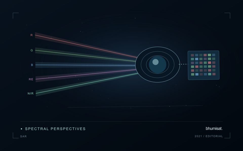
Synthetic aperture radar is an active observing technique: the instrument transmits microwave energy and measures the returned signal. Its image therefore represents a different interaction with the landscape from reflected visible or near-infrared sunlight. Radar can provide observations in conditions that limit optical imagery, but its response still depends on the instrument and scene. Backscatter should not be read as a universal moisture or vegetation score. Surface structure, water, roughness, geometry and the arrangement of scattering elements can contribute to the measured return.
Wavelength and polarisation influence which interactions are emphasised. The same agricultural field can change its radar response after rainfall, tillage, crop development or harvest, and several of those processes may occur together. The viewing direction and incidence angle also matter. A time series assembled without controlling these factors can contain differences that look like an environmental trend. Retain orbit, geometry, polarisation and processing metadata, and choose comparisons that are appropriate for the physical interpretation the application is intended to support.
Compare like with like before drawing conclusions
Radar images commonly contain speckle, a granular appearance associated with coherent measurement. Filtering or aggregation can make patterns easier to interpret, but it also changes spatial detail and statistical behaviour. Select processing around the reporting scale and evaluate its effects near boundaries. Terrain can create additional geometric challenges, including compressed or hidden areas in the radar view. A map should identify where the observation is difficult to interpret rather than filling every location with an equally confident result.
Complementary evidence helps distinguish plausible explanations for a radar change. Combine suitable optical observations, rainfall or management records and field measurements when they address the actual question. Validate a proposed model on independent locations and conditions, including cases where the expected relationship fails. A dark water surface in one setting does not establish a universal flood rule, because rough water, vegetation and built structures can produce different responses. Radar becomes valuable when its particular measurement physics is incorporated into a carefully defined monitoring workflow, with geometry and uncertainty remaining visible to the analyst and user.
The setting: River floodplain areas
A floodplain contains channels, low-lying fields, settlements, wetlands and surfaces that may be wet or dry under ordinary conditions. A flood-monitoring workflow should distinguish a new observation of water from the baseline distribution expected in that setting. Define the event period and the intended output, such as visible inundation extent or locations for field impact assessment. These products do not automatically establish water depth, damage or the cause of a particular local condition.
Cloud cover can limit optical observations during an event, while vegetation and structures may obscure water at the surface. Other observation types can contribute complementary evidence but require interpretation appropriate to their measurement physics. Compare suitable baseline and event acquisitions, check alignment and preserve the actual observation times. A map assembled from different dates should make those differences clear rather than implying that the whole floodplain was observed simultaneously.
Field validation should record when water or impacts were observed, the location and the area represented by each report. Conditions can change between an image acquisition and a visit, so apparent disagreement may reflect timing rather than a simple mapping error. Sample different land-cover settings and include places outside the mapped extent. A useful product communicates the evidence for observed inundation separately from estimates of damage or operational consequences that require further measurements.
Design an evaluation that reflects deployment
A model evaluation should resemble the conditions in which the model will be used. Start by identifying which relationships the development data share: nearby locations, repeated observations of the same unit, common collection teams, or measurements from a single period. These relationships can make records less independent than they appear. An evaluation that ignores them may test the ability to recognise familiar conditions rather than the ability to operate in a new setting.
Choose a split strategy that matches the intended transfer. Holding out locations, seasons, operational units, or acquisition conditions can answer different questions. Document which question each split is designed to address, and keep the held-out evidence separate while selecting features and tuning the method. Repeatedly inspecting the same evaluation set to improve a model gradually makes that set part of development, even if it retains its original label.
Report results at a scale that is meaningful to the user. A strong average can hide poor performance for important subgroups or unusual conditions. Examine error patterns and retain examples of both successful and unsuccessful predictions. Where the evidence covers only a limited range of conditions, describe that range explicitly. The evaluation then becomes a practical guide to suitable use, further testing, and the collection of additional reference observations.
Check spatial alignment before comparison
A comparison between images, channels, maps, or field measurements assumes that the observations refer to the same locations at a suitable level of precision. Small alignment errors can become especially important near boundaries or narrow features. Before interpreting differences, inspect whether identifiable, stable features agree between the sources. A common coordinate reference is necessary for many workflows, but it does not by itself demonstrate accurate alignment.
Use control features that are appropriate for the observation scale and remain stable across the comparison period. Evaluate alignment in more than one part of the area, because a single location cannot reveal spatially varying distortion. Record the method used to estimate any correction and retain independent features for checking the corrected result. Where surfaces have genuinely changed, avoid using those changes as evidence of an alignment error.
Propagate the implications of remaining misalignment into the analysis. A workflow may exclude boundary pixels, summarise at a broader scale, or qualify interpretations for small features. The choice should follow the application rather than a preference for visually smooth output. Preserve both the original and corrected geographic references, and document resampling decisions so that future users can understand how measurements were moved onto a common spatial framework.
Bring the evidence back to the decision
Quality control is most useful when its results travel with the information being delivered. Preserve the reasons for accepting or rejecting an observation, and expose limitations that could change the user's interpretation. Review recurring failures as clues about the design of the workflow. A clear quality record supports consistent comparisons between operators and processing versions, while helping the team decide whether a problem originates in acquisition, preparation, interpretation, or the underlying observation requirements.
Sources & further reading
Explore the bhumisat spacecraft concept and our vision towards 2030, or return to the journal.