A method that produces a plausible result has not automatically demonstrated that it works for its intended users. Validation requires a defined question, suitable reference evidence, and an evaluation design that reflects how the method will be used. This perspective examines which observations should be compared, how they should be sampled, and which errors matter in practice. It also considers the difference between evidence used to develop a method and evidence reserved for evaluating it. The objective is a test that can reveal weaknesses as well as confirm useful performance.
This working guide considers synthetic aperture radar for land monitoring across forest restoration sites. The immediate decision is to track areas requiring restoration follow-up. Useful reference evidence includes planting records, survival assessments and vegetation composition. The case is an illustrative planning context, with assumptions to check against the actual sensor, landscape and project requirements.
The setting: Forest restoration sites
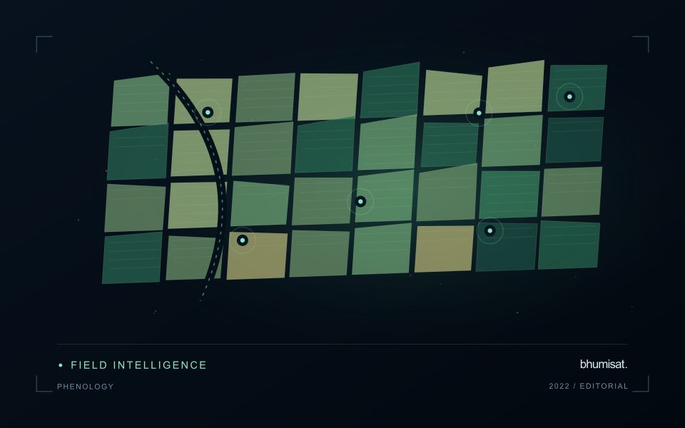
A forest restoration site can contain planted seedlings, natural regrowth, grasses, shrubs and remaining mature trees. An increase in remotely observed vegetation does not by itself establish that the intended restoration objectives have been achieved. The monitoring plan should identify which outcomes matter, such as vegetation establishment, survival of planted trees or recovery of a particular structure. Each outcome needs reference observations that distinguish the desired change from other ways a site can become greener.
Maintain the boundaries of treatment areas and record planting, maintenance and disturbance events. Compare image sequences at suitable seasonal stages and examine how exposed soil or rapidly growing ground vegetation contributes to the signal. Small planting patches may be difficult to separate from their surroundings at satellite scale. A broader observation can still be useful, provided its interpretation remains consistent with the surfaces and spatial support actually measured.
Field assessments should document survival, composition and structural development according to the restoration objective. Include locations with apparently favourable image responses as well as areas that look unusual, since both can reveal important errors in interpretation. A satellite-derived pattern may help organise follow-up work without replacing field evidence of ecological recovery. Reports should explain which changes were observed remotely, which outcomes were confirmed on the ground and which questions remain unresolved at the current monitoring scale.
Radar measures a different interaction with the landscape
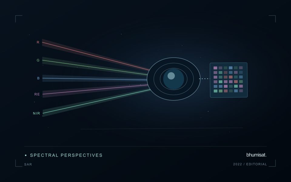
Synthetic aperture radar is an active observing technique: the instrument transmits microwave energy and measures the returned signal. Its image therefore represents a different interaction with the landscape from reflected visible or near-infrared sunlight. Radar can provide observations in conditions that limit optical imagery, but its response still depends on the instrument and scene. Backscatter should not be read as a universal moisture or vegetation score. Surface structure, water, roughness, geometry and the arrangement of scattering elements can contribute to the measured return.
Wavelength and polarisation influence which interactions are emphasised. The same agricultural field can change its radar response after rainfall, tillage, crop development or harvest, and several of those processes may occur together. The viewing direction and incidence angle also matter. A time series assembled without controlling these factors can contain differences that look like an environmental trend. Retain orbit, geometry, polarisation and processing metadata, and choose comparisons that are appropriate for the physical interpretation the application is intended to support.
Compare like with like before drawing conclusions
Radar images commonly contain speckle, a granular appearance associated with coherent measurement. Filtering or aggregation can make patterns easier to interpret, but it also changes spatial detail and statistical behaviour. Select processing around the reporting scale and evaluate its effects near boundaries. Terrain can create additional geometric challenges, including compressed or hidden areas in the radar view. A map should identify where the observation is difficult to interpret rather than filling every location with an equally confident result.
Complementary evidence helps distinguish plausible explanations for a radar change. Combine suitable optical observations, rainfall or management records and field measurements when they address the actual question. Validate a proposed model on independent locations and conditions, including cases where the expected relationship fails. A dark water surface in one setting does not establish a universal flood rule, because rough water, vegetation and built structures can produce different responses. Radar becomes valuable when its particular measurement physics is incorporated into a carefully defined monitoring workflow, with geometry and uncertainty remaining visible to the analyst and user.
Stratify forest reference observations
Forest landscapes can contain substantial variation in structure, composition, management history, and observation conditions. A reference plan should identify the forms of variation that matter to the intended analysis. Start with a clear target population and use available information to define meaningful strata. The objective is to represent the conditions in which the method will be used, rather than collecting only the most accessible or visually uniform examples.
Match the reference unit to the scale of the remote measurement. A field plot, an individual tree observation, and an image pixel can describe different portions of the canopy and ground. Record plot geometry, position, measurement time, and the procedures used to handle boundaries or incomplete coverage. Where geographic uncertainty is important relative to plot size, evaluate its potential effect before treating a difference between sources as a failure of the analytical method.
Keep the estimation and evaluation questions distinct. Reference measurements used to fit a relationship do not automatically provide an independent test of that relationship. Consider holding out suitable locations or forest conditions when evaluating transfer. Report the range of structure and conditions represented by the evidence, together with important gaps. A stratified reference programme becomes useful when it supports a clear interpretation of where a result is well supported and where further observations are required.
Check spatial alignment before comparison
A comparison between images, channels, maps, or field measurements assumes that the observations refer to the same locations at a suitable level of precision. Small alignment errors can become especially important near boundaries or narrow features. Before interpreting differences, inspect whether identifiable, stable features agree between the sources. A common coordinate reference is necessary for many workflows, but it does not by itself demonstrate accurate alignment.
Use control features that are appropriate for the observation scale and remain stable across the comparison period. Evaluate alignment in more than one part of the area, because a single location cannot reveal spatially varying distortion. Record the method used to estimate any correction and retain independent features for checking the corrected result. Where surfaces have genuinely changed, avoid using those changes as evidence of an alignment error.
Propagate the implications of remaining misalignment into the analysis. A workflow may exclude boundary pixels, summarise at a broader scale, or qualify interpretations for small features. The choice should follow the application rather than a preference for visually smooth output. Preserve both the original and corrected geographic references, and document resampling decisions so that future users can understand how measurements were moved onto a common spatial framework.
Bring the evidence back to the decision
The validation record should explain the population represented by the test, the reference observations used, and the limitations of the comparison. Report meaningful errors alongside useful successes, and retain examples that challenge the method. Treat wider deployment as a new opportunity to evaluate transfer across relevant conditions. A well-designed validation programme gives users a defensible basis for deciding where the method is useful, where additional evidence is needed, and where another approach may be appropriate.
Sources & further reading
Explore the bhumisat spacecraft concept and our vision towards 2030, or return to the journal.