Every observation and interpretation contains uncertainty, but the sources and consequences of that uncertainty differ between applications. Some arise from acquisition conditions, others from reference measurements, processing choices, or the transfer of a model to a new setting. This perspective examines how those sources affect the decision a user is considering. It encourages teams to describe uncertainty in a form that can influence action, rather than adding a generic qualification at the end of a report. The objective is to support proportionate decisions while keeping the limits of the available evidence understandable.
This working guide considers ndvi crop monitoring across wheat growing areas. The immediate decision is to review fields with unusual seasonal timing. Useful reference evidence includes sowing dates, crop stage and representative field observations. The case is an illustrative planning context, with assumptions to check against the actual sensor, landscape and project requirements.
What the index can describe
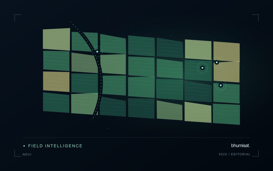
NDVI expresses the contrast between near-infrared and red reflectance as their difference divided by their sum. The result is a compact description of spectral behaviour, rather than a direct measurement of crop health. A growing canopy often changes both of these measurements, but soil exposure, standing water, illumination and the mixture of materials inside a pixel can also affect the index. An operational interpretation therefore starts with the crop, its development stage and the surface actually represented by the pixels.
A useful monitoring baseline describes comparable conditions. Comparing a newly planted field with an older field can produce a strong difference that simply reflects age. Comparing the same field before and after harvest can be useful if the management record confirms the event. The analytical question should be stated before choosing an alert threshold: detecting an unexpected departure from normal development is different from mapping current canopy cover. Neither task automatically establishes the cause of a low value or the action a grower should take.
Build a comparison that can be checked
Before computing field statistics, screen unsuitable observations and retain their quality information. The processing record should identify the imagery source, acquisition date, reflectance product, band mapping and mask rules. Report how much valid area remains inside each field. A median calculated from a small cloud-free corner should not be presented as if it represented the entire management block. Keeping a distribution or selected percentiles alongside the central value can reveal variation that a single coloured label would hide from the user.
Validation should connect an apparent change with an independent observation at a relevant time. A field team can record canopy condition, crop stage, recent operations and any visible disturbance, including observations that contradict the alert. Revisit both flagged and apparently normal areas to evaluate missed changes and false alarms. Once a relationship has been demonstrated, monitor whether it remains stable across seasons and management systems. NDVI is most useful when it helps organise a defensible comparison and directs attention to places where additional information is needed.
The setting: Wheat growing areas
A wheat monitoring programme should begin with a clear description of its production setting. Sowing windows, variety choices, water supply and management practices can vary across a region. Fields at different developmental stages should not be judged against a single image threshold as though they followed one uniform calendar. A useful field register combines boundaries with sowing information and a record of the operations that can influence the observed canopy through the season.
Repeated observations can help describe the timing and spatial consistency of crop development. Inspect the quality of each acquisition and distinguish persistent patterns from a single questionable measurement. Field margins, tracks, bare patches and neighbouring crops can affect irregular or narrow units. Where comparisons involve different image products, make sure the processing and spatial support are suitable before interpreting a numerical difference as a crop response.
The field investigation should follow a defined question, such as whether a section has uneven establishment or a different development stage from its peers. Record the evidence used to resolve that question, including places where the image alert did not correspond to an actionable condition. If a model estimates harvest outcomes, evaluate it against appropriate production records and separate training from assessment. The reporting system should communicate uncertainty alongside the spatial pattern that prompted attention.
Maintain the geographic units of analysis
Many observation services summarise measurements within a field, management block, catchment, forest unit, or other mapped boundary. The meaning of that summary depends on whether the boundary accurately represents the unit being discussed. Start with a clear source for the geometry and record its date, coordinate reference, and intended use. A boundary drawn for visual orientation may require additional checking before it becomes a measurement unit.
Inspect overlaps, gaps, narrow fragments, and features that may have changed since mapping. A geometrically valid polygon can still describe an outdated operational unit. Ask the responsible team how divisions, mergers, new infrastructure, and management changes are recorded. Where pixels or reference measurements cross a boundary, define how they are assigned or excluded so that results remain comparable between analysts and processing runs.
Version the boundaries alongside the observations. If a unit changes, preserve a relationship between the previous and revised geometry rather than replacing the history without explanation. Comparisons through time should identify whether they use a constant spatial unit or the operational units valid at each date. This makes it easier to distinguish a change in the measured surface from a change introduced by the geography used to summarise it.
Use observation labels with consistent meanings
A reference label should describe an observation that another person could recognise or reproduce. Broad terms such as good, damaged, or unusual can conceal substantial differences between collection teams. Begin by defining the feature or condition being recorded, the observation unit, and the evidence needed to assign a label. Where possible, distinguish a direct measurement from an interpretation made by the observer.
Provide a short collection guide with examples, boundary cases, and a way to record uncertainty. Train observers using shared cases before relying on independently collected labels. If two observers disagree, preserve the disagreement long enough to understand its cause. It may reveal an unclear definition, a genuinely ambiguous condition, a difference in observation scale, or a problem in matching the reference record to the remote measurement.
Retain the context that makes the label interpretable. Location, time, collection method, observer role, and relevant surface conditions can be essential for later review. Changes to the label scheme should be documented and related to earlier versions where a defensible correspondence exists. Consistent labels do not eliminate uncertainty, but they make it possible to investigate disagreement, evaluate analytical methods, and identify where better definitions or additional measurements would improve the evidence.
Bring the evidence back to the decision
Useful uncertainty communication identifies the limitation, explains how it could affect the result, and connects it to a practical response. Some decisions can proceed with a qualified estimate; others require another observation or an independent check. Preserve uncertainty information through processing and delivery so that it is available at the point of use. This makes the analysis more accountable and gives the team a clearer basis for deciding which additional evidence would most improve the outcome.
Sources & further reading
Explore the bhumisat spacecraft concept and our vision towards 2030, or return to the journal.