Comparisons through time are valuable only when the observations are sufficiently comparable for the question being asked. A difference between dates can reflect real change, a normal stage in a seasonal cycle, or a difference in how the surface was observed. This perspective examines the reference period, the timing of acquisitions, and the contextual records needed to interpret a sequence. It encourages the use of appropriate baselines rather than treating every previous observation as an equivalent benchmark. The objective is to identify changes that remain meaningful after normal variation and measurement conditions are considered.
This working guide considers ndvi crop monitoring in tea plantation sections. The immediate decision is to coordinate inspections with plucking cycles. Useful reference evidence includes plucking dates, pruning history and section-level canopy notes. The case is an illustrative planning context, with assumptions to check against the actual sensor, landscape and project requirements.
What the index can describe
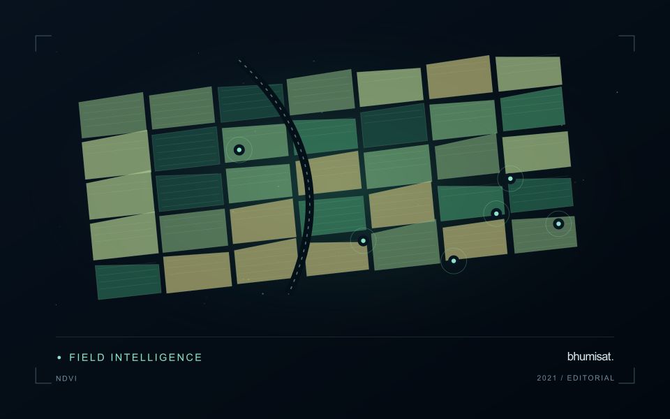
NDVI expresses the contrast between near-infrared and red reflectance as their difference divided by their sum. The result is a compact description of spectral behaviour, rather than a direct measurement of crop health. A growing canopy often changes both of these measurements, but soil exposure, standing water, illumination and the mixture of materials inside a pixel can also affect the index. An operational interpretation therefore starts with the crop, its development stage and the surface actually represented by the pixels.
A useful monitoring baseline describes comparable conditions. Comparing a newly planted field with an older field can produce a strong difference that simply reflects age. Comparing the same field before and after harvest can be useful if the management record confirms the event. The analytical question should be stated before choosing an alert threshold: detecting an unexpected departure from normal development is different from mapping current canopy cover. Neither task automatically establishes the cause of a low value or the action a grower should take.
Build a comparison that can be checked
Before computing field statistics, screen unsuitable observations and retain their quality information. The processing record should identify the imagery source, acquisition date, reflectance product, band mapping and mask rules. Report how much valid area remains inside each field. A median calculated from a small cloud-free corner should not be presented as if it represented the entire management block. Keeping a distribution or selected percentiles alongside the central value can reveal variation that a single coloured label would hide from the user.
Validation should connect an apparent change with an independent observation at a relevant time. A field team can record canopy condition, crop stage, recent operations and any visible disturbance, including observations that contradict the alert. Revisit both flagged and apparently normal areas to evaluate missed changes and false alarms. Once a relationship has been demonstrated, monitor whether it remains stable across seasons and management systems. NDVI is most useful when it helps organise a defensible comparison and directs attention to places where additional information is needed.
The setting: Tea plantation sections
Tea plantations are divided into management sections whose appearance can change with plucking, pruning, replanting and seasonal growth. A recently worked section may differ sharply from an adjacent section even when both are being managed as intended. Connect the image record to the operation calendar before interpreting these differences. Section boundaries, access roads and the location of shade or shelter vegetation are important because they define which surfaces contribute to each summary.
A time series is most informative when comparisons account for these management events. Consider whether the intended service is tracking recovery after pruning, supporting inspections or studying broader seasonal vegetation patterns. Each objective calls for a different reference timeline. On sloping land, examine illumination and shadow effects as well as cloud quality. An apparent change should remain traceable to the acquisition and the area that contributed valid observations.
Field records should identify the section, tea growth condition, recent operations and any measurements used to investigate a flagged pattern. If production is the target, the relationship with harvested leaf records must be evaluated for the relevant management system and period. A general canopy index cannot establish leaf quality or yield by itself. The useful initial product is often a transparent comparison that helps estate staff decide where a closer assessment would add value.
Match the timing of reference observations
The value of a reference measurement depends partly on how well its timing matches the observation being evaluated. A surface, crop, water body, or instrument state may change between the two measurements. Start by documenting the acquisition time of every source and the period over which the reference observation applies. Avoid treating a date entered during data upload as though it were necessarily the time when the measurement was collected.
Define an acceptable timing relationship for the application. A slowly changing structural feature may tolerate a broader comparison window than a rapidly changing surface condition. The window should be justified by the process being studied and by any available contextual records. If conditions change within that period, consider separating the observations into suitable groups rather than combining them under a single assumption of comparability.
Preserve information about interventions and events between observations. A management operation, rainfall episode, disturbance, or change in sensor configuration can alter the interpretation of a comparison. Record the event and decide whether the pair remains suitable for evaluation. Where the timing mismatch cannot be resolved, describe the comparison as qualified evidence. This is more informative than allowing an uncertain match to influence a performance statistic without explanation.
Budget the complete processing workflow
A processing budget should cover the complete path from source observations to a maintained product. Data access and computing are only part of that path. Include preparation, geographic updates, reference collection, expert review, delivery, and support where those activities belong to the service. A calculation that runs cheaply on a small demonstration can still require substantial effort when the surrounding work is repeated across many locations.
Measure representative tasks rather than assuming that every observation costs the same amount to process. Record data volume, processing time, retry frequency, manual interventions, and the conditions that create unusually demanding cases. Separate fixed setup work from work that grows with the number of observations or users. These records support decisions about batching, caching, storage policy, and the point at which a different processing design becomes worthwhile.
Connect the budget to a defined level of service. Faster delivery, more frequent observation, broader coverage, or more detailed review can each change the resources required. Describe these trade-offs before promising a delivery pattern that the workflow has not demonstrated. Review the budget using operational evidence and preserve enough detail to understand changes between processing versions. The aim is a sustainable service whose resource choices remain aligned with the information that users value.
Bring the evidence back to the decision
A useful comparison preserves the dates, quality conditions, and contextual assumptions behind its baseline. Review unusual results against the actual observation sequence rather than relying entirely on a summary statistic. Where seasonal timing is important, describe how comparable stages were identified. The resulting analysis should help users distinguish an informative change from an expected cycle or an observation artefact, while making gaps and remaining uncertainty visible enough to guide further investigation.
Sources & further reading
Explore the bhumisat spacecraft concept and our vision towards 2030, or return to the journal.