A useful Earth observation satellite begins with an information need. In agriculture, that need might be a clearer description of crop development, a more relevant observation time, or measurements that complement field surveys. The spacecraft is part of the response to that need. Before selecting hardware, a mission team must establish which observations are required, how they would be interpreted and what evidence would demonstrate that they are useful.
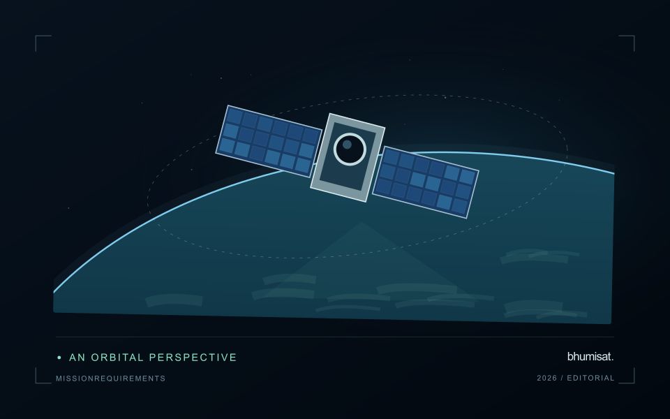
In 2026, bhumisat is presented as a TechnoGIS Earth observation initiative with a mission vision targeted for 2030. The website's 3U CubeSat artwork illustrates a spacecraft concept with an observation payload and solar arrays. It does not establish flight readiness or final performance. This article explains the questions behind a proposed multispectral sensing approach and how agricultural applications can guide a disciplined path from concept studies to a possible mission.
What RGB, Red Edge and NIR mean in the concept
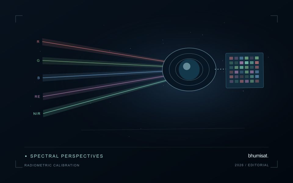
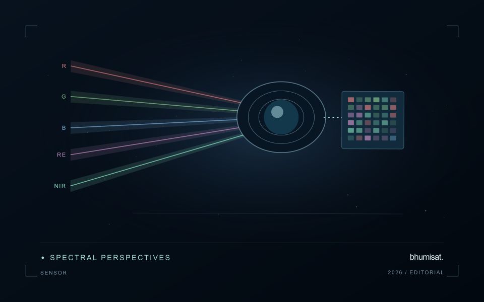
The proposed spectral configuration combines red, green and blue channels with a Red Edge channel and a near-infrared channel. RGB represents three channels, so this description identifies five spectral channels in total. It describes the intended spectral coverage of the concept; it does not specify a sensor model, exact band centres, bandwidths or a completed instrument architecture. Those details require further design and testing.
Visible channels provide a familiar view of land cover and field context. A Red Edge channel samples a region between visible red and near-infrared wavelengths, while NIR measures light outside the range of human vision. Their potential value depends on the agricultural question and the instrument response. Adding a channel should therefore be justified by the information it contributes, together with the calibration and processing needed to use it.
Connect spectral measurements to a specific application
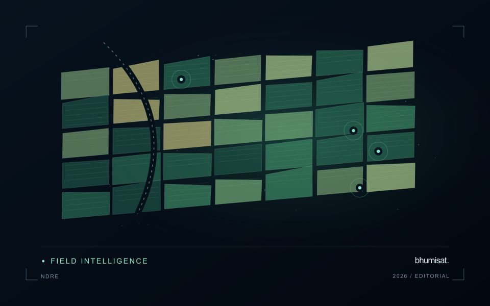
A proposed crop-monitoring application should state the variable or pattern it aims to investigate. Describing general vegetation differences is a different task from estimating a specific crop parameter. The latter requires a validated relationship between the measurements and the parameter of interest. Different crops, growth stages and management conditions can require different approaches. A mission study should identify these distinctions rather than promising that one sensor configuration will answer every agricultural question.
A practical first step is to test candidate analytical methods with suitable existing imagery and field observations. This can help reveal which measurements are informative and which conditions create ambiguity. The findings can then inform payload requirements. A strong result at one research site remains evidence for that setting; wider application needs further evaluation. Building this evidence early helps the spacecraft design follow demonstrated information needs.
Why spectral coverage does not determine spatial resolution
A list of spectral bands does not establish the detail that a satellite could measure on the ground. Spatial performance depends on the optical system, detector, orbit, spacecraft motion and other parts of the imaging chain. A compact body does not by itself imply a particular ground resolution. Similarly, enlarging or sharpening a displayed image does not demonstrate that the instrument measured additional detail.
The mission team should define how image performance would be assessed before making a public resolution claim. Test targets, optical measurements, image motion analysis and a documented ground-sampling model can contribute to that assessment. Agricultural usefulness also depends on the target landscape. The required detail for monitoring large management blocks may differ from that required for narrow fields or individual crop features. Requirements should reflect the intended application.
Calibration makes a multispectral instrument measurable
For an agricultural monitoring mission, consistency can be as important as image appearance. A multispectral instrument needs a way to characterise its response across channels and operating conditions. The study should consider how changes in illumination, temperature and instrument behaviour would be distinguished from changes on the ground. Calibration planning belongs in the payload design, rather than being left until the first images are available.
Geometric consistency matters too. Measurements in different channels should refer to the same surface as closely as the application requires. If they are misaligned, a vegetation index near a field edge can combine responses from different land covers. A proposed processing chain should therefore address channel alignment and image geolocation. The appropriate acceptance criteria depend on the observation scale and the errors the application can tolerate.
Pointing, power and communications belong in one study
An observation payload operates within a complete spacecraft. The team must consider whether the platform can orient the instrument appropriately, support the planned acquisition sequence and preserve the resulting measurements. Power generation, storage, onboard processing and communication opportunities affect how much useful data can be collected and delivered. A promising camera cannot be assessed independently of these constraints.
NASA's small-spacecraft technology report organises its material around these interacting subsystems and their development status. The report also cautions that technology maturity depends on mission conditions and requirements. Its role here is to provide an engineering reference, not to endorse a particular bhumisat component or establish readiness for this concept. [1]
Design the ground workflow alongside the spacecraft
The ground segment turns acquired data into information that a user can inspect and interpret. A mission study should describe how observations would be received, checked, calibrated, geolocated and associated with metadata. It should also consider how failed acquisitions or incomplete transfers would be represented. A dependable service needs to know when usable data are absent, as well as when an image has arrived.
For agricultural applications, the final workflow may include field boundaries, crop records, quality masks and comparisons with other observation sources. The processing system should preserve acquisition dates and distinguish preliminary results from validated products. This creates a traceable connection between the spacecraft measurement and the field-level conclusion. It also gives the mission team a way to test the delivery process before committing to operational claims.
Treat the route to 2030 as a series of evidence gates
A target year is useful when it helps organise decisions. A concept can progress through application studies, requirements definition, subsystem tests, integrated prototypes and mission-readiness reviews. Each stage should have evidence that justifies moving forward. Some findings may require the design to change. Revising a requirement after a well-designed test is part of responsible development, particularly when the available volume, power or budget cannot support every initial ambition.
NASA's CubeSat developer resources bring together introductory guidance, design specifications and regulatory material. They underline that a CubeSat mission involves more than assembling a payload inside a standard form factor. For bhumisat, launch timing remains dependent on technical readiness, funding, approvals and suitable partners. The 2030 date is a development target rather than an assurance of an operational satellite service. [2]
Keep application validation central to the mission vision
A satellite mission should ultimately be assessed by the observations it can reliably deliver and the decisions those observations support. In agriculture, that requires cooperation between instrument engineers, remote-sensing specialists, agronomists and the people managing the land. A technically successful image is an important step, but the application still needs evidence that its interpretation remains useful across relevant crops, seasons and conditions.
The bhumisat vision connects that long-term spacecraft ambition with practical questions on Earth. Multispectral RGB, Red Edge and NIR sensing is a proposed part of the concept, subject to further study. Keeping the specifications transparent allows researchers, technology partners and potential users to discuss the mission on a common basis. The strongest path towards 2030 is a sequence of measured improvements in observation, validation and delivery, with each claim supported by the evidence available.
Sources & further reading
Explore the bhumisat spacecraft concept and our vision towards 2030, or return to the journal.