A method that produces a plausible result has not automatically demonstrated that it works for its intended users. Validation requires a defined question, suitable reference evidence, and an evaluation design that reflects how the method will be used. This perspective examines which observations should be compared, how they should be sampled, and which errors matter in practice. It also considers the difference between evidence used to develop a method and evidence reserved for evaluating it. The objective is a test that can reveal weaknesses as well as confirm useful performance.
This working guide considers testing whether a remote sensing model transfers in citrus orchard blocks. The immediate decision is to target orchard inspection visits. Useful reference evidence includes tree-row structure, irrigation notes and canopy observations. The case is an illustrative planning context, with assumptions to check against the actual sensor, landscape and project requirements.
Identify what changes between domains
A model trained on one region or season learns relationships present in its development data. Applying it elsewhere assumes those relationships remain useful. New crop varieties, forest types, soil colours, management practices, illumination, or sensor characteristics can violate that assumption. Define the intended transfer explicitly: a new district, another year, another sensor, or a different class distribution. Each change creates a different test. A model that transfers across nearby fields has not thereby demonstrated reliable performance across climates or observation systems.
Keep the measurement pipeline consistent before attributing differences to the model. Reflectance scaling, band order, cloud masking, spatial resolution, composite windows, and missing value handling can all change predictions. Sensors with similarly named bands may have different spectral responses. Harmonization can reduce some differences but does not establish equivalence for every target. Examine predictor distributions, missing data rates, and examples from the new setting. Flag inputs outside the conditions represented during training so that extrapolation remains visible.
Test the destination, then adapt carefully
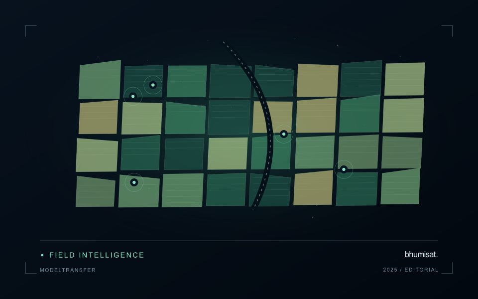
Design evaluation splits around the intended deployment. Hold out geographic regions to test spatial transfer and later years to test temporal transfer, keeping neighboring samples or repeated observations of the same site together when needed. Report performance for meaningful destination groups rather than only a pooled score. Class prevalence affects some metrics, so interpret changes alongside the underlying confusion matrix or residual distributions. A random pixel split can look excellent while providing little evidence about performance in an unseen region.
If local labels are available, reserve a destination assessment set before fine tuning or recalibration. Use the remaining observations to compare straightforward baselines with more complex adaptation methods. Check whether improvement comes from genuine transfer or simply from adding representative local data. Retain an option to withhold predictions when input quality or novelty makes them unreliable. Document the training domain, destination evidence, preprocessing versions, and conditions where use is unsupported. Continue monitoring once new observations arrive, since seasonal and environmental shifts can emerge after an initial evaluation. Transferability is a measured property of a particular model, workflow, target, and destination; it should not be inferred from architecture name or strong performance on the original test set.
The setting: Citrus orchard blocks
A citrus orchard is a structured mixture of tree crowns and the surfaces between them. Row spacing, tree age, canopy size and ground management can all influence the observed response. A young block with substantial exposed soil should not be compared directly with a mature block without considering this structure. Decide whether the output is intended to describe the whole management block, the tree canopy or a particular agronomic parameter.
The scale of the imagery determines how clearly those components can be separated. Where individual crowns cannot be resolved reliably, block-level analysis may be more defensible than presenting apparent tree-by-tree detail. Retain irrigation and maintenance records alongside the image sequence, and examine whether recent ground-cover work could explain a change. Cloud screening, geometric alignment and stable boundaries remain important even in regions where usable optical observations are relatively frequent.
A field visit should distinguish canopy observations from conditions in the inter-row area. Record tree age, recent pruning, irrigation context and the location of any measurements used to investigate a flagged zone. A remote-sensing alert cannot by itself establish a named disease or a nutritional diagnosis. Evaluate whether the information helps orchard staff select productive inspection locations, and use suitable independent evidence before extending the service to claims about fruit yield or quality.
Check spatial alignment before comparison
A comparison between images, channels, maps, or field measurements assumes that the observations refer to the same locations at a suitable level of precision. Small alignment errors can become especially important near boundaries or narrow features. Before interpreting differences, inspect whether identifiable, stable features agree between the sources. A common coordinate reference is necessary for many workflows, but it does not by itself demonstrate accurate alignment.
Use control features that are appropriate for the observation scale and remain stable across the comparison period. Evaluate alignment in more than one part of the area, because a single location cannot reveal spatially varying distortion. Record the method used to estimate any correction and retain independent features for checking the corrected result. Where surfaces have genuinely changed, avoid using those changes as evidence of an alignment error.
Propagate the implications of remaining misalignment into the analysis. A workflow may exclude boundary pixels, summarise at a broader scale, or qualify interpretations for small features. The choice should follow the application rather than a preference for visually smooth output. Preserve both the original and corrected geographic references, and document resampling decisions so that future users can understand how measurements were moved onto a common spatial framework.
Design an evaluation that reflects deployment
A model evaluation should resemble the conditions in which the model will be used. Start by identifying which relationships the development data share: nearby locations, repeated observations of the same unit, common collection teams, or measurements from a single period. These relationships can make records less independent than they appear. An evaluation that ignores them may test the ability to recognise familiar conditions rather than the ability to operate in a new setting.
Choose a split strategy that matches the intended transfer. Holding out locations, seasons, operational units, or acquisition conditions can answer different questions. Document which question each split is designed to address, and keep the held-out evidence separate while selecting features and tuning the method. Repeatedly inspecting the same evaluation set to improve a model gradually makes that set part of development, even if it retains its original label.
Report results at a scale that is meaningful to the user. A strong average can hide poor performance for important subgroups or unusual conditions. Examine error patterns and retain examples of both successful and unsuccessful predictions. Where the evidence covers only a limited range of conditions, describe that range explicitly. The evaluation then becomes a practical guide to suitable use, further testing, and the collection of additional reference observations.
Bring the evidence back to the decision
The validation record should explain the population represented by the test, the reference observations used, and the limitations of the comparison. Report meaningful errors alongside useful successes, and retain examples that challenge the method. Treat wider deployment as a new opportunity to evaluate transfer across relevant conditions. A well-designed validation programme gives users a defensible basis for deciding where the method is useful, where additional evidence is needed, and where another approach may be appropriate.
Sources & further reading
Explore the bhumisat spacecraft concept and our vision towards 2030, or return to the journal.