Remote observations show patterns, while practical decisions depend on explaining what those patterns could mean. Interpretation therefore requires more than locating a high or low value on a map. A useful analysis considers the timing of the observation, the physical processes that influence the measurement, and the information available from complementary sources. This perspective separates an observed signal from a proposed explanation and from an action recommended to a user. Keeping those stages distinct makes it easier to investigate alternative causes, communicate ambiguity, and choose a proportionate next step.
This working guide considers writing requirements from an earth observation need in soybean production fields. The immediate decision is to direct scouting to unusual field zones. Useful reference evidence includes planting dates, canopy closure and crop-stage observations. The case is an illustrative planning context, with assumptions to check against the actual sensor, landscape and project requirements.
Translate a user decision into measurable behavior
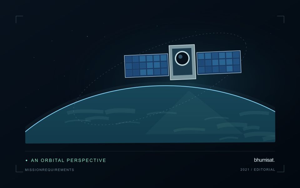
A mission requirement should connect to a decision that someone needs to make with the observations. Begin by defining the target phenomenon, geographic area, relevant season and consequence of delay or error. A request to monitor crops is too broad to guide a spacecraft design. The useful question is which crop condition must be distinguished, at what field scale, how often, and with what confidence.
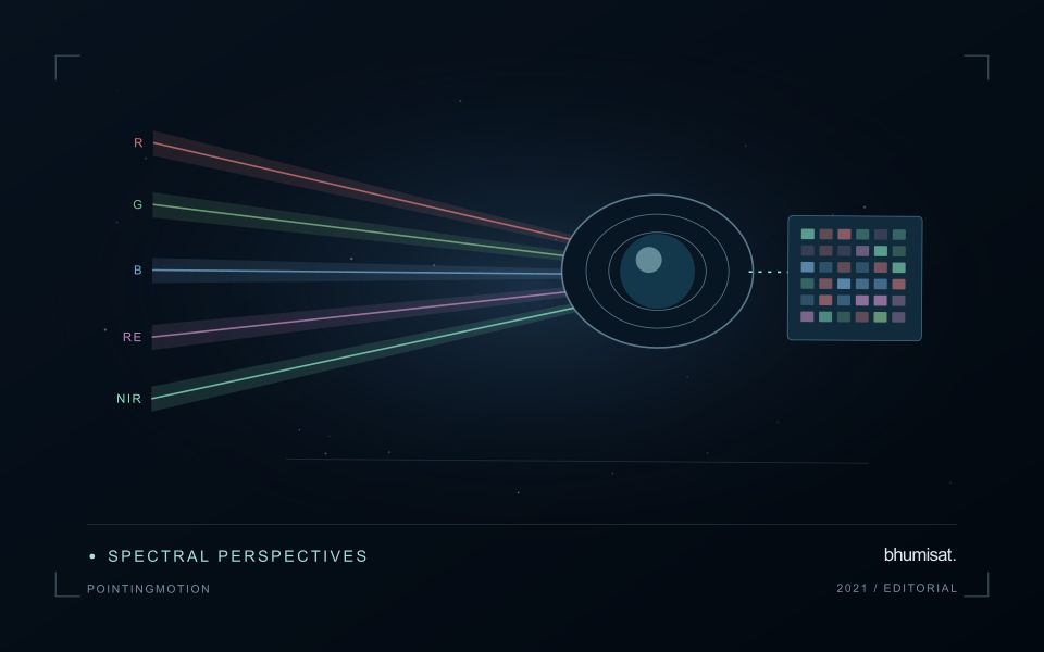
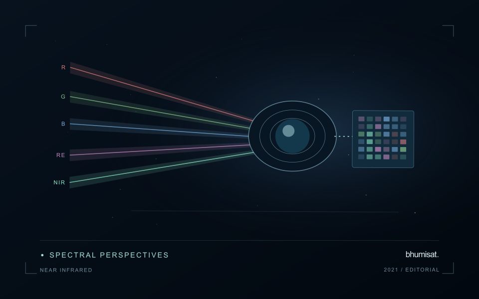
Translate these needs into product requirements before allocating spacecraft specifications. Consider spatial detail, spectral information, radiometric performance, location accuracy, usable revisit and delivery latency. Geometric revisit describes observation opportunities; clouds and acquisition constraints can make usable observations much less frequent. Define terms carefully so that a requirement for delivered, cloud screened coverage cannot be satisfied merely by showing an orbit access calculation.
Keep traceability through design and verification
Write individual requirements that can be checked using a stated method and acceptance criterion. Identify the conditions under which each applies, such as target brightness, viewing angle or operating temperature. Avoid combining several unrelated promises in one sentence. Retain a rationale and a link to the higher level need, allowing reviewers to understand why the requirement exists and what would change if it were relaxed.
Allocate performance across the payload, spacecraft, ground segment and processing chain. Image sharpness may depend on optics, detector sampling, motion and resampling. Delivery time may depend on acquisition planning, onboard storage, ground contacts and processing queues. Budgets make these contributions visible and expose conflicts between objectives. Preserve margin where uncertainty remains, and record assumptions rather than hiding them inside an optimistic headline specification.
Plan verification while writing the requirement. Inspection, analysis, demonstration and testing each provide different kinds of evidence. Define the test configuration, reference measurement, uncertainty and pass criterion early enough to influence the design. Verification asks whether the implemented system meets its requirements; validation asks whether that system serves the intended use. Representative users and realistic application examples can reveal an inadequate requirement even when every hardware test passes. Manage revisions through a controlled record that describes their consequences for dependent requirements, budgets and tests. This turns requirements into a working design tool rather than a document assembled only before a review.
The setting: Soybean production fields
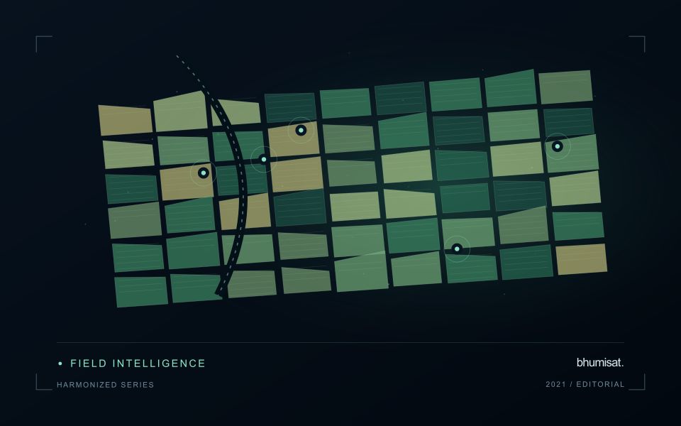
Soybean imagery can show substantial variation as fields progress from exposed soil to closed canopy and eventually to maturity. Planting date, stand arrangement, variety and management can shift that progression. Use these factors to define comparison groups before labelling a field unusual. The boundary dataset should distinguish the planted area from tracks, drainage features and other surfaces that can contribute a large share of the measurement in small or irregular fields.
A practical analytical sequence combines quality-screened imagery with the field calendar and relevant management notes. Review whether an apparent difference persists across usable observations and whether it follows a plausible spatial pattern within the field. An index response can be affected by background soil, weeds, residue or illumination as well as the crop. These possibilities should guide the investigation rather than being collapsed into an automatic claim about plant nutrition or disease.
A field team can test whether the mapped zones correspond to different crop stages or other observable conditions. Collect samples across the range of mapped responses, and include typical areas to avoid evaluating only conspicuous anomalies. Where production estimates are proposed, match the spatial and temporal scale of the reference data to the prediction. A field-average yield record cannot directly validate every small pixel-level variation shown on an attractive map.
Design field observations around the information need
Field observations are most useful when they answer a defined question within the monitoring workflow. Begin by identifying the variable, condition, or management event that needs to be recorded and the geographic unit to which it applies. Distinguish direct measurements from an observer's interpretation. A consistent record of crop stage, management timing, and visible conditions can provide valuable context even when the field team is not collecting a complex set of measurements.
Prepare a collection protocol that reflects the variability of the site. Define where observations are made within a unit, how many locations are represented, and how the position and time are recorded. Avoid selecting only the most dramatic or convenient examples. Include apparently normal conditions and records that might challenge the remote interpretation. Where a measurement method has known limitations, preserve the information needed to assess whether those limitations affect the intended comparison.
Link field records to the corresponding remote observations without losing their original detail. Geographic matching, timing, and the scale represented by each record should remain visible. Review disagreements with the collecting team before changing a label or excluding an observation. A disagreement may reveal a timing mismatch, a mixed surface, or an incomplete interpretation rather than a simple error. The field programme should improve the understanding of the monitoring process as well as provide evidence for evaluating its outputs.
Check readiness before an acquisition
An acquisition plan should consider the complete sequence needed to obtain a usable observation. Define the target, the required configuration, the timing opportunity, and the conditions under which the observation should proceed. For a spacecraft study, this includes the relationships between pointing, instrument operation, available resources, and data handling. For other observation platforms, the same principle applies: a valid measurement depends on more than the presence of a suitable sensor.
Use a readiness checklist tied to the intended acquisition rather than a generic declaration that the system is available. Confirm the relevant configuration, geographic information, time references, storage capacity, and expected data products. Identify conditions that require postponement or a revised plan. Where resource estimates are uncertain, state the assumption and test its consequences before treating it as an operational margin.
Review the acquisition after it occurs or after a representative simulation. Compare the planned sequence with the evidence actually produced, including metadata, coverage, and quality information. Record incomplete acquisitions as useful evidence about the workflow rather than silently excluding them from the record. Repeated reviews can reveal whether a limitation arises from planning, platform behaviour, instrument operation, or processing. This creates a disciplined route from an observation opportunity to a dependable measurement capability.
Bring the evidence back to the decision
A strong interpretation states what was observed, which explanations remain plausible, and what additional evidence would help distinguish them. Avoid presenting a convenient label as a confirmed cause when the measurements support only a broader pattern. Connect the proposed next step to the significance of the decision and the confidence available. This creates an interpretation that a field team, analyst, or project partner can examine, challenge, and improve as further observations become available.
Sources & further reading
Explore the bhumisat spacecraft concept and our vision towards 2030, or return to the journal.