An analytical result becomes operational information only when the receiving team can understand it and use it within existing responsibilities. Handoffs often fail because assumptions that were obvious to the analyst are absent from the delivered product. This perspective considers the information needed at that boundary: acquisition time, processing status, geographic scope, quality qualifications, and the action expected from the recipient. It also asks how corrections and feedback should return to the producing team. A dependable handoff creates a shared understanding of the result, rather than merely transferring a file.
This working guide considers writing requirements from an earth observation need on highland coffee farms. The immediate decision is to select coffee plots for field review. Useful reference evidence includes shade cover, coffee growth stage and terrain-aware field notes. The case is an illustrative planning context, with assumptions to check against the actual sensor, landscape and project requirements.
Translate a user decision into measurable behavior
A mission requirement should connect to a decision that someone needs to make with the observations. Begin by defining the target phenomenon, geographic area, relevant season and consequence of delay or error. A request to monitor crops is too broad to guide a spacecraft design. The useful question is which crop condition must be distinguished, at what field scale, how often, and with what confidence.
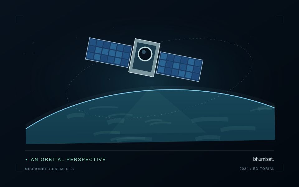
Translate these needs into product requirements before allocating spacecraft specifications. Consider spatial detail, spectral information, radiometric performance, location accuracy, usable revisit and delivery latency. Geometric revisit describes observation opportunities; clouds and acquisition constraints can make usable observations much less frequent. Define terms carefully so that a requirement for delivered, cloud screened coverage cannot be satisfied merely by showing an orbit access calculation.
Keep traceability through design and verification
Write individual requirements that can be checked using a stated method and acceptance criterion. Identify the conditions under which each applies, such as target brightness, viewing angle or operating temperature. Avoid combining several unrelated promises in one sentence. Retain a rationale and a link to the higher level need, allowing reviewers to understand why the requirement exists and what would change if it were relaxed.
Allocate performance across the payload, spacecraft, ground segment and processing chain. Image sharpness may depend on optics, detector sampling, motion and resampling. Delivery time may depend on acquisition planning, onboard storage, ground contacts and processing queues. Budgets make these contributions visible and expose conflicts between objectives. Preserve margin where uncertainty remains, and record assumptions rather than hiding them inside an optimistic headline specification.
Plan verification while writing the requirement. Inspection, analysis, demonstration and testing each provide different kinds of evidence. Define the test configuration, reference measurement, uncertainty and pass criterion early enough to influence the design. Verification asks whether the implemented system meets its requirements; validation asks whether that system serves the intended use. Representative users and realistic application examples can reveal an inadequate requirement even when every hardware test passes. Manage revisions through a controlled record that describes their consequences for dependent requirements, budgets and tests. This turns requirements into a working design tool rather than a document assembled only before a review.
The setting: Highland coffee farms
Coffee farms in highland terrain can combine coffee plants, shade trees, paths, soil and other crops within the same image footprint. The observed canopy may therefore describe the wider agroforestry system as much as the coffee itself. Before choosing an analytical method, decide whether the intended output concerns farm-level vegetation, shade management or a coffee-specific variable. These are distinct tasks and require different reference observations and levels of spatial detail.
Slope, aspect and changing illumination complicate comparisons between locations and acquisition dates. A dark patch on a shaded slope should not immediately be classified as stressed vegetation. Inspect terrain and shadow conditions alongside the image quality information, and compare areas with similar observation geometry where possible. Farm boundaries should also be checked carefully because small geolocation differences can move a sampling footprint from coffee into a neighbouring tree canopy or access track.
Field teams should document coffee stage, shade structure, recent pruning and the location of the plants or plots they measure. Samples collected beside a convenient path may not represent the full farm. A practical service could help organise visits or describe changes in farm cover, but claims about coffee condition or production need their own validation. Preserve these distinctions in the report so that a useful landscape observation is not presented as a plant-level diagnosis.
Design field observations around the information need
Field observations are most useful when they answer a defined question within the monitoring workflow. Begin by identifying the variable, condition, or management event that needs to be recorded and the geographic unit to which it applies. Distinguish direct measurements from an observer's interpretation. A consistent record of crop stage, management timing, and visible conditions can provide valuable context even when the field team is not collecting a complex set of measurements.
Prepare a collection protocol that reflects the variability of the site. Define where observations are made within a unit, how many locations are represented, and how the position and time are recorded. Avoid selecting only the most dramatic or convenient examples. Include apparently normal conditions and records that might challenge the remote interpretation. Where a measurement method has known limitations, preserve the information needed to assess whether those limitations affect the intended comparison.
Link field records to the corresponding remote observations without losing their original detail. Geographic matching, timing, and the scale represented by each record should remain visible. Review disagreements with the collecting team before changing a label or excluding an observation. A disagreement may reveal a timing mismatch, a mixed surface, or an incomplete interpretation rather than a simple error. The field programme should improve the understanding of the monitoring process as well as provide evidence for evaluating its outputs.
Check spatial alignment before comparison
A comparison between images, channels, maps, or field measurements assumes that the observations refer to the same locations at a suitable level of precision. Small alignment errors can become especially important near boundaries or narrow features. Before interpreting differences, inspect whether identifiable, stable features agree between the sources. A common coordinate reference is necessary for many workflows, but it does not by itself demonstrate accurate alignment.
Use control features that are appropriate for the observation scale and remain stable across the comparison period. Evaluate alignment in more than one part of the area, because a single location cannot reveal spatially varying distortion. Record the method used to estimate any correction and retain independent features for checking the corrected result. Where surfaces have genuinely changed, avoid using those changes as evidence of an alignment error.
Propagate the implications of remaining misalignment into the analysis. A workflow may exclude boundary pixels, summarise at a broader scale, or qualify interpretations for small features. The choice should follow the application rather than a preference for visually smooth output. Preserve both the original and corrected geographic references, and document resampling decisions so that future users can understand how measurements were moved onto a common spatial framework.
Bring the evidence back to the decision
A successful handoff leaves the recipient with a clear result, sufficient context, and a practical route for raising questions. Test the delivery with the people who will use it, including how they respond when observations are missing or qualified. Capture their feedback as evidence for improving the product. The most useful delivery format is the one that preserves the relevant technical meaning while fitting the decisions, time constraints, and responsibilities of its intended audience.
Sources & further reading
Explore the bhumisat spacecraft concept and our vision towards 2030, or return to the journal.