A convincing image can still contain measurements that are unsuitable for a particular task. Quality control asks whether the inputs, transformations, and outputs meet the requirements of the intended application. This perspective follows evidence through the workflow, from acquisition metadata and reference observations to the final interpretation. It encourages teams to define acceptance conditions before seeing the result, rather than adjusting them to favour a preferred conclusion. The purpose is a repeatable way to distinguish usable observations, observations requiring qualification, and observations that should be excluded from a decision.
This working guide considers detecting persistent land cover change around active construction sites. The immediate decision is to prioritise sites requiring progress review. Useful reference evidence includes dated site records and consistently located surface observations. The case is an illustrative planning context, with assumptions to check against the actual sensor, landscape and project requirements.
Define a transition that matters
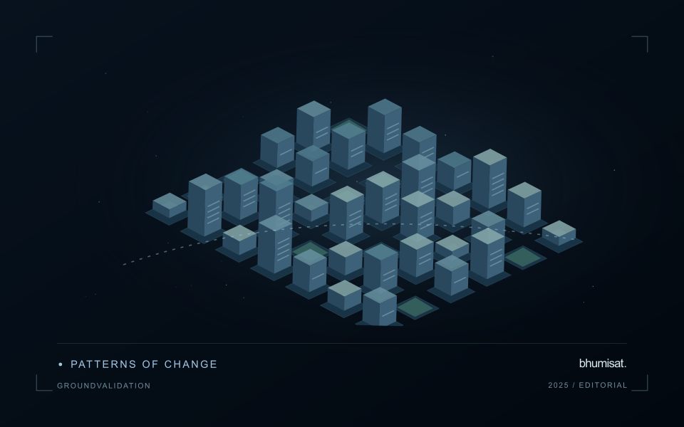
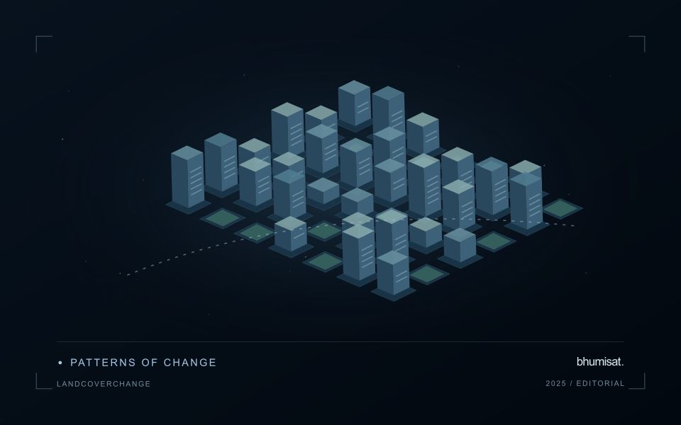
Land cover change analysis asks whether the physical surface changed between observations. Land use describes how people manage or use that surface, which may require contextual evidence beyond imagery. Define the classes, transition rules, reporting period, and minimum mapping unit before selecting a method. A forest to built surface transition differs from temporary bare soil within a cropping cycle. The definition should state how mixed pixels, gradual changes, and temporary disturbances are represented so that a map reader can interpret the result consistently.
Two classified images can be compared to describe transitions, but errors in either classification enter the change map. Direct spectral change methods can detect altered reflectance without assigning a reliable cause. Time series methods add evidence about timing and persistence, helping separate an abrupt disturbance from seasonal vegetation cycles. They still depend on the density and quality of observations. A long cloud gap can hide the true change date, and sensor or processing differences can create breaks unrelated to the ground.
Control differences before counting change
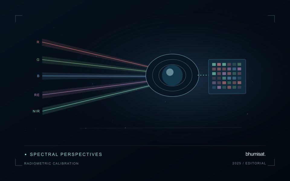
Use a common grid and check alignment at stable features. Small positional shifts can generate false change along rivers, field boundaries, and roads. Harmonize comparable measurements, apply quality masks, and examine seasonal differences in illumination, rainfall, crop development, and water levels. Record valid observation counts rather than treating cloudy pixels as stable land. If using annual composites, explain whether they represent a season, a statistical summary, or a selected observation, because each choice changes the temporal meaning of a transition.
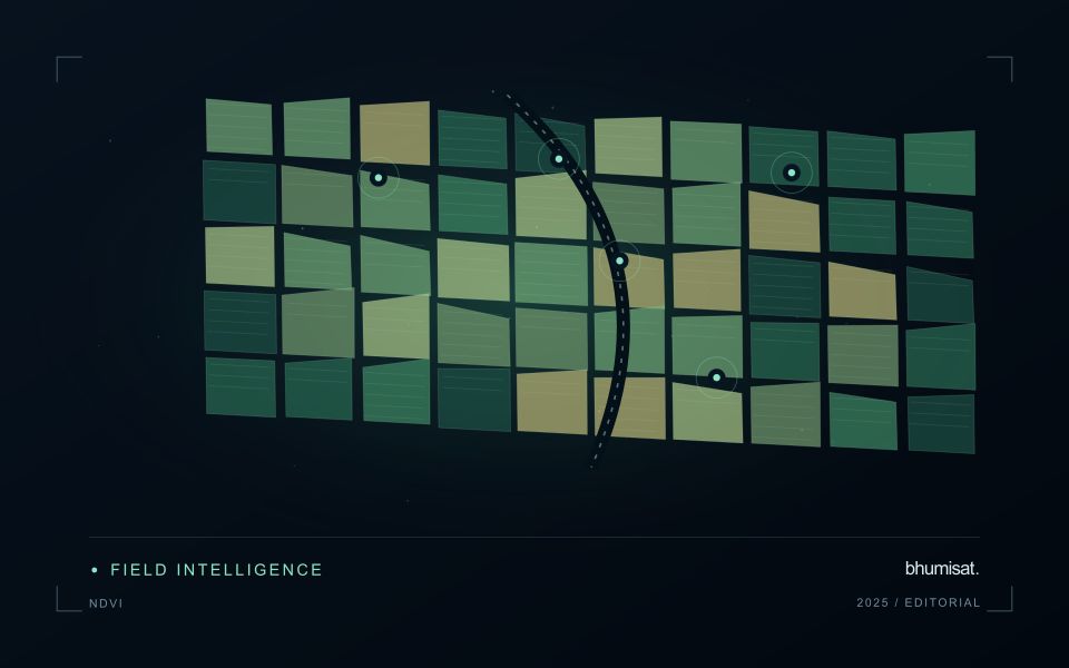
Design reference sampling to include both changed and unchanged locations, with enough examples of uncommon transitions. Inspect independent evidence across dates and record uncertainty in reference labels when the transition is ambiguous. Report errors for individual transitions rather than only overall map accuracy, since extensive stable areas can make weak change detection look successful. Estimate transition areas with the sampling design and appropriate uncertainty, especially when the mapped change class has false positives. Preserve class definitions and processing versions when comparing periods. A defensible summary states what changed, the interval during which it was observed, and how reliably the analysis distinguishes it from observation artifacts and temporary surface conditions.
The setting: Construction site change
A construction site can progress through clearing, ground works, temporary storage, structural development and surface finishing. A satellite image may reveal some visible changes without establishing whether the project has reached a contractual or operational milestone. Define the monitoring objective in terms of observable surfaces and the decisions the information should support. Site boundaries and a reliable sequence of dated records provide the context needed to distinguish project activity from changes in neighbouring land.
The size and arrangement of features determine what the image can resolve. Stockpiles, temporary access routes and partly completed structures may be mixed with other surfaces within an observation. Shadows and acquisition geometry can also change the appearance of buildings. Compare quality-screened observations and retain the dates supporting each mapped change. A map should not imply that every visible feature was measured independently or that its physical dimensions are known more precisely than the data allow.
Validation should use dated site observations that describe the same area and feature definition as the analysis. Record temporary works and other context that might explain an apparent change. A remote observation can help select a site for review, while more specific statements about project progress need relevant project records. Evaluate whether the product provides useful and timely evidence for that review, including examples where a conspicuous image change had an ordinary or temporary explanation.
Design an evaluation that reflects deployment
A model evaluation should resemble the conditions in which the model will be used. Start by identifying which relationships the development data share: nearby locations, repeated observations of the same unit, common collection teams, or measurements from a single period. These relationships can make records less independent than they appear. An evaluation that ignores them may test the ability to recognise familiar conditions rather than the ability to operate in a new setting.
Choose a split strategy that matches the intended transfer. Holding out locations, seasons, operational units, or acquisition conditions can answer different questions. Document which question each split is designed to address, and keep the held-out evidence separate while selecting features and tuning the method. Repeatedly inspecting the same evaluation set to improve a model gradually makes that set part of development, even if it retains its original label.
Report results at a scale that is meaningful to the user. A strong average can hide poor performance for important subgroups or unusual conditions. Examine error patterns and retain examples of both successful and unsuccessful predictions. Where the evidence covers only a limited range of conditions, describe that range explicitly. The evaluation then becomes a practical guide to suitable use, further testing, and the collection of additional reference observations.
Deliver quality flags that users can interpret
Quality information should describe the condition of an observation in terms that remain useful through the workflow. A single valid or invalid label may be sufficient for some calculations, but operational users often need to know why an observation was qualified. Distinguish acquisition limitations, processing failures, uncertain reference matches, and conditions that make interpretation ambiguous. These categories point towards different responses and should not be merged without a clear purpose.
Define a small, documented set of flags with stable meanings. Record whether a flag applies to a complete scene, a geographic unit, an individual measurement, or a derived result. A unit containing a mixture of qualified and unqualified observations may also require a coverage measure. Include the rule used to combine flags when summarising data so that a favourable average does not conceal a substantial fraction of unusable input.
Test the flags with the people receiving the product. Ask what they would do differently for each state and whether the terminology supports that choice. Keep the original flags available even if the interface presents a simpler summary. When flag definitions change, version the rules and review their effects on historical comparisons. Useful quality communication makes the condition of the evidence visible at the moment when a user decides how much confidence to place in the result.
Bring the evidence back to the decision
Quality control is most useful when its results travel with the information being delivered. Preserve the reasons for accepting or rejecting an observation, and expose limitations that could change the user's interpretation. Review recurring failures as clues about the design of the workflow. A clear quality record supports consistent comparisons between operators and processing versions, while helping the team decide whether a problem originates in acquisition, preparation, interpretation, or the underlying observation requirements.
Sources & further reading
Explore the bhumisat spacecraft concept and our vision towards 2030, or return to the journal.