Remote observations show patterns, while practical decisions depend on explaining what those patterns could mean. Interpretation therefore requires more than locating a high or low value on a map. A useful analysis considers the timing of the observation, the physical processes that influence the measurement, and the information available from complementary sources. This perspective separates an observed signal from a proposed explanation and from an action recommended to a user. Keeping those stages distinct makes it easier to investigate alternative causes, communicate ambiguity, and choose a proportionate next step.
This working guide considers harmonising satellite observation time series around active construction sites. The immediate decision is to prioritise sites requiring progress review. Useful reference evidence includes dated site records and consistently located surface observations. The case is an illustrative planning context, with assumptions to check against the actual sensor, landscape and project requirements.
More observations require a common measurement definition
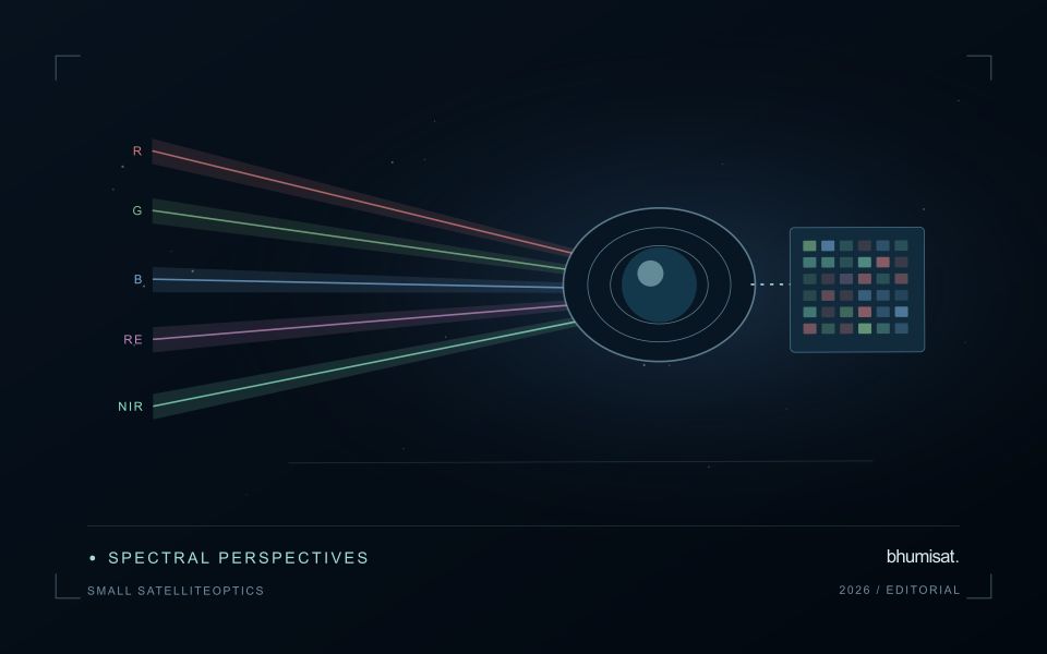
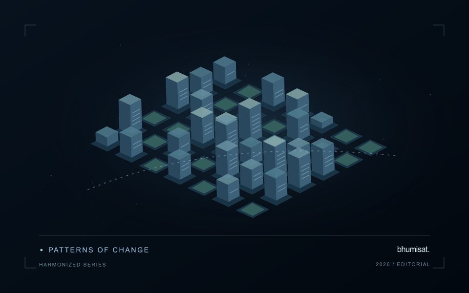
Combining observations from different satellites can increase the information available through time, but the resulting series needs a common analytical definition. Instruments may differ in spectral response, spatial sampling, viewing geometry and processing history. Two bands with similar names are not necessarily equivalent measurements. Harmonisation addresses selected differences so that observations can be used together more consistently. It should be understood as a documented processing approach with remaining limitations, rather than a guarantee that every value from every sensor is interchangeable.
A suitable workflow begins with the variables that need to be compared. Identify the input products, their physical meaning and the transformations already applied. A common grid helps organise observations spatially, while atmospheric correction, geometry normalisation and spectral adjustments may address other differences. These operations have distinct purposes. Applying only one of them should not be described as complete harmonisation. Retain sensor identity and acquisition metadata even when the user sees one combined series, because those attributes remain valuable for diagnosing an apparent discontinuity.
Validate continuity before interpreting a longer record
Test continuity using overlapping or otherwise comparable observations and independent evidence where available. Inspect several surface types and canopy conditions rather than evaluating only one convenient landscape. A consistent average relationship can still hide a meaningful difference for a particular crop or season. Examine how the combined record affects the final product, including index thresholds, fitted timing metrics and change alerts. The relevant question is whether the remaining differences are acceptable for that application, not merely whether the images appear similar on a map.
A longer record also requires a stable policy for quality screening and updates. Changes in input collections, calibration or processing versions can affect historical outputs. Version the workflow and preserve enough information to reproduce earlier results when necessary. When a series crosses a known processing change, evaluate the transition explicitly. A harmonised dataset can provide a strong foundation for monitoring, but field context and validation still determine the usefulness of its interpretation. Maintaining traceability allows additional observations to improve coverage without concealing their origins or implying a precision that has not been demonstrated.
The setting: Construction site change
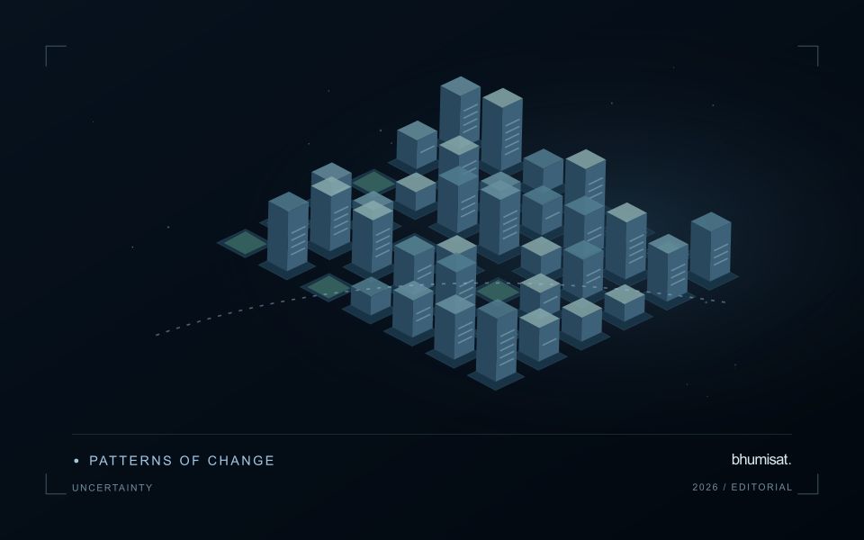
A construction site can progress through clearing, ground works, temporary storage, structural development and surface finishing. A satellite image may reveal some visible changes without establishing whether the project has reached a contractual or operational milestone. Define the monitoring objective in terms of observable surfaces and the decisions the information should support. Site boundaries and a reliable sequence of dated records provide the context needed to distinguish project activity from changes in neighbouring land.
The size and arrangement of features determine what the image can resolve. Stockpiles, temporary access routes and partly completed structures may be mixed with other surfaces within an observation. Shadows and acquisition geometry can also change the appearance of buildings. Compare quality-screened observations and retain the dates supporting each mapped change. A map should not imply that every visible feature was measured independently or that its physical dimensions are known more precisely than the data allow.
Validation should use dated site observations that describe the same area and feature definition as the analysis. Record temporary works and other context that might explain an apparent change. A remote observation can help select a site for review, while more specific statements about project progress need relevant project records. Evaluate whether the product provides useful and timely evidence for that review, including examples where a conspicuous image change had an ordinary or temporary explanation.
Use observation labels with consistent meanings
A reference label should describe an observation that another person could recognise or reproduce. Broad terms such as good, damaged, or unusual can conceal substantial differences between collection teams. Begin by defining the feature or condition being recorded, the observation unit, and the evidence needed to assign a label. Where possible, distinguish a direct measurement from an interpretation made by the observer.
Provide a short collection guide with examples, boundary cases, and a way to record uncertainty. Train observers using shared cases before relying on independently collected labels. If two observers disagree, preserve the disagreement long enough to understand its cause. It may reveal an unclear definition, a genuinely ambiguous condition, a difference in observation scale, or a problem in matching the reference record to the remote measurement.
Retain the context that makes the label interpretable. Location, time, collection method, observer role, and relevant surface conditions can be essential for later review. Changes to the label scheme should be documented and related to earlier versions where a defensible correspondence exists. Consistent labels do not eliminate uncertainty, but they make it possible to investigate disagreement, evaluate analytical methods, and identify where better definitions or additional measurements would improve the evidence.
Validate land-cover transitions
A mapped change should describe a transition between meaningful surface states, not merely a difference between two classifications. Begin by defining the land-cover categories, the geographic unit, and the kinds of transition relevant to the application. Categories should be interpretable in the observations available at each date. A distinction that cannot be recognised consistently can create apparent change even when the underlying surface remains similar.
Evaluate the observations supporting both sides of the transition. Differences in acquisition conditions, geographic alignment, seasonal vegetation, shadows, or class definitions can influence the result. Review stable locations alongside apparent changes, and retain the source imagery or other evidence needed to investigate ambiguous cases. Where multiple changes occur within a geographic unit, describe how the workflow represents mixtures rather than forcing a single label that conceals important variation.
Use reference evidence that reflects the timing and scale of the claimed transition. A recent inspection may confirm the current surface without establishing when a previous condition changed. Historical imagery, dated records, and complementary observations can strengthen that sequence where available. Report uncertainty in the transition itself, including ambiguous starting or ending states. This produces a change product that users can examine as a documented account of land-cover evolution rather than an unexplained set of coloured differences.
Bring the evidence back to the decision
A strong interpretation states what was observed, which explanations remain plausible, and what additional evidence would help distinguish them. Avoid presenting a convenient label as a confirmed cause when the measurements support only a broader pattern. Connect the proposed next step to the significance of the decision and the confidence available. This creates an interpretation that a field team, analyst, or project partner can examine, challenge, and improve as further observations become available.
Sources & further reading
Explore the bhumisat spacecraft concept and our vision towards 2030, or return to the journal.