Remote observations show patterns, while practical decisions depend on explaining what those patterns could mean. Interpretation therefore requires more than locating a high or low value on a map. A useful analysis considers the timing of the observation, the physical processes that influence the measurement, and the information available from complementary sources. This perspective separates an observed signal from a proposed explanation and from an action recommended to a user. Keeping those stages distinct makes it easier to investigate alternative causes, communicate ambiguity, and choose a proportionate next step.
This working guide considers harmonising satellite observation time series in apple orchard management. The immediate decision is to review orchard blocks by growth stage. Useful reference evidence includes pruning history, phenological stage and representative canopy notes. The case is an illustrative planning context, with assumptions to check against the actual sensor, landscape and project requirements.
More observations require a common measurement definition
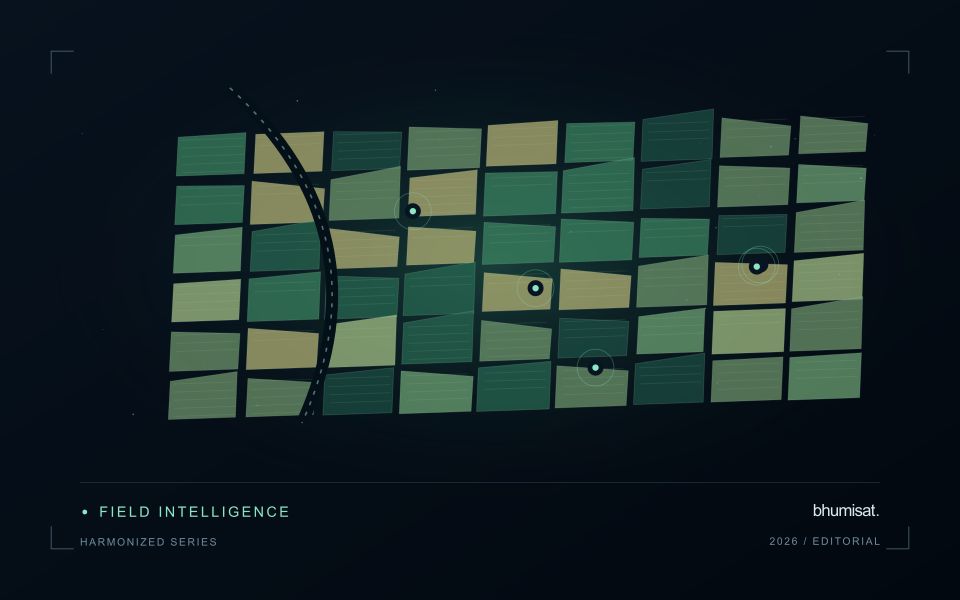
Combining observations from different satellites can increase the information available through time, but the resulting series needs a common analytical definition. Instruments may differ in spectral response, spatial sampling, viewing geometry and processing history. Two bands with similar names are not necessarily equivalent measurements. Harmonisation addresses selected differences so that observations can be used together more consistently. It should be understood as a documented processing approach with remaining limitations, rather than a guarantee that every value from every sensor is interchangeable.
A suitable workflow begins with the variables that need to be compared. Identify the input products, their physical meaning and the transformations already applied. A common grid helps organise observations spatially, while atmospheric correction, geometry normalisation and spectral adjustments may address other differences. These operations have distinct purposes. Applying only one of them should not be described as complete harmonisation. Retain sensor identity and acquisition metadata even when the user sees one combined series, because those attributes remain valuable for diagnosing an apparent discontinuity.
Validate continuity before interpreting a longer record
Test continuity using overlapping or otherwise comparable observations and independent evidence where available. Inspect several surface types and canopy conditions rather than evaluating only one convenient landscape. A consistent average relationship can still hide a meaningful difference for a particular crop or season. Examine how the combined record affects the final product, including index thresholds, fitted timing metrics and change alerts. The relevant question is whether the remaining differences are acceptable for that application, not merely whether the images appear similar on a map.
A longer record also requires a stable policy for quality screening and updates. Changes in input collections, calibration or processing versions can affect historical outputs. Version the workflow and preserve enough information to reproduce earlier results when necessary. When a series crosses a known processing change, evaluate the transition explicitly. A harmonised dataset can provide a strong foundation for monitoring, but field context and validation still determine the usefulness of its interpretation. Maintaining traceability allows additional observations to improve coverage without concealing their origins or implying a precision that has not been demonstrated.
The setting: Apple orchard management
Apple orchards follow a strong management and seasonal sequence, and the surface seen by a satellite changes with it. Leaf development, pruning, ground cover and harvest-related activity can alter the observation without indicating an unexpected problem. A monitoring design should identify which part of this sequence matters to the decision. Store block boundaries together with tree age, training arrangement and a record of the events that could influence a comparison between dates.
Canopy measurements and block measurements are not always the same thing. Where the image resolution mixes tree rows with soil or grass, the resulting value describes that mixture. Differences in row direction and illumination can further complicate interpretation. Use imagery at a suitable spatial support and retain the valid observation area within each summary. A more detailed map should be justified by the information actually resolved, rather than by the sharpness of its display.
Field validation should record phenological stage, canopy condition and recent management at identified sample locations. If the intended service concerns fruit production or quality, it requires corresponding measurements and an evaluation plan matched to that outcome. A canopy anomaly may help focus inspection but does not establish its cause. Reports should give orchard staff the dates, quality context and operational interpretation needed to judge whether another field visit would improve a pending decision.
Preserve a reproducible processing history
A result should be linked to the inputs and processing choices that produced it. Record source identifiers, software versions, configuration values, reference data versions, and the time of processing. The record does not need to expose every internal implementation detail to the end user. It must preserve enough information for the producing team to investigate a result, reproduce a comparison, and explain why a revised product differs from an earlier version.
Version changes that can affect the meaning of the output. Updated boundaries, a new quality mask, revised calibration, different model parameters, or altered aggregation rules can all change results even when the source imagery is unchanged. Avoid overwriting an earlier product without retaining a suitable history. A clear relationship between versions helps users distinguish an improvement in processing from a real change in the observed surface.
Use representative regression cases when modifying the workflow. Select cases that cover ordinary conditions and known failure modes, then compare meaningful outputs before and after the change. Investigate differences against the intended purpose of the revision rather than assuming that a closer visual match is always preferable. Preserve the review decision with the version record. Reproducibility becomes practical when the team can trace a result through a documented sequence of inputs, transformations, tests, and delivery decisions.
Keep an auditable review record
A review record should explain how a result moved from an analytical output to an accepted interpretation or operational decision. Preserve the product identifier, the evidence considered, the reviewer role, and the outcome of the review. A short, consistent record is often more useful than an extensive free-text note that cannot be compared between cases. The objective is to make important decisions traceable without turning routine review into unnecessary administrative work.
Separate observations from conclusions within the record. Describe the evidence visible to the reviewer, the alternative explanations considered where relevant, and the reason for accepting, qualifying, or rejecting the result. If a correction is required, identify what should change and how the revised product relates to the earlier version. Keep unresolved questions visible so that they can be addressed by another observation or by the person responsible for the next action.
Use the accumulated record to improve the workflow. Recurring review reasons can reveal unclear requirements, missing contextual information, unstable processing steps, or an evaluation gap. Examine whether similar cases receive similar decisions across reviewers and over time. Preserve the relationship between feedback and subsequent revisions so that improvements can be assessed against the evidence that motivated them. An auditable record supports learning, accountability, and consistent delivery while allowing the technical process to evolve.
Bring the evidence back to the decision
A strong interpretation states what was observed, which explanations remain plausible, and what additional evidence would help distinguish them. Avoid presenting a convenient label as a confirmed cause when the measurements support only a broader pattern. Connect the proposed next step to the significance of the decision and the confidence available. This creates an interpretation that a field team, analyst, or project partner can examine, challenge, and improve as further observations become available.
Sources & further reading
Explore the bhumisat spacecraft concept and our vision towards 2030, or return to the journal.