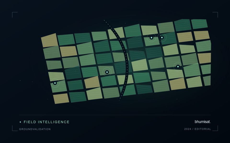
A workflow that succeeds on a small study area may encounter different constraints when the number of observations, locations, or users increases. Scaling requires attention to processing capacity, data organisation, reference coverage, and the effort needed to review results. This perspective looks beyond whether a calculation can run on a larger dataset. It asks whether the complete service can preserve its meaning, quality, and delivery commitments as its scope expands. The objective is a design that identifies bottlenecks early and increases throughput without silently weakening the evidence available to users.
This working guide considers designing ground validation for satellite products on highland coffee farms. The immediate decision is to select coffee plots for field review. Useful reference evidence includes shade cover, coffee growth stage and terrain-aware field notes. The case is an illustrative planning context, with assumptions to check against the actual sensor, landscape and project requirements.
Start with the intended claim
Validation tests how well a product represents a defined quantity under specified conditions. It differs from calibration, which adjusts an instrument or model using reference information. Begin with the claim the product needs to support: class membership, surface reflectance, canopy height, water quality, or an area estimate. State the required spatial scale, time interval, and acceptable error. These choices determine the reference method and sample design. Collecting convenient field points first and deciding later what they prove usually leaves important conditions untested.
Reference measurements also contain uncertainty. Positioning error can place a sample in the wrong satellite pixel, a point instrument may not represent a heterogeneous footprint, and measurements made on different dates can describe real surface change. Record instrument calibration, sampling protocols, timestamps, coordinates, observation conditions, and uncertainty where available. For interpreted labels, retain the evidence used, class rules, and ambiguous cases. Agreement among interpreters is useful to examine, but agreement alone does not guarantee that the shared interpretation is correct.
Keep the assessment independent
Separate validation data from observations used to fit thresholds, train models, select features, or tune processing. If assessment sites repeatedly influence revisions, they have become development data and a fresh independent assessment is needed. Spatially clustered samples can make performance look stronger when neighboring training and test locations share conditions. Use a design that reflects the target population and report its limitations, including inaccessible areas or environmental conditions missing from the sample.
Choose metrics that match the product. For categorical maps, examine a confusion matrix and errors for individual classes, not just overall agreement. For continuous measurements, report bias and a suitable error measure alongside sample count and the range of reference values. Plot residuals against relevant conditions to expose failures hidden by an average. For area estimates, carry the probability sampling design through estimation and uncertainty calculations. Preserve rejected matchups and their reasons so that quality screening remains auditable. A useful validation report explains where the product works, where evidence is sparse, and which errors matter for the intended decision. Publishing reference protocols and assessment code makes later comparisons more credible and helps others reproduce the evaluation.
The setting: Highland coffee farms
Coffee farms in highland terrain can combine coffee plants, shade trees, paths, soil and other crops within the same image footprint. The observed canopy may therefore describe the wider agroforestry system as much as the coffee itself. Before choosing an analytical method, decide whether the intended output concerns farm-level vegetation, shade management or a coffee-specific variable. These are distinct tasks and require different reference observations and levels of spatial detail.
Slope, aspect and changing illumination complicate comparisons between locations and acquisition dates. A dark patch on a shaded slope should not immediately be classified as stressed vegetation. Inspect terrain and shadow conditions alongside the image quality information, and compare areas with similar observation geometry where possible. Farm boundaries should also be checked carefully because small geolocation differences can move a sampling footprint from coffee into a neighbouring tree canopy or access track.
Field teams should document coffee stage, shade structure, recent pruning and the location of the plants or plots they measure. Samples collected beside a convenient path may not represent the full farm. A practical service could help organise visits or describe changes in farm cover, but claims about coffee condition or production need their own validation. Preserve these distinctions in the report so that a useful landscape observation is not presented as a plant-level diagnosis.
Define a representative reference sample
A reference sample should represent the situations in which a method will be used. Begin by defining the target population: locations, time periods, management conditions, surface types, or instrument states that belong within the intended application. A collection of convenient observations may be valuable for exploration, but it does not automatically support conclusions about that wider population. Make the scope of the sample visible before calculating a summary of performance.
Consider a stratified design when important conditions are unevenly represented. Relevant strata might include different landscape types, developmental stages, observation quality levels, or ranges of the variable being estimated. Choose sample locations within those groups using a documented rule, and retain the information needed to understand their selection. Where access restrictions affect the sample, record the excluded conditions so that the limits of the resulting evaluation remain clear.
Keep development and evaluation evidence separate where the purpose of the study requires an independent test. Nearby observations or repeated measurements can share information, so a random split of individual records may overstate independence. A split organised by location, period, or operational unit can provide a more demanding comparison. The appropriate design follows the intended deployment, the structure of the observations, and the errors that matter to the user.
Represent gaps without inventing observations
A monitoring sequence often contains periods without a usable observation. The reason may be cloud, shadow, missing coverage, a failed transfer, or a quality condition that excludes the data. Begin by representing these states explicitly. A missing observation is different from a low measurement, an unchanged surface, or a confirmed absence of the feature being studied. The distinction should survive both the analysis and the presentation of the result.
Define when a temporal gap is acceptable for the intended decision. A workflow may continue using the latest qualified observation, request another source, or suspend an alert until sufficient evidence is available. Whichever response is selected, show the age of the supporting observation. If interpolation is used for a suitable analytical purpose, preserve the distinction between an estimated value and a directly observed measurement, together with the assumptions needed to interpret it.
Review how gaps affect the coverage of the final evaluation. Locations with frequent missing data may differ systematically from those with regular observations. A performance estimate based only on clear, complete records can therefore describe a narrower population than the service is expected to support. Report usable coverage alongside analytical results and use recurring gaps to guide acquisition planning, reference collection, and the selection of complementary observation methods.
Bring the evidence back to the decision
Expansion should be guided by measured workload, visible quality conditions, and an understanding of which tasks require expert attention. Test the workflow under representative data volumes before treating a successful demonstration as evidence of operational capacity. Preserve a route for investigating individual observations even when most processing is automated. A scalable service keeps its results traceable and useful as it grows, with clear choices about where to automate, where to review, and where to invest in additional evidence.
Sources & further reading
Explore the bhumisat spacecraft concept and our vision towards 2030, or return to the journal.