A workflow that succeeds on a small study area may encounter different constraints when the number of observations, locations, or users increases. Scaling requires attention to processing capacity, data organisation, reference coverage, and the effort needed to review results. This perspective looks beyond whether a calculation can run on a larger dataset. It asks whether the complete service can preserve its meaning, quality, and delivery commitments as its scope expands. The objective is a design that identifies bottlenecks early and increases throughput without silently weakening the evidence available to users.
This working guide considers reading vertical forest structure from remote sensing in planted timber stands. The immediate decision is to review stand development and harvest boundaries. Useful reference evidence includes planting years, stand management and inventory plot measurements. The case is an illustrative planning context, with assumptions to check against the actual sensor, landscape and project requirements.
The setting: Planted timber stands
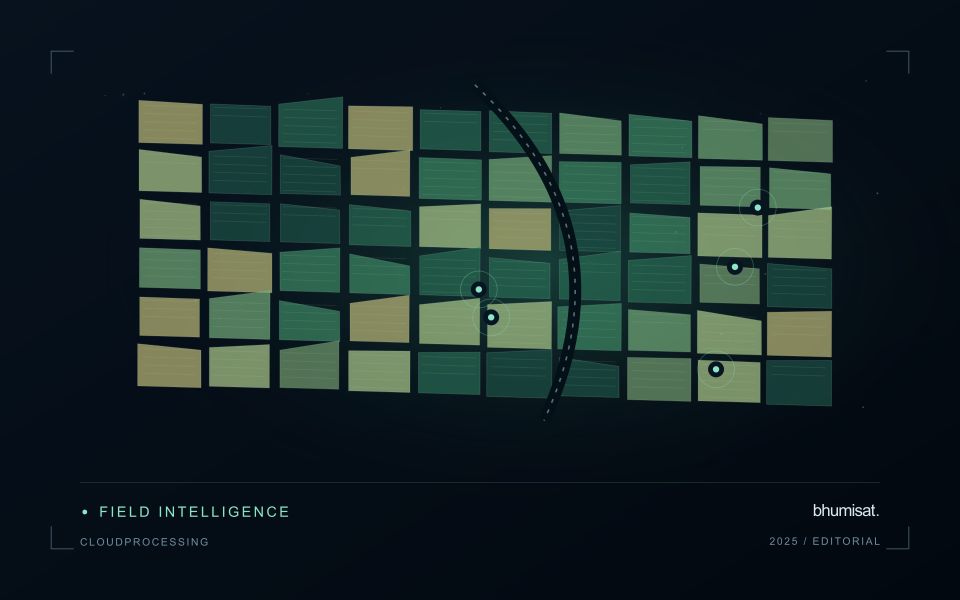
A planted timber estate commonly contains stands at different ages and management stages. Newly established areas, closed-canopy stands and recently harvested blocks should not be compared as though their image responses were expected to match. A stand register provides the context for interpreting these differences. Connect boundaries with planting year, species or management group where known, and the operations that could change the canopy during the reporting period.
Remote observations can help organise questions about stand development, harvest extent or unexpected changes within a block. The choice of spatial scale should reflect the stand size and the detail genuinely resolved by the data. Roads, firebreaks, unplanted strips and conservation areas may influence block summaries. When evaluating a trend, inspect image quality and maintain a consistent record of the area contributing valid observations rather than relying on an unqualified average.
Field inventory should record the variables required by the proposed application, such as tree dimensions, stand density or canopy condition, with a clear sampling design. An image-derived cover pattern is not automatically a measurement of timber volume. Relationships used for production or biomass estimation need evaluation across relevant ages and management conditions. A useful initial service may be an auditable stand-development and harvest-monitoring workflow whose mapped observations can be checked against operation records and independent field evidence.
Separate structure from greenness
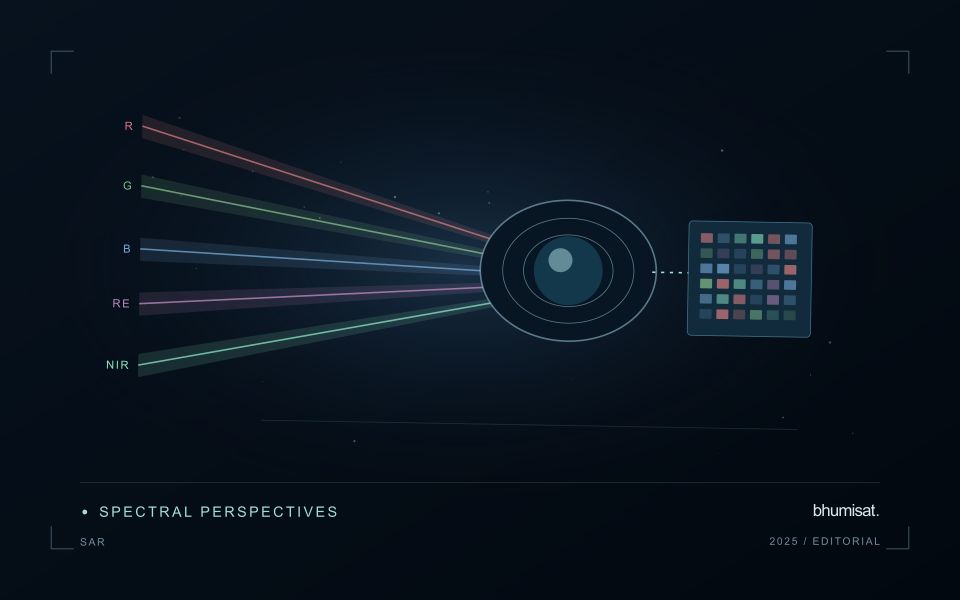
Two forests can look equally green from above while having very different heights, canopy gaps, and distributions of leaves and branches. Those structural differences influence habitat, stored carbon, and how light reaches the ground. Optical imagery mainly measures reflected radiation from surfaces visible to the sensor. It can support structural modeling, but vegetation indices alone do not directly measure a three dimensional canopy. A practical study starts by choosing a target such as canopy height, canopy cover, vertical foliage distribution, or aboveground biomass, because these quantities need different reference measurements.
Lidar estimates range from the travel time of laser energy. Returns distributed between the canopy top and ground contain information about vertical arrangement. Interpreting a waveform requires identifying the ground contribution and accounting for slope, footprint location, and signal quality. A laser footprint samples an area rather than every tree, and spaceborne footprints do not form a continuous wall to wall height survey. Radar offers complementary structural sensitivity, but moisture, viewing geometry, and saturation can weaken a simple relationship between backscatter and biomass.
Scale samples into useful maps
Before combining lidar footprints with imagery, filter observations using documented quality criteria and inspect their spatial distribution. Geolocation uncertainty matters near a forest edge, road, or abrupt height transition. Match field plots, lidar footprints, and predictor pixels at comparable spatial scales. The date difference also matters: a field measurement before harvesting should not be treated as a reference for an image after harvesting. Models should represent the forest types and height ranges where predictions will be used.
Use independent plots or withheld geographic regions to evaluate height and biomass predictions. Report bias and error across structural ranges, since a model can underestimate tall stands while appearing accurate on average. Biomass additionally depends on relationships among dimensions, species, wood density, and measured mass; a height map is therefore not automatically a carbon inventory. When producing regional summaries, distinguish uncertainty in individual predictions from uncertainty in an area estimate. Preserve sample locations, calibration assumptions, masks, and model versions. These details let readers judge whether a continuous map is supported by observations or is extrapolating into forests unlike those represented in the training data.
Locate the uncertainty that matters to the decision
An uncertainty budget is a practical description of where a result could become unreliable. Begin with the observation chain: acquisition, calibration, geographic matching, reference measurements, feature calculation, modelling, and delivery. Identify the assumptions at each stage and ask which could materially change the interpretation. The purpose is not to assign a precise number to every limitation. It is to locate the sources that deserve attention for the intended decision.
Separate limitations that can be measured from those that currently require a qualitative description. Repeated measurements may help characterise variability, while comparisons with independent references can reveal systematic differences. Some uncertainties interact, so combining individual error estimates without examining their relationships can produce a misleading impression of precision. Keep the method of assessment visible and avoid treating an unexamined assumption as though it were a negligible contribution.
Use the budget to prioritise further work. The largest visible source of variation is not always the one whose reduction would most improve the decision. Consider which additional observation, test, or contextual record would change confidence in an actionable way. Revisit the budget when the application, observation source, or deployment conditions change. This turns uncertainty analysis into a guide for improving the workflow rather than a qualification added only after the result has been delivered.
Define a representative reference sample
A reference sample should represent the situations in which a method will be used. Begin by defining the target population: locations, time periods, management conditions, surface types, or instrument states that belong within the intended application. A collection of convenient observations may be valuable for exploration, but it does not automatically support conclusions about that wider population. Make the scope of the sample visible before calculating a summary of performance.
Consider a stratified design when important conditions are unevenly represented. Relevant strata might include different landscape types, developmental stages, observation quality levels, or ranges of the variable being estimated. Choose sample locations within those groups using a documented rule, and retain the information needed to understand their selection. Where access restrictions affect the sample, record the excluded conditions so that the limits of the resulting evaluation remain clear.
Keep development and evaluation evidence separate where the purpose of the study requires an independent test. Nearby observations or repeated measurements can share information, so a random split of individual records may overstate independence. A split organised by location, period, or operational unit can provide a more demanding comparison. The appropriate design follows the intended deployment, the structure of the observations, and the errors that matter to the user.
Bring the evidence back to the decision
Expansion should be guided by measured workload, visible quality conditions, and an understanding of which tasks require expert attention. Test the workflow under representative data volumes before treating a successful demonstration as evidence of operational capacity. Preserve a route for investigating individual observations even when most processing is automated. A scalable service keeps its results traceable and useful as it grows, with clear choices about where to automate, where to review, and where to invest in additional evidence.
Sources & further reading
Explore the bhumisat spacecraft concept and our vision towards 2030, or return to the journal.