Remote observations show patterns, while practical decisions depend on explaining what those patterns could mean. Interpretation therefore requires more than locating a high or low value on a map. A useful analysis considers the timing of the observation, the physical processes that influence the measurement, and the information available from complementary sources. This perspective separates an observed signal from a proposed explanation and from an action recommended to a user. Keeping those stages distinct makes it easier to investigate alternative causes, communicate ambiguity, and choose a proportionate next step.
This working guide considers connecting drone surveys with satellite observations during multisensor field campaigns. The immediate decision is to align observations across measurement scales. Useful reference evidence includes coordinated timestamps, sample support and instrument reference records. The case is an illustrative planning context, with assumptions to check against the actual sensor, landscape and project requirements.
Give each platform a clear role
Drone surveys and satellites observe the same landscape at different scales and with different constraints. A drone can collect detailed local observations at a selected time, while satellites provide repeated coverage over larger regions. Combining them is useful when the local survey answers a specific question: checking crop rows, describing canopy gaps, measuring a surface, or supporting reference interpretation. Define that role before planning the flight. A detailed orthomosaic does not automatically become accurate reference data merely because its pixels are small.
Radiometric consistency requires attention to exposure settings, sensor response, illumination, and calibration targets where appropriate. Geometric quality depends on camera calibration, flight geometry, image overlap, tie points, and the accuracy of positioning and ground control. Surface reconstruction can struggle over water, moving vegetation, uniform textures, or repeated patterns. Keep independent checkpoints separate from control points used to fit the reconstruction, and evaluate horizontal and vertical accuracy against the requirements of the intended measurement.
Compare like with like
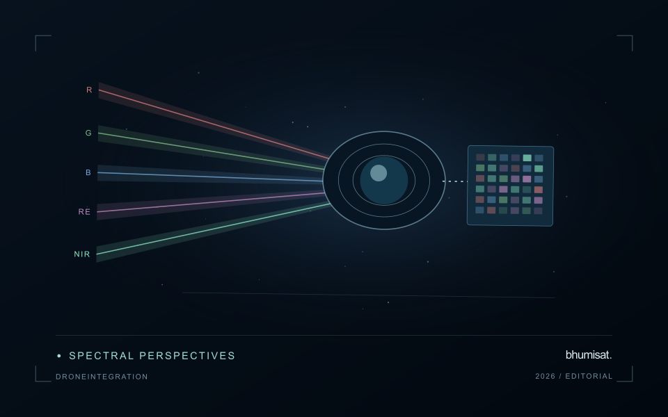
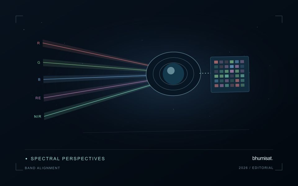
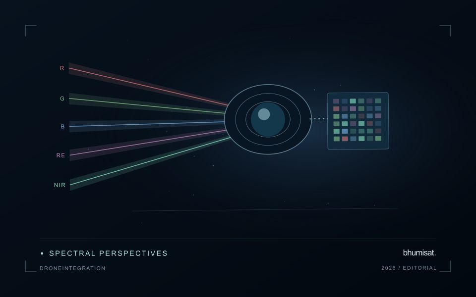
Align coordinate systems, vertical datums where relevant, and acquisition times before comparing products. A field can change after irrigation, rainfall, harvest, or a different sun angle, so a convenient date may not represent the satellite overpass. Satellite bands also have different spectral response functions from a drone camera. Matching band names does not guarantee that their reflectance values are equivalent. Describe these differences and select a comparison that the measurements can support.
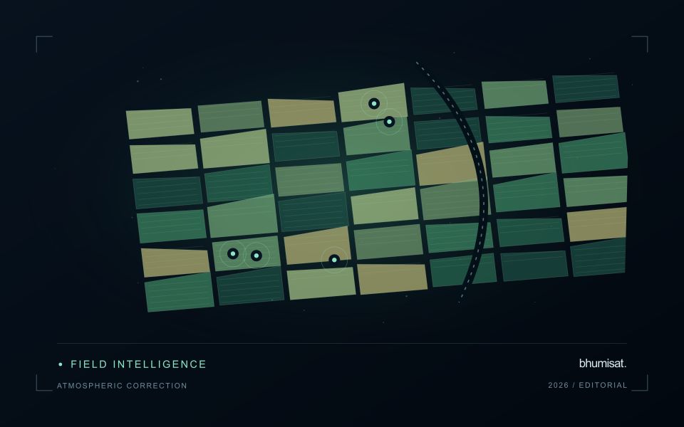
Aggregate drone observations to the satellite pixel footprint or another justified analysis unit rather than simply sharpening the satellite grid. Include edge effects, positional uncertainty, and spatial heterogeneity in the comparison. A satellite pixel may mix trees, soil, shade, and roads that the drone resolves individually. Sample drone sites across the conditions present in the larger region; surveying only easy access sites can bias a calibration model. Keep training and evaluation locations independent when drone products support machine learning. Deliver the local survey with flight dates, processing settings, calibration records, accuracy checks, and known gaps. The combined workflow should make the relationship between local detail and regional inference explicit, including where the drone sample does not justify extrapolation.
The setting: Multisensor field campaigns
A multisensor field campaign brings together observations that may represent different surfaces, times and spatial scales. A ground measurement can describe a small sample, a drone product a local scene and a satellite observation a wider footprint. Their values should not be expected to match automatically. Define the variable of interest and the area represented by each method before treating the campaign as a direct comparison between interchangeable measurements.
Coordination should account for acquisition timing, crop or environmental change, positioning and the conditions relevant to each instrument. Record whether a sample represents a plot interior, an edge mixture or another setting that influences its relationship with imagery. A common coordinate reference helps align the observations, but it does not remove differences in measurement support. Aggregation and comparison rules should be chosen to address those differences explicitly rather than only making the maps look aligned.
The evaluation should preserve uncertainty in both the reference data and the remotely sensed products. Include representative ordinary conditions as well as unusual sites, and keep development samples separate from independent assessment where a model is being tested. A successful relationship within one campaign does not establish transfer to all other settings. The useful outcome is a traceable account of how the observations relate, where they disagree and what those disagreements reveal about the proposed application.
Locate the uncertainty that matters to the decision
An uncertainty budget is a practical description of where a result could become unreliable. Begin with the observation chain: acquisition, calibration, geographic matching, reference measurements, feature calculation, modelling, and delivery. Identify the assumptions at each stage and ask which could materially change the interpretation. The purpose is not to assign a precise number to every limitation. It is to locate the sources that deserve attention for the intended decision.
Separate limitations that can be measured from those that currently require a qualitative description. Repeated measurements may help characterise variability, while comparisons with independent references can reveal systematic differences. Some uncertainties interact, so combining individual error estimates without examining their relationships can produce a misleading impression of precision. Keep the method of assessment visible and avoid treating an unexamined assumption as though it were a negligible contribution.
Use the budget to prioritise further work. The largest visible source of variation is not always the one whose reduction would most improve the decision. Consider which additional observation, test, or contextual record would change confidence in an actionable way. Revisit the budget when the application, observation source, or deployment conditions change. This turns uncertainty analysis into a guide for improving the workflow rather than a qualification added only after the result has been delivered.
Organise imagery and results for reliable retrieval
A useful storage design helps people and software find the right observation without relying on informal knowledge of folder names. Separate immutable source data from temporary processing files and delivered products. Give each observation a stable identifier and preserve its acquisition metadata alongside the file. A predictable organisation reduces the chance that a later analysis accidentally uses a preview, an outdated result, or an intermediate product whose meaning has not been documented.
Choose an indexing scheme that reflects the questions the workflow needs to answer. Location, acquisition time, source, product type, and processing version are often useful search dimensions. The physical arrangement of files can differ from the logical catalogue, provided that the relationship is maintained reliably. Record checksums or other integrity information where appropriate, and test whether an observation can be recovered using the catalogue rather than a particular operator's memory.
Define retention rules for source, intermediate, and delivered information. Some intermediate products are inexpensive to reproduce, while others embody costly preparation or expert review. Keep the inputs and configuration needed to rebuild a result before removing reproducible files. Test backup and recovery procedures with representative products, including their metadata and geographic references. Reliable retrieval is demonstrated by a successful reconstruction of useful information, rather than by the existence of an untested copy.
Bring the evidence back to the decision
A strong interpretation states what was observed, which explanations remain plausible, and what additional evidence would help distinguish them. Avoid presenting a convenient label as a confirmed cause when the measurements support only a broader pattern. Connect the proposed next step to the significance of the decision and the confidence available. This creates an interpretation that a field team, analyst, or project partner can examine, challenge, and improve as further observations become available.
Sources & further reading
Explore the bhumisat spacecraft concept and our vision towards 2030, or return to the journal.