Remote observations show patterns, while practical decisions depend on explaining what those patterns could mean. Interpretation therefore requires more than locating a high or low value on a map. A useful analysis considers the timing of the observation, the physical processes that influence the measurement, and the information available from complementary sources. This perspective separates an observed signal from a proposed explanation and from an action recommended to a user. Keeping those stages distinct makes it easier to investigate alternative causes, communicate ambiguity, and choose a proportionate next step.
This working guide considers turning collected imagery into delivered data in potato growing fields. The immediate decision is to focus scouting within potato fields. Useful reference evidence includes emergence records, canopy stage and representative plot observations. The case is an illustrative planning context, with assumptions to check against the actual sensor, landscape and project requirements.
The setting: Potato growing fields
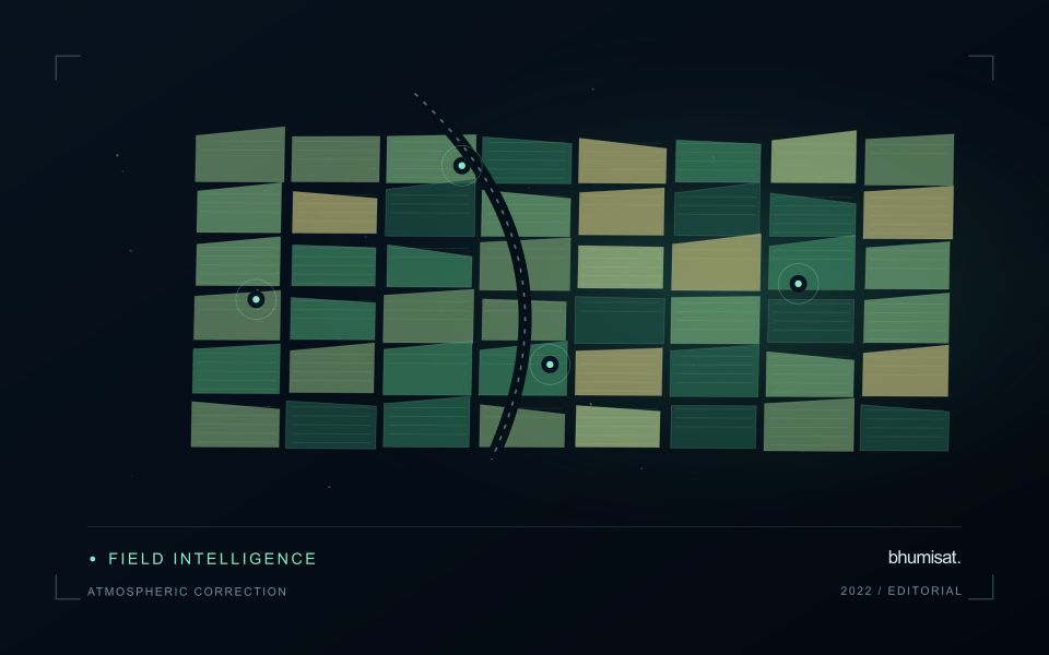
Potato monitoring begins with the distinction between the canopy visible from above and the crop component ultimately harvested below ground. Establishment timing, variety, row structure and management can create different canopy patterns across fields. An image service should specify whether it is supporting crop-stage assessment, identifying areas for inspection or estimating a defined production variable. These objectives require different reference measurements and should not be combined into one unqualified vegetation score.
Maintain a field timeline that includes planting, emergence and the operations that can affect canopy appearance. Early observations may contain a large soil contribution, while later observations may show a more continuous canopy. Cloud and shadow contamination, field edges and neighbouring land cover can alter summaries at either stage. Compare observations using suitable quality rules and retain the acquisition dates so that a recent-looking map does not conceal an old measurement.
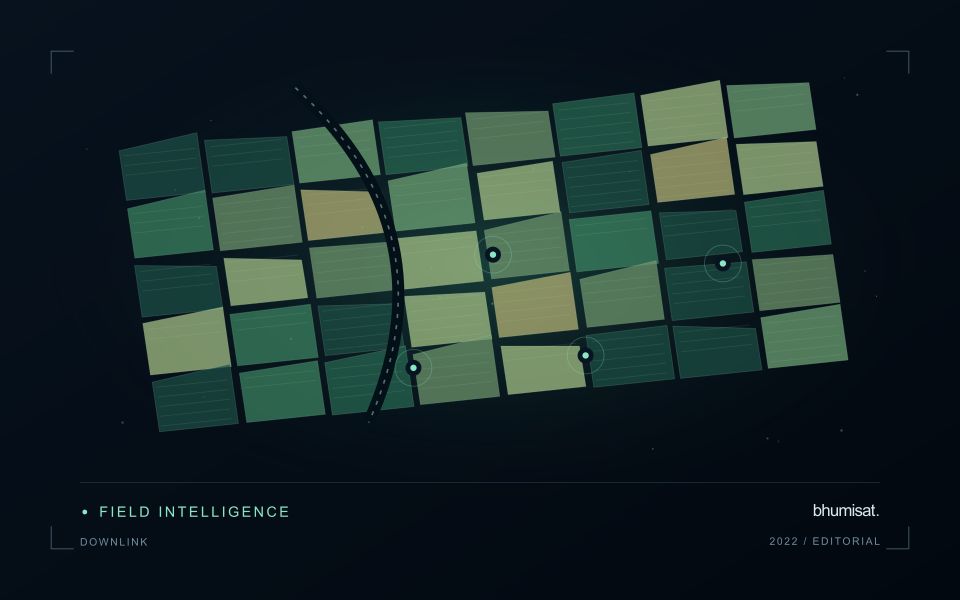
A field team should collect consistent crop-stage and canopy observations across both flagged and typical areas. Record management context and sampling support rather than relying on an isolated photograph. A vegetation change cannot establish the presence of a specific disease, and a canopy index is not a direct measurement of tuber yield. Evaluate any production model with appropriate harvest data and independent assessment, while keeping the simpler inspection-priority product transparent about what it actually observes.
Start with the data that must reach users
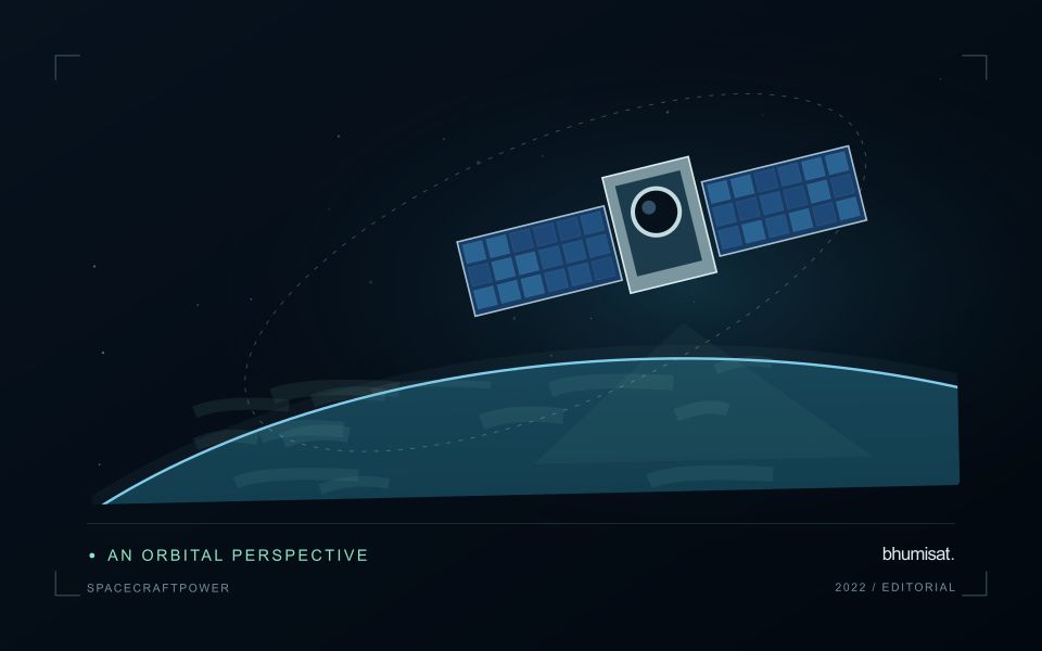
A satellite camera's collection rate and a radio's advertised bit rate do not determine how much useful imagery reaches the ground. The complete data path includes detector output, onboard processing, storage, contact scheduling, transmission and ground processing. Each stage can constrain delivery. Begin with an observation plan and estimate the data it generates, including spectral bands, sampling, encoding, metadata and housekeeping information.
Distinguish raw payload rate from the net rate available for science files. Framing, error control, protocol overhead and operational interruptions reduce effective throughput. Compression can lower volume, but its value depends on scene content and acceptable information loss. Test a representative range of imagery and assess whether any lossy approach alters the measurements needed by the application. A visually pleasing result is not sufficient evidence for quantitative analysis.
Model contacts, storage and recovery together
Ground contacts depend on orbit geometry, station location, visibility constraints and access to the station schedule. The highest rate may be available only during part of a pass. A link budget combines transmitter power, antenna gains, propagation loss, receiver performance and other losses to assess whether the required performance is feasible. Antenna orientation and spacecraft pointing must be consistent with imaging, power generation and other operating demands.
Use a time ordered simulation to track the stored data backlog. Add each planned acquisition and subtract the amount that can actually be delivered during usable contacts. Include missed passes, reduced rates and retransmission policy where relevant. Storage must accommodate plausible disruptions as well as nominal operation. Define priorities and deletion rules before the buffer fills, preserving the metadata needed to identify what was collected and what was lost.
The ground segment needs more than an antenna. It must authenticate commands where applicable, receive and verify files, detect gaps, maintain acquisition records and feed the processing pipeline. Measure latency from observation to the user's usable product, since a successfully received file may still wait for calibration or quality checks. End to end tests should exercise realistic file sizes and interrupted transfers. A sound delivery plan balances collection ambition with energy, contact time and processing capacity, so that an observation schedule produces a dependable flow of usable information.
Locate the uncertainty that matters to the decision
An uncertainty budget is a practical description of where a result could become unreliable. Begin with the observation chain: acquisition, calibration, geographic matching, reference measurements, feature calculation, modelling, and delivery. Identify the assumptions at each stage and ask which could materially change the interpretation. The purpose is not to assign a precise number to every limitation. It is to locate the sources that deserve attention for the intended decision.
Separate limitations that can be measured from those that currently require a qualitative description. Repeated measurements may help characterise variability, while comparisons with independent references can reveal systematic differences. Some uncertainties interact, so combining individual error estimates without examining their relationships can produce a misleading impression of precision. Keep the method of assessment visible and avoid treating an unexamined assumption as though it were a negligible contribution.
Use the budget to prioritise further work. The largest visible source of variation is not always the one whose reduction would most improve the decision. Consider which additional observation, test, or contextual record would change confidence in an actionable way. Revisit the budget when the application, observation source, or deployment conditions change. This turns uncertainty analysis into a guide for improving the workflow rather than a qualification added only after the result has been delivered.
Deliver quality flags that users can interpret
Quality information should describe the condition of an observation in terms that remain useful through the workflow. A single valid or invalid label may be sufficient for some calculations, but operational users often need to know why an observation was qualified. Distinguish acquisition limitations, processing failures, uncertain reference matches, and conditions that make interpretation ambiguous. These categories point towards different responses and should not be merged without a clear purpose.
Define a small, documented set of flags with stable meanings. Record whether a flag applies to a complete scene, a geographic unit, an individual measurement, or a derived result. A unit containing a mixture of qualified and unqualified observations may also require a coverage measure. Include the rule used to combine flags when summarising data so that a favourable average does not conceal a substantial fraction of unusable input.
Test the flags with the people receiving the product. Ask what they would do differently for each state and whether the terminology supports that choice. Keep the original flags available even if the interface presents a simpler summary. When flag definitions change, version the rules and review their effects on historical comparisons. Useful quality communication makes the condition of the evidence visible at the moment when a user decides how much confidence to place in the result.
Bring the evidence back to the decision
A strong interpretation states what was observed, which explanations remain plausible, and what additional evidence would help distinguish them. Avoid presenting a convenient label as a confirmed cause when the measurements support only a broader pattern. Connect the proposed next step to the significance of the decision and the confidence available. This creates an interpretation that a field team, analyst, or project partner can examine, challenge, and improve as further observations become available.
Sources & further reading
Explore the bhumisat spacecraft concept and our vision towards 2030, or return to the journal.