Remote observations show patterns, while practical decisions depend on explaining what those patterns could mean. Interpretation therefore requires more than locating a high or low value on a map. A useful analysis considers the timing of the observation, the physical processes that influence the measurement, and the information available from complementary sources. This perspective separates an observed signal from a proposed explanation and from an action recommended to a user. Keeping those stages distinct makes it easier to investigate alternative causes, communicate ambiguity, and choose a proportionate next step.
This working guide considers keeping earth observation data usable over time in banana plantation units. The immediate decision is to identify plantation units for closer review. Useful reference evidence includes plant age mixture, canopy continuity and dated field inspections. The case is an illustrative planning context, with assumptions to check against the actual sensor, landscape and project requirements.
The setting: Banana plantation units
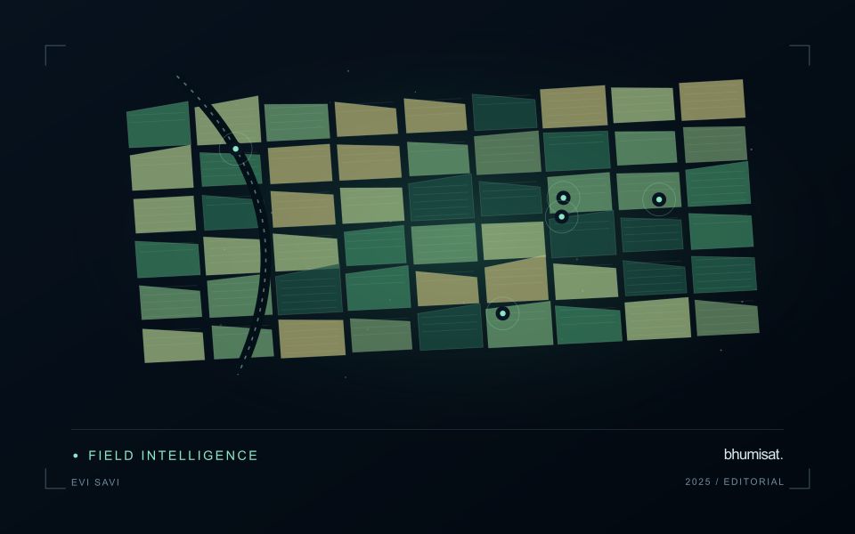
Banana production units can contain plants at different stages within a continuously managed system. Replanting, harvesting, leaf management and weather effects can change the canopy pattern at a local scale. A monitoring service should account for that mixture rather than expecting every unit to follow one simple seasonal curve. Define the management boundaries and record how stages are organised within them before interpreting a difference between neighbouring plantation areas.
In humid settings, clouds and shadows can reduce the number of usable optical observations. Retain those gaps explicitly and examine whether the information remains current enough for the intended inspection process. Plantation roads, drainage features and open replacement areas can influence a unit average. Where the proposed output is more detailed than the underlying image support, consider a broader summary or complementary field and drone observations instead of implying plant-level certainty.
Field teams should record stage mixture, canopy condition, recent management and visible events relevant to the sampled area. A vegetation anomaly may justify a visit, but it cannot identify a specific disease or establish production loss on its own. Evaluate models and inspection priorities against representative observations, including normal-looking units. Reports should distinguish the remotely observed pattern from the explanation established during follow-up, allowing plantation staff to use both sources of evidence appropriately.
Define the responsibilities around the files
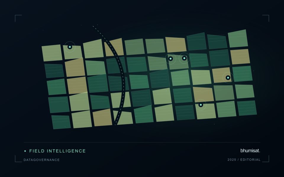
Data governance is the set of practical decisions that makes an archive trustworthy and usable. It covers who can publish a product, who maintains its description, how corrections are approved and how users discover changes. These responsibilities matter even for a small project. Without them, an attractive map may become detached from its source scenes, processing method and known limitations.
Assign stable identifiers to datasets and distinguish a collection from its individual files. Record the producer, contact route, geographic extent, time coverage, coordinate reference system, units and missing value conventions. Describe the processing level and whether the values represent measurements, corrected observations or model estimates. A clear data dictionary is especially important when a compact code or numeric flag carries a meaning that would otherwise remain implicit.
Preserve context as products evolve
Maintain provenance from source acquisition through processing and publication. Preserve source identifiers, algorithm versions, parameter settings and links to validation material. When a correction changes values, create a traceable version rather than silently replacing a file and leaving its description untouched. Explain the reason for the revision and whether earlier analyses should be revisited. Checksums help detect changes or corruption but cannot establish that a scientific interpretation is correct.
Access rules should reflect the actual data and agreements involved. Public satellite imagery does not automatically make every associated field record or derived dataset unrestricted. Location records may reveal sensitive ecological sites, and field photographs may include identifiable people. Review the relevant terms before combining or distributing sources, and express reuse conditions in plain language with a suitable license where appropriate. Preserve acknowledgement and citation requirements alongside the data.
Plan retention, backups and recovery before storage becomes crowded. Keep essential documentation and reproducible processing materials with the deliverable, while identifying intermediate files that can be regenerated. Test that a restored copy opens correctly and has the expected metadata. A release checklist should include file integrity, machine readable metadata, readable documentation and a useful contact path. Periodic stewardship reviews can detect broken links, obsolete formats and orphaned responsibilities. The aim is a product that remains interpretable after the original analyst has moved on.
Locate the uncertainty that matters to the decision
An uncertainty budget is a practical description of where a result could become unreliable. Begin with the observation chain: acquisition, calibration, geographic matching, reference measurements, feature calculation, modelling, and delivery. Identify the assumptions at each stage and ask which could materially change the interpretation. The purpose is not to assign a precise number to every limitation. It is to locate the sources that deserve attention for the intended decision.
Separate limitations that can be measured from those that currently require a qualitative description. Repeated measurements may help characterise variability, while comparisons with independent references can reveal systematic differences. Some uncertainties interact, so combining individual error estimates without examining their relationships can produce a misleading impression of precision. Keep the method of assessment visible and avoid treating an unexamined assumption as though it were a negligible contribution.
Use the budget to prioritise further work. The largest visible source of variation is not always the one whose reduction would most improve the decision. Consider which additional observation, test, or contextual record would change confidence in an actionable way. Revisit the budget when the application, observation source, or deployment conditions change. This turns uncertainty analysis into a guide for improving the workflow rather than a qualification added only after the result has been delivered.
Deliver quality flags that users can interpret
Quality information should describe the condition of an observation in terms that remain useful through the workflow. A single valid or invalid label may be sufficient for some calculations, but operational users often need to know why an observation was qualified. Distinguish acquisition limitations, processing failures, uncertain reference matches, and conditions that make interpretation ambiguous. These categories point towards different responses and should not be merged without a clear purpose.
Define a small, documented set of flags with stable meanings. Record whether a flag applies to a complete scene, a geographic unit, an individual measurement, or a derived result. A unit containing a mixture of qualified and unqualified observations may also require a coverage measure. Include the rule used to combine flags when summarising data so that a favourable average does not conceal a substantial fraction of unusable input.
Test the flags with the people receiving the product. Ask what they would do differently for each state and whether the terminology supports that choice. Keep the original flags available even if the interface presents a simpler summary. When flag definitions change, version the rules and review their effects on historical comparisons. Useful quality communication makes the condition of the evidence visible at the moment when a user decides how much confidence to place in the result.
Bring the evidence back to the decision
A strong interpretation states what was observed, which explanations remain plausible, and what additional evidence would help distinguish them. Avoid presenting a convenient label as a confirmed cause when the measurements support only a broader pattern. Connect the proposed next step to the significance of the decision and the confidence available. This creates an interpretation that a field team, analyst, or project partner can examine, challenge, and improve as further observations become available.
Sources & further reading
Explore the bhumisat spacecraft concept and our vision towards 2030, or return to the journal.