A convincing image can still contain measurements that are unsuitable for a particular task. Quality control asks whether the inputs, transformations, and outputs meet the requirements of the intended application. This perspective follows evidence through the workflow, from acquisition metadata and reference observations to the final interpretation. It encourages teams to define acceptance conditions before seeing the result, rather than adjusting them to favour a preferred conclusion. The purpose is a repeatable way to distinguish usable observations, observations requiring qualification, and observations that should be excluded from a decision.
This working guide considers estimating coastal water quality from ocean colour within seasonal wetland areas. The immediate decision is to review changes in inundation and cover. Useful reference evidence includes water presence, vegetation structure and dated site observations. The case is an illustrative planning context, with assumptions to check against the actual sensor, landscape and project requirements.
The setting: Seasonal wetland areas
A seasonal wetland is a changing combination of open water, wet soil, emergent vegetation and drier surfaces. An image feature that separates water from land during one period may behave differently when vegetation becomes denser or the surface changes. Define the mapping objective and its seasonal context carefully. Monitoring visible inundation, describing vegetation change and assessing an ecological outcome require different reference information and should not be merged into one unqualified indicator.
The observation footprint may mix several wetland components, particularly along narrow channels and patchy margins. Optical data can be limited by clouds and by vegetation that obscures water below. Complementary observations can add useful information, but they describe different physical properties and need their own interpretation. Retain dates, quality information and the spatial support used in each result so that a user can judge what the observations actually establish.
Field validation should record water presence and vegetation conditions separately at known locations. Sampling only easily reached dry margins may misrepresent the interior or the range of seasonal states. A change in mapped extent can help select sites for review without explaining its cause. More specific conclusions about habitat condition or management success need measurements aligned with those outcomes. A transparent monitoring record should distinguish observed surface changes from interpretations supported by additional field evidence.
Identify the quantity behind the colour
Coastal water colour carries information about materials that absorb and scatter light, including phytoplankton pigments, suspended particles, and dissolved organic matter. A satellite measures radiation reaching the sensor; estimating water quality requires separating the atmospheric contribution and then interpreting the remaining water signal. Specify the target variable and units before choosing an algorithm. Chlorophyll concentration, turbidity, suspended sediment concentration, and water clarity are related in some settings, but they are not interchangeable measurements.
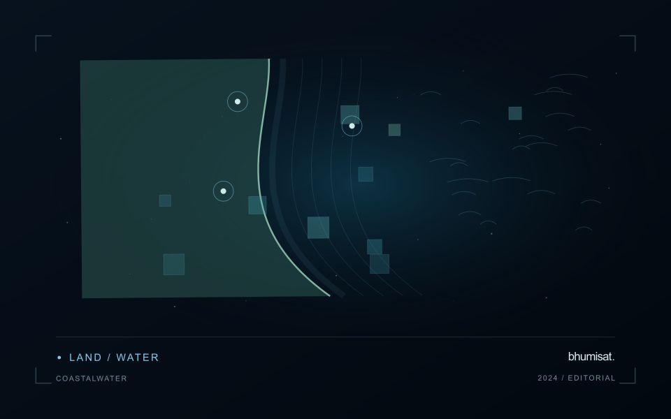
Coasts are especially difficult because several optically active constituents can vary independently. A band ratio calibrated for clear offshore water may fail in a sediment rich estuary. Reflected light from nearby land can contaminate coastal pixels, sun glint can dominate the surface signal, and shallow bottoms can influence apparent colour. Cloud, haze, whitecaps, and mixed land water pixels further reduce usable coverage. Selecting an atmospheric correction method and applying its quality flags are scientific choices, not merely file preparation. Examine spectra and spatial patterns before accepting a plausible looking concentration map.
Match observations to a changing coast
Design validation around the speed of coastal change. Field measurements taken several hours away from the satellite overpass may describe another water mass after tides, currents, or river discharge have shifted conditions. Record sampling time, position, depth, instrument calibration, laboratory methods, and the spatial variability around each station. Satellite pixels integrate an area, while a bottle sample represents a much smaller volume. Use suitable matchups and inspect surrounding pixels rather than pairing every station with the nearest value automatically.
Develop or select retrieval relationships using samples that span the expected range of conditions. Reserve independent data for evaluation and report bias, error, valid sample count, and cases rejected by quality screening. Compare algorithms on the same matchups to avoid misleading differences caused by sampling. Provide acquisition dates, water masks, uncertainty information, and clearly labeled units with every map. A surface optical product does not establish conditions throughout the water column, and a pigment estimate does not by itself identify a harmful species or toxin. Used with field observations and local hydrology, the imagery can reveal spatial gradients and help prioritize where additional sampling is needed.
Design an evaluation that reflects deployment
A model evaluation should resemble the conditions in which the model will be used. Start by identifying which relationships the development data share: nearby locations, repeated observations of the same unit, common collection teams, or measurements from a single period. These relationships can make records less independent than they appear. An evaluation that ignores them may test the ability to recognise familiar conditions rather than the ability to operate in a new setting.
Choose a split strategy that matches the intended transfer. Holding out locations, seasons, operational units, or acquisition conditions can answer different questions. Document which question each split is designed to address, and keep the held-out evidence separate while selecting features and tuning the method. Repeatedly inspecting the same evaluation set to improve a model gradually makes that set part of development, even if it retains its original label.
Report results at a scale that is meaningful to the user. A strong average can hide poor performance for important subgroups or unusual conditions. Examine error patterns and retain examples of both successful and unsuccessful predictions. Where the evidence covers only a limited range of conditions, describe that range explicitly. The evaluation then becomes a practical guide to suitable use, further testing, and the collection of additional reference observations.
Match the timing of reference observations
The value of a reference measurement depends partly on how well its timing matches the observation being evaluated. A surface, crop, water body, or instrument state may change between the two measurements. Start by documenting the acquisition time of every source and the period over which the reference observation applies. Avoid treating a date entered during data upload as though it were necessarily the time when the measurement was collected.
Define an acceptable timing relationship for the application. A slowly changing structural feature may tolerate a broader comparison window than a rapidly changing surface condition. The window should be justified by the process being studied and by any available contextual records. If conditions change within that period, consider separating the observations into suitable groups rather than combining them under a single assumption of comparability.
Preserve information about interventions and events between observations. A management operation, rainfall episode, disturbance, or change in sensor configuration can alter the interpretation of a comparison. Record the event and decide whether the pair remains suitable for evaluation. Where the timing mismatch cannot be resolved, describe the comparison as qualified evidence. This is more informative than allowing an uncertain match to influence a performance statistic without explanation.
Bring the evidence back to the decision
Quality control is most useful when its results travel with the information being delivered. Preserve the reasons for accepting or rejecting an observation, and expose limitations that could change the user's interpretation. Review recurring failures as clues about the design of the workflow. A clear quality record supports consistent comparisons between operators and processing versions, while helping the team decide whether a problem originates in acquisition, preparation, interpretation, or the underlying observation requirements.
Sources & further reading
Explore the bhumisat spacecraft concept and our vision towards 2030, or return to the journal.