Every observation and interpretation contains uncertainty, but the sources and consequences of that uncertainty differ between applications. Some arise from acquisition conditions, others from reference measurements, processing choices, or the transfer of a model to a new setting. This perspective examines how those sources affect the decision a user is considering. It encourages teams to describe uncertainty in a form that can influence action, rather than adding a generic qualification at the end of a report. The objective is to support proportionate decisions while keeping the limits of the available evidence understandable.
This working guide considers estimating coastal water quality from ocean colour over inland reservoir waters. The immediate decision is to select water-sampling locations. Useful reference evidence includes water samples, acquisition timing and reservoir-level context. The case is an illustrative planning context, with assumptions to check against the actual sensor, landscape and project requirements.
Identify the quantity behind the colour
Coastal water colour carries information about materials that absorb and scatter light, including phytoplankton pigments, suspended particles, and dissolved organic matter. A satellite measures radiation reaching the sensor; estimating water quality requires separating the atmospheric contribution and then interpreting the remaining water signal. Specify the target variable and units before choosing an algorithm. Chlorophyll concentration, turbidity, suspended sediment concentration, and water clarity are related in some settings, but they are not interchangeable measurements.
Coasts are especially difficult because several optically active constituents can vary independently. A band ratio calibrated for clear offshore water may fail in a sediment rich estuary. Reflected light from nearby land can contaminate coastal pixels, sun glint can dominate the surface signal, and shallow bottoms can influence apparent colour. Cloud, haze, whitecaps, and mixed land water pixels further reduce usable coverage. Selecting an atmospheric correction method and applying its quality flags are scientific choices, not merely file preparation. Examine spectra and spatial patterns before accepting a plausible looking concentration map.
Match observations to a changing coast
Design validation around the speed of coastal change. Field measurements taken several hours away from the satellite overpass may describe another water mass after tides, currents, or river discharge have shifted conditions. Record sampling time, position, depth, instrument calibration, laboratory methods, and the spatial variability around each station. Satellite pixels integrate an area, while a bottle sample represents a much smaller volume. Use suitable matchups and inspect surrounding pixels rather than pairing every station with the nearest value automatically.
Develop or select retrieval relationships using samples that span the expected range of conditions. Reserve independent data for evaluation and report bias, error, valid sample count, and cases rejected by quality screening. Compare algorithms on the same matchups to avoid misleading differences caused by sampling. Provide acquisition dates, water masks, uncertainty information, and clearly labeled units with every map. A surface optical product does not establish conditions throughout the water column, and a pigment estimate does not by itself identify a harmful species or toxin. Used with field observations and local hydrology, the imagery can reveal spatial gradients and help prioritize where additional sampling is needed.
The setting: Inland reservoir waters
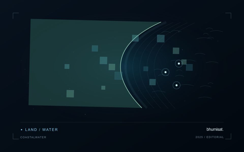
A reservoir image records water alongside shorelines, shallow areas, vegetation and surrounding land. The mixture visible at its margins changes as water level varies. A monitoring programme should distinguish mapping water extent from estimating a particular water-quality variable. These tasks may share observations, but they require different reference data and different rules for excluding surfaces that do not represent the open water of interest.
Optical interpretation depends on atmospheric conditions, surface reflections and the substances influencing the water signal. A bright patch could have several explanations, so an image feature should be treated as a question for investigation unless its relationship with a defined variable has been evaluated. Review clouds, shadows, sun glint and adjacency to bright land. Sampling footprints near a shoreline may need separate treatment because their measurements can include both land and water.
Field validation should connect each water sample to its location, collection time and the conditions relevant to the acquisition. A sample taken after a major change in inflow may not represent what the satellite observed earlier. Include different parts of the reservoir and the range of conditions expected in use. The final product should communicate whether it shows a spectral pattern, a calibrated estimate or a confirmed sampling result, rather than presenting those forms of evidence as identical.
Prioritise alerts using evidence and consequence
An alert is a request for attention, so its design should consider both the evidence available and the cost of responding. Begin by distinguishing a measured change, a proposed interpretation, and the action expected from the recipient. A large numerical difference is not automatically the most urgent case. The significance of the location, the age of the observation, the confidence in the interpretation, and the consequences of delay can all influence priority.
Create a review queue with enough context to support consistent decisions. Useful information can include the supporting dates, quality qualifications, previous observations, geographic unit, and the reason the case entered the queue. Define when an alert can be closed, escalated, or held for another observation. A documented rule is easier to improve than an informal practice that depends entirely on the memory of the operator reviewing the result.
Collect feedback from inspections and operational responses. Record alerts that led to a useful finding, alerts that required no action, and important conditions that the system failed to flag. Review these outcomes across different settings rather than relying only on a total count of alerts. The objective is a queue that directs limited attention towards meaningful decisions, while generating evidence for adjusting thresholds, improving context, and reducing repeated sources of unnecessary work.
Deliver quality flags that users can interpret
Quality information should describe the condition of an observation in terms that remain useful through the workflow. A single valid or invalid label may be sufficient for some calculations, but operational users often need to know why an observation was qualified. Distinguish acquisition limitations, processing failures, uncertain reference matches, and conditions that make interpretation ambiguous. These categories point towards different responses and should not be merged without a clear purpose.
Define a small, documented set of flags with stable meanings. Record whether a flag applies to a complete scene, a geographic unit, an individual measurement, or a derived result. A unit containing a mixture of qualified and unqualified observations may also require a coverage measure. Include the rule used to combine flags when summarising data so that a favourable average does not conceal a substantial fraction of unusable input.
Test the flags with the people receiving the product. Ask what they would do differently for each state and whether the terminology supports that choice. Keep the original flags available even if the interface presents a simpler summary. When flag definitions change, version the rules and review their effects on historical comparisons. Useful quality communication makes the condition of the evidence visible at the moment when a user decides how much confidence to place in the result.
Bring the evidence back to the decision
Useful uncertainty communication identifies the limitation, explains how it could affect the result, and connects it to a practical response. Some decisions can proceed with a qualified estimate; others require another observation or an independent check. Preserve uncertainty information through processing and delivery so that it is available at the point of use. This makes the analysis more accountable and gives the team a clearer basis for deciding which additional evidence would most improve the outcome.
Sources & further reading
Explore the bhumisat spacecraft concept and our vision towards 2030, or return to the journal.