A method that produces a plausible result has not automatically demonstrated that it works for its intended users. Validation requires a defined question, suitable reference evidence, and an evaluation design that reflects how the method will be used. This perspective examines which observations should be compared, how they should be sampled, and which errors matter in practice. It also considers the difference between evidence used to develop a method and evidence reserved for evaluating it. The objective is a test that can reveal weaknesses as well as confirm useful performance.
This working guide considers atmospheric correction for comparable imagery around forest fragment edges. The immediate decision is to investigate changes near forest boundaries. Useful reference evidence includes edge locations, neighbouring land use and canopy inspections. The case is an illustrative planning context, with assumptions to check against the actual sensor, landscape and project requirements.
Know which reflectance product is being compared
An optical satellite measures a signal that has interacted with both the surface and the atmosphere. Atmospheric correction estimates a surface-related reflectance quantity by accounting for relevant atmospheric contributions under a set of assumptions. This makes many comparisons more meaningful, especially across dates, but it does not turn every pixel into an exact ground measurement. The corrected product still carries uncertainty and may be unsuitable where clouds, strong haze, unusual illumination or difficult surface conditions violate the assumptions used by the processing method.
The processing level should match the analytical purpose. A visually useful image, a top-of-atmosphere reflectance product and a surface reflectance product can all represent the same acquisition while supporting different interpretations. Mixing these products inside one time series can create a discontinuity unrelated to the land. Record the product definition, processing version and quality information. Apply stored scale factors and offsets correctly before using numerical values in an index or model, and avoid assuming that all products from a named mission follow identical conventions.
Evaluate correction quality in the target landscape
A correction method should be examined in the landscape where its output will be used. Water, bright soil, complex terrain and vegetation can pose different challenges. Inspect the associated quality flags and review suspicious patterns against image context rather than accepting every corrected value automatically. Compare multiple dates and include stable reference areas when appropriate. A sudden change affecting many unrelated surfaces may indicate an acquisition or processing issue that deserves investigation before it is interpreted as an agricultural or environmental event.
A robust workflow treats correction quality and observation suitability as related but distinct decisions. Atmospheric correction does not remove clouds from the ground, and it does not resolve all effects of shadow, viewing geometry or surface mixing. Retain a policy for excluding unsuitable measurements and communicating gaps. If a processor update changes the historical record, assess the effect on derived statistics and alerts. The practical aim is a consistently defined observation series whose remaining limitations are understood, so that a user can evaluate a surface interpretation against the quality of its inputs.
The setting: Forest fragment edges
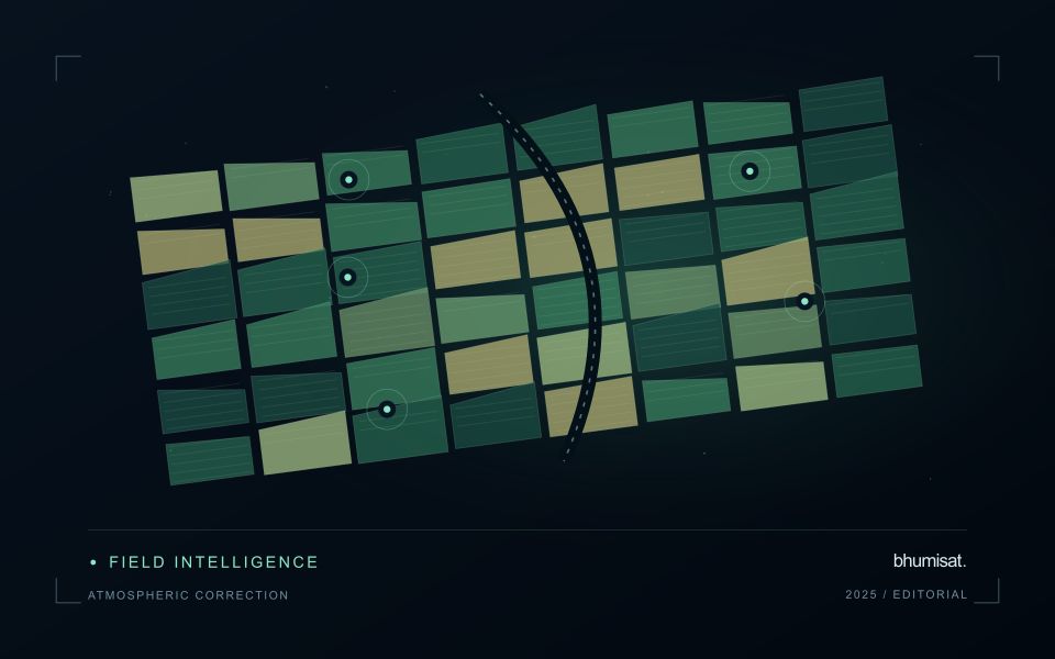
A forest fragment is influenced by the land covers and activities around its boundary. At image scale, an edge observation may combine trees, fields, roads, buildings or exposed ground. A change in that mixture can be important, but it should not automatically be interpreted as a change within the forest interior. Define the monitoring unit and distinguish questions about boundary movement, canopy condition and the surrounding land-use pattern before selecting a method.
Geometric consistency is particularly important where a narrow strip or a small patch is being compared between dates. A slight shift in an image or boundary can change the proportion of forest assigned to an observation. Review alignment and use measurements suited to the actual patch size. Retain information about cloud quality, valid coverage and acquisition dates, especially where a proposed change is supported by only a small number of observations.
Field validation should sample edge and interior settings separately when their interpretation differs. Record neighbouring land use, the position of the observed boundary and any evidence of recent disturbance or management. A general vegetation score cannot establish the ecological condition of a fragment on its own. A practical product can help identify boundary changes and inspection priorities, while more specific conclusions about habitat or forest health require measurements designed to address those outcomes directly.
Establish a metadata contract
Define a small set of metadata that every observation and derived product must carry through the workflow. Useful fields include a stable identifier, acquisition time, geographic reference, spatial coverage, measurement units, source version, and processing status. The purpose is not to collect every possible detail. It is to preserve the information required to interpret, compare, locate, and reproduce the observations that the application depends on.
Specify field names, allowed formats, and the meaning of missing values. A blank field, a value of zero, and a measurement below a detection threshold are different states and should remain distinguishable. Time zones, coordinate order, and unit conversions deserve particular attention because inconsistent conventions can produce plausible-looking results that are difficult to diagnose. Validate the metadata when information enters the system, while the source and collection context remain available.
Treat the metadata contract as part of the delivery interface. A product passed to another team should retain the identifiers needed to trace its source and processing history. If a transformation changes the meaning of a field, create a new field or document the change rather than reusing the original name silently. A clear contract reduces ambiguity between field collectors, analysts, software components, and the eventual users of the information.
Locate the uncertainty that matters to the decision
An uncertainty budget is a practical description of where a result could become unreliable. Begin with the observation chain: acquisition, calibration, geographic matching, reference measurements, feature calculation, modelling, and delivery. Identify the assumptions at each stage and ask which could materially change the interpretation. The purpose is not to assign a precise number to every limitation. It is to locate the sources that deserve attention for the intended decision.
Separate limitations that can be measured from those that currently require a qualitative description. Repeated measurements may help characterise variability, while comparisons with independent references can reveal systematic differences. Some uncertainties interact, so combining individual error estimates without examining their relationships can produce a misleading impression of precision. Keep the method of assessment visible and avoid treating an unexamined assumption as though it were a negligible contribution.
Use the budget to prioritise further work. The largest visible source of variation is not always the one whose reduction would most improve the decision. Consider which additional observation, test, or contextual record would change confidence in an actionable way. Revisit the budget when the application, observation source, or deployment conditions change. This turns uncertainty analysis into a guide for improving the workflow rather than a qualification added only after the result has been delivered.
Bring the evidence back to the decision
The validation record should explain the population represented by the test, the reference observations used, and the limitations of the comparison. Report meaningful errors alongside useful successes, and retain examples that challenge the method. Treat wider deployment as a new opportunity to evaluate transfer across relevant conditions. A well-designed validation programme gives users a defensible basis for deciding where the method is useful, where additional evidence is needed, and where another approach may be appropriate.
Sources & further reading
Explore the bhumisat spacecraft concept and our vision towards 2030, or return to the journal.