Comparisons through time are valuable only when the observations are sufficiently comparable for the question being asked. A difference between dates can reflect real change, a normal stage in a seasonal cycle, or a difference in how the surface was observed. This perspective examines the reference period, the timing of acquisitions, and the contextual records needed to interpret a sequence. It encourages the use of appropriate baselines rather than treating every previous observation as an equivalent benchmark. The objective is to identify changes that remain meaningful after normal variation and measurement conditions are considered.
This working guide considers atmospheric correction for comparable imagery in agricultural payload studies. The immediate decision is to define testable agricultural observation requirements. Useful reference evidence includes application trials and traceable payload measurement specifications. The case is an illustrative planning context, with assumptions to check against the actual sensor, landscape and project requirements.
The setting: Agricultural payload studies
An agricultural satellite payload study should begin with the information needed by its intended users. A proposed observation might support crop-stage comparison, vegetation mapping or a field-inspection priority, and each use can imply different requirements. A list of spectral channels is only one part of that definition. The study should establish which variable or pattern is being investigated, the landscape scale at which it matters and the evidence that would show the resulting information is useful.
Candidate methods can be explored using suitable existing imagery and field measurements before the independent payload design is finalised. These trials help identify which observations add useful information and which conditions create ambiguity. Record the spatial support, acquisition timing and calibration assumptions behind the results. Performance demonstrated in one application setting should remain evidence for that setting until the wider range of crops, management systems and conditions has been evaluated.
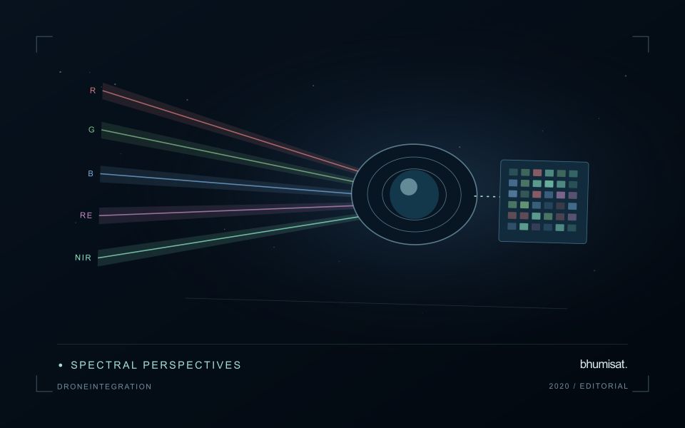
Payload requirements should connect those findings to measurable instrument and system properties. Spectral response, image geometry, radiometric consistency and delivery timing belong in the same discussion as platform constraints. A concept illustration does not establish that these requirements have already been met. The practical output of this stage is a traceable set of application needs, test methods and design decisions, allowing researchers and engineers to discuss what should be demonstrated before stronger mission claims are made.
Know which reflectance product is being compared
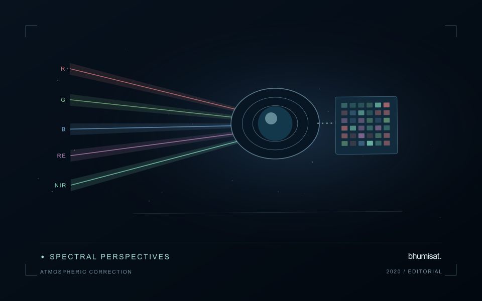
An optical satellite measures a signal that has interacted with both the surface and the atmosphere. Atmospheric correction estimates a surface-related reflectance quantity by accounting for relevant atmospheric contributions under a set of assumptions. This makes many comparisons more meaningful, especially across dates, but it does not turn every pixel into an exact ground measurement. The corrected product still carries uncertainty and may be unsuitable where clouds, strong haze, unusual illumination or difficult surface conditions violate the assumptions used by the processing method.
The processing level should match the analytical purpose. A visually useful image, a top-of-atmosphere reflectance product and a surface reflectance product can all represent the same acquisition while supporting different interpretations. Mixing these products inside one time series can create a discontinuity unrelated to the land. Record the product definition, processing version and quality information. Apply stored scale factors and offsets correctly before using numerical values in an index or model, and avoid assuming that all products from a named mission follow identical conventions.
Evaluate correction quality in the target landscape
A correction method should be examined in the landscape where its output will be used. Water, bright soil, complex terrain and vegetation can pose different challenges. Inspect the associated quality flags and review suspicious patterns against image context rather than accepting every corrected value automatically. Compare multiple dates and include stable reference areas when appropriate. A sudden change affecting many unrelated surfaces may indicate an acquisition or processing issue that deserves investigation before it is interpreted as an agricultural or environmental event.
A robust workflow treats correction quality and observation suitability as related but distinct decisions. Atmospheric correction does not remove clouds from the ground, and it does not resolve all effects of shadow, viewing geometry or surface mixing. Retain a policy for excluding unsuitable measurements and communicating gaps. If a processor update changes the historical record, assess the effect on derived statistics and alerts. The practical aim is a consistently defined observation series whose remaining limitations are understood, so that a user can evaluate a surface interpretation against the quality of its inputs.
Establish a metadata contract
Define a small set of metadata that every observation and derived product must carry through the workflow. Useful fields include a stable identifier, acquisition time, geographic reference, spatial coverage, measurement units, source version, and processing status. The purpose is not to collect every possible detail. It is to preserve the information required to interpret, compare, locate, and reproduce the observations that the application depends on.
Specify field names, allowed formats, and the meaning of missing values. A blank field, a value of zero, and a measurement below a detection threshold are different states and should remain distinguishable. Time zones, coordinate order, and unit conversions deserve particular attention because inconsistent conventions can produce plausible-looking results that are difficult to diagnose. Validate the metadata when information enters the system, while the source and collection context remain available.
Treat the metadata contract as part of the delivery interface. A product passed to another team should retain the identifiers needed to trace its source and processing history. If a transformation changes the meaning of a field, create a new field or document the change rather than reusing the original name silently. A clear contract reduces ambiguity between field collectors, analysts, software components, and the eventual users of the information.
Design an evaluation that reflects deployment
A model evaluation should resemble the conditions in which the model will be used. Start by identifying which relationships the development data share: nearby locations, repeated observations of the same unit, common collection teams, or measurements from a single period. These relationships can make records less independent than they appear. An evaluation that ignores them may test the ability to recognise familiar conditions rather than the ability to operate in a new setting.
Choose a split strategy that matches the intended transfer. Holding out locations, seasons, operational units, or acquisition conditions can answer different questions. Document which question each split is designed to address, and keep the held-out evidence separate while selecting features and tuning the method. Repeatedly inspecting the same evaluation set to improve a model gradually makes that set part of development, even if it retains its original label.
Report results at a scale that is meaningful to the user. A strong average can hide poor performance for important subgroups or unusual conditions. Examine error patterns and retain examples of both successful and unsuccessful predictions. Where the evidence covers only a limited range of conditions, describe that range explicitly. The evaluation then becomes a practical guide to suitable use, further testing, and the collection of additional reference observations.
Bring the evidence back to the decision
A useful comparison preserves the dates, quality conditions, and contextual assumptions behind its baseline. Review unusual results against the actual observation sequence rather than relying entirely on a summary statistic. Where seasonal timing is important, describe how comparable stages were identified. The resulting analysis should help users distinguish an informative change from an expected cycle or an observation artefact, while making gaps and remaining uncertainty visible enough to guide further investigation.
Sources & further reading
Explore the bhumisat spacecraft concept and our vision towards 2030, or return to the journal.